
| Memorials | : | 6 |
| Location | : | Oneida, Clay County, USA |
| Coordinate | : | 37.2606730, -83.6402730 |
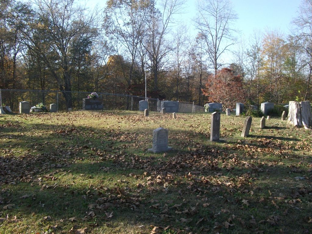
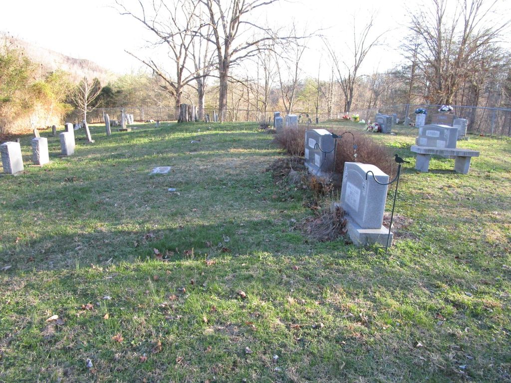
| Description | : | The entrance to the cemetery is located one quarter to one half mile past Goose Creek on Fork Field Road. There is a cattle gate where the cemetery road goes to the right up the hill. Make a right turn at the cattle gate and proceed up the hill. Where the road forks, keep to the left and continue up the hill to another cattle gate. This will bring you out on a plateau with the cemetery slightly to your left in the open field overlooking Red Bird River. |
frequently asked questions (FAQ):
-
Where is Brown-Wilson Cemetery?
Brown-Wilson Cemetery is located at Oneida, Clay County ,Kentucky ,USA.
-
Brown-Wilson Cemetery cemetery's updated grave count on graveviews.com?
4 memorials
-
Where are the coordinates of the Brown-Wilson Cemetery?
Latitude: 37.2606730
Longitude: -83.6402730
Nearby Cemetories:
1. Sierra Brooke Hensley Cemetery
Oneida, Clay County, USA
Coordinate: 37.2646960, -83.6373880
2. Oneida Cemetery
Oneida, Clay County, USA
Coordinate: 37.2669200, -83.6516600
3. Irvin Hill Cemetery
Oneida, Clay County, USA
Coordinate: 37.2506900, -83.6476100
4. Davidson Cemetery
Oneida, Clay County, USA
Coordinate: 37.2506220, -83.6476240
5. Martin-Davidson Cemetery
Oneida, Clay County, USA
Coordinate: 37.2486800, -83.6348100
6. Andrew Burns Cemetery
Oneida, Clay County, USA
Coordinate: 37.2561400, -83.6216500
7. Burns Cemetery
Oneida, Clay County, USA
Coordinate: 37.2721200, -83.6241500
8. L H Burns Cemetery
Oneida, Clay County, USA
Coordinate: 37.2571100, -83.6164300
9. Vernon Burns Family Cemetery
Oneida, Clay County, USA
Coordinate: 37.2503360, -83.6164050
10. Squire Hensley Cemetery
Oneida, Clay County, USA
Coordinate: 37.2547300, -83.6671500
11. Davidson Cemetery
Oneida, Clay County, USA
Coordinate: 37.2362800, -83.6376100
12. Spurlock Cemetery
Barcreek, Clay County, USA
Coordinate: 37.2312000, -83.6394000
13. Maxaline Baker Cemetery
Oneida, Clay County, USA
Coordinate: 37.2828400, -83.6668300
14. Herd Cemetery
Barcreek, Clay County, USA
Coordinate: 37.2277910, -83.6427200
15. R H Davidson Cemetery
Oneida, Clay County, USA
Coordinate: 37.2517600, -83.5994800
16. Phillip Wilson Cemetery
Barcreek, Clay County, USA
Coordinate: 37.2262600, -83.6348400
17. Rhonda L. Barger Cemetery
Oneida, Clay County, USA
Coordinate: 37.2871000, -83.6687100
18. Reuben Baker Cemetery
Barcreek, Clay County, USA
Coordinate: 37.2251000, -83.6325900
19. Andy Baker Cemetery
Barcreek, Clay County, USA
Coordinate: 37.2246100, -83.6333700
20. Brack Wilson Cemetery
Barcreek, Clay County, USA
Coordinate: 37.2240600, -83.6438700
21. Hensley Holiness Church Cemetery
Hensley, Clay County, USA
Coordinate: 37.2362800, -83.6760800
22. Daniel Baker Cemetery
Barcreek, Clay County, USA
Coordinate: 37.2244000, -83.6268700
23. Burns-Davidson Cemetery
Brutus, Clay County, USA
Coordinate: 37.2461100, -83.5948400
24. William C Gilbert Cemetery
Spurlock, Clay County, USA
Coordinate: 37.2218800, -83.6235500