
| Memorials | : | 1 |
| Location | : | Clarksville, El Dorado County, USA |
| Coordinate | : | 38.6546707, -121.0615387 |
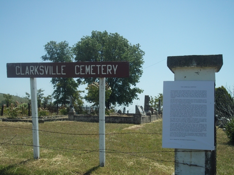
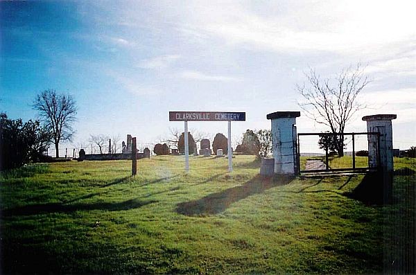
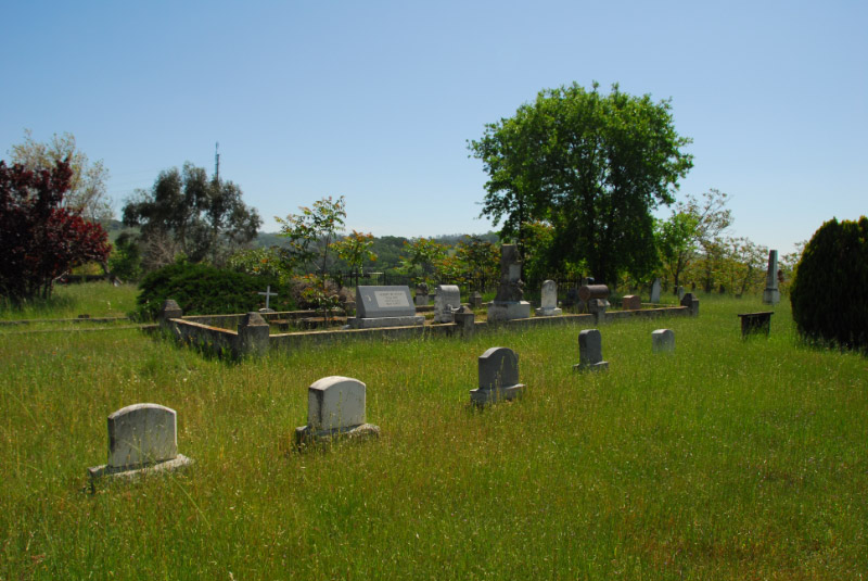
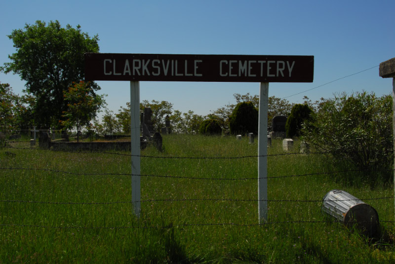
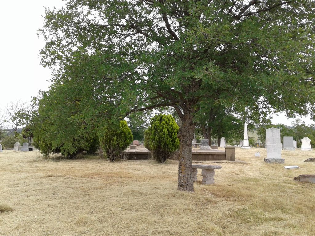
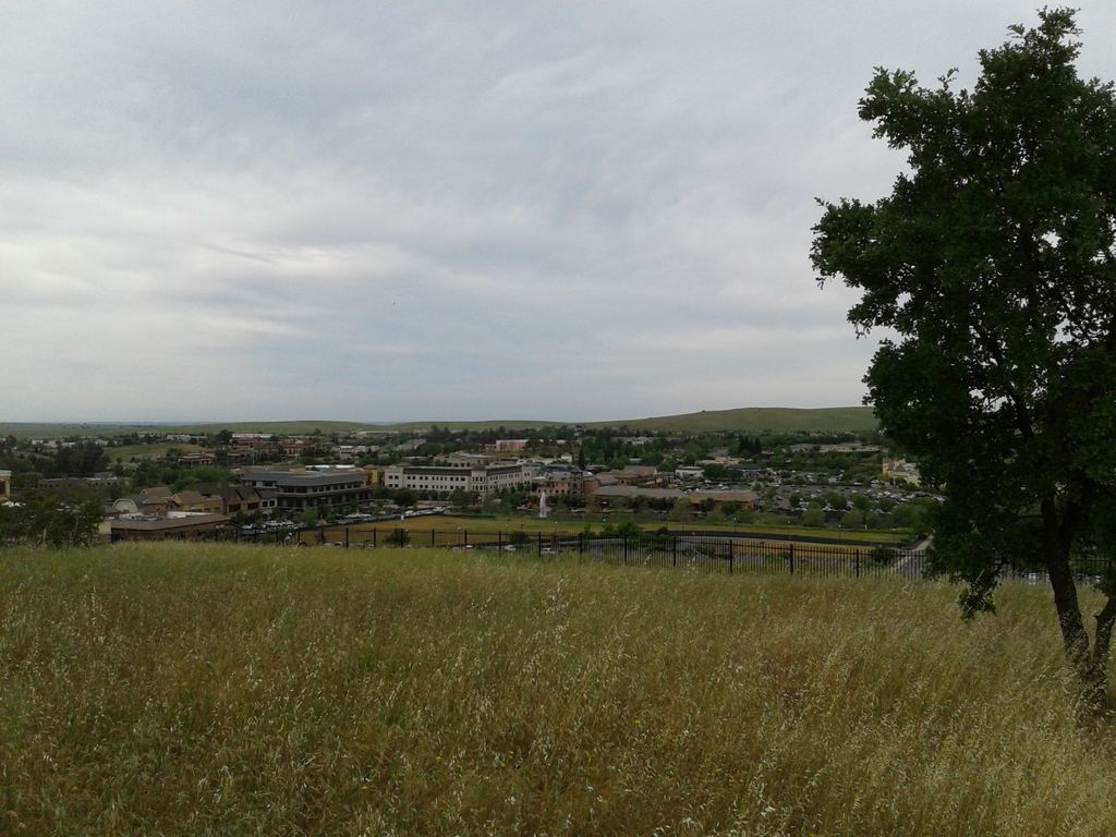
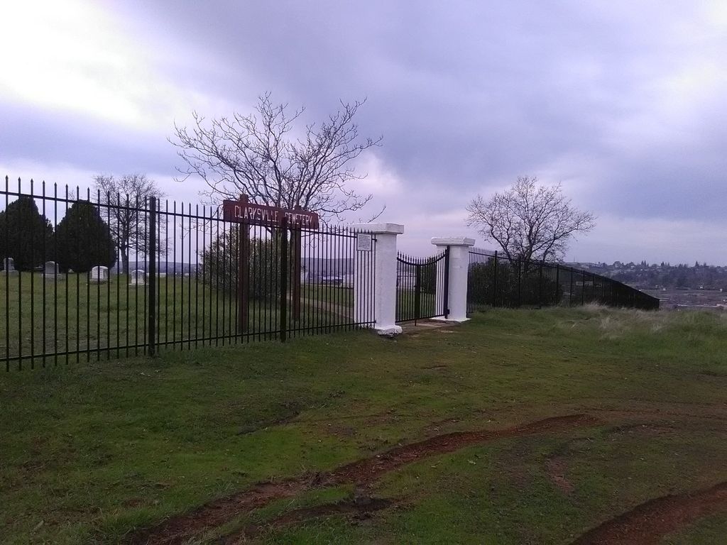
| Description | : | The Clarksville Cemetery is located on top of a hill overlooking the El Dorado Hills Town Center and Highway 50. You can access the cemetery from the Joerger Cut Road or walk up the hill from the upper parking lot of the District Church. The cemetery was also known as the Mormon Tavern Cemetery, named for the tavern that no longer exists (under Highway 50), that was part of the pioneer/stage route to Sacramento and a station for the Pony Express. The oldest existing headstone is of William Henry Sherman who died in 1854 although there could be older burials... Read More |
frequently asked questions (FAQ):
-
Where is Clarksville Cemetery?
Clarksville Cemetery is located at Clarksville, El Dorado County ,California ,USA.
-
Clarksville Cemetery cemetery's updated grave count on graveviews.com?
1 memorials
-
Where are the coordinates of the Clarksville Cemetery?
Latitude: 38.6546707
Longitude: -121.0615387
Nearby Cemetories:
1. Railroad House Cemetery
Clarksville, El Dorado County, USA
Coordinate: 38.6575699, -121.0516129
2. Morrison Ranch Family Cemetery
Clarksville, El Dorado County, USA
Coordinate: 38.6552887, -121.0368500
3. Rust Family Gravesite
Cameron Park, El Dorado County, USA
Coordinate: 38.6980160, -121.0207130
4. Mormon Island Relocation Cemetery
El Dorado Hills, El Dorado County, USA
Coordinate: 38.6986084, -121.1093521
5. Green Valley Cemetery
Rescue, El Dorado County, USA
Coordinate: 38.6993790, -121.0081406
6. Skinner Ranch Cemetery
Cameron Park, El Dorado County, USA
Coordinate: 38.6981812, -120.9972763
7. Saint Michaels Catholic Cemetery
Cameron Park, El Dorado County, USA
Coordinate: 38.6995010, -120.9985886
8. Duroc House Cemetery
Shingle Springs, El Dorado County, USA
Coordinate: 38.6528860, -120.9701690
9. Folsom Prison Cemetery
Folsom, Sacramento County, USA
Coordinate: 38.6952860, -121.1636690
10. Litten-McDonald Cemetery
Rescue, El Dorado County, USA
Coordinate: 38.7078750, -120.9628310
11. F.O.E. 929 Cemetery
Folsom, Sacramento County, USA
Coordinate: 38.6717010, -121.1801010
12. Saint John the Baptist Catholic Church Cemetery
Folsom, Sacramento County, USA
Coordinate: 38.6721900, -121.1803000
13. Young Wo Cemetery
Folsom, Sacramento County, USA
Coordinate: 38.6733400, -121.1835000
14. Lakeside Memorial Lawn Cemetery
Folsom, Sacramento County, USA
Coordinate: 38.6715300, -121.1841000
15. China Mission-Chung Wah Chinese Cemetery
Folsom, Sacramento County, USA
Coordinate: 38.6698410, -121.1851790
16. Planters House Cemetery
Shingle Springs, El Dorado County, USA
Coordinate: 38.6645820, -120.9321300
17. Bryant Cemetery
Latrobe, El Dorado County, USA
Coordinate: 38.5830383, -120.9679184
18. Shingle Springs Cemetery
Shingle Springs, El Dorado County, USA
Coordinate: 38.6648903, -120.9270325
19. Jayhawk Cemetery
Rescue, El Dorado County, USA
Coordinate: 38.7308006, -120.9627991
20. Latrobe Cemetery
Latrobe, El Dorado County, USA
Coordinate: 38.5613518, -120.9903412
21. Rose Springs Cemetery
Rescue, El Dorado County, USA
Coordinate: 38.7146150, -120.9398390
22. Meyer-Zentgraf Cemetery
Shingle Springs, El Dorado County, USA
Coordinate: 38.6710620, -120.9158490
23. Heusner Ranch Family Cemetery
Buckeye, El Dorado County, USA
Coordinate: 38.6675770, -120.9135260
24. Frenchtown Cemetery
Frenchtown, El Dorado County, USA
Coordinate: 38.6421585, -120.9132309