
| Memorials | : | 0 |
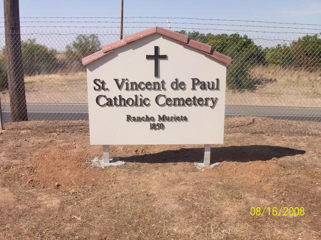
| Location | : | Rancho Murieta, Sacramento County, USA |
| Coordinate | : | 38.4850006, -121.0783005 |
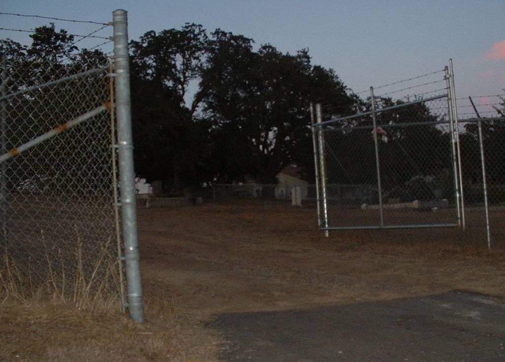
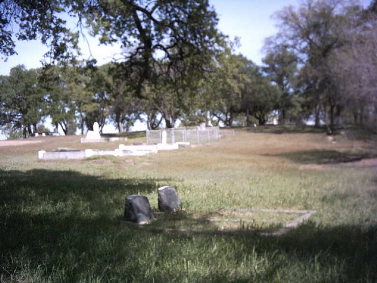
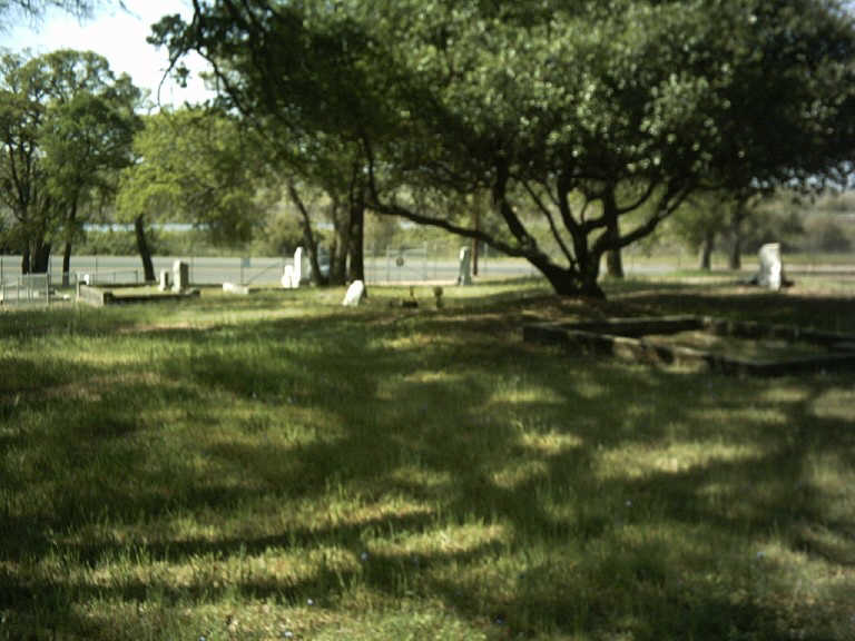
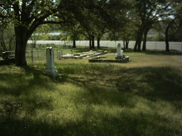
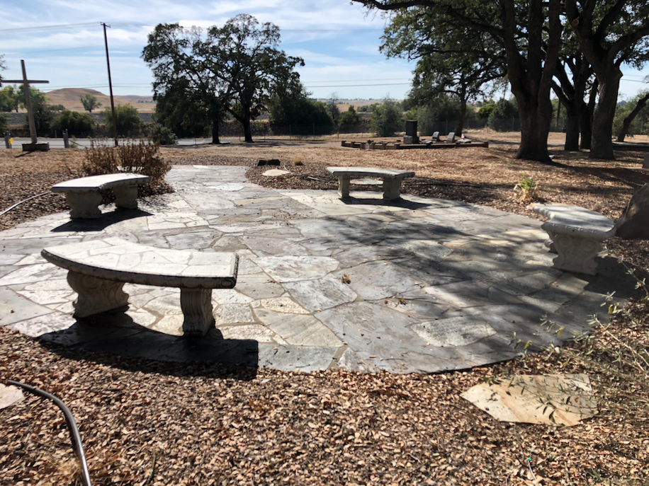
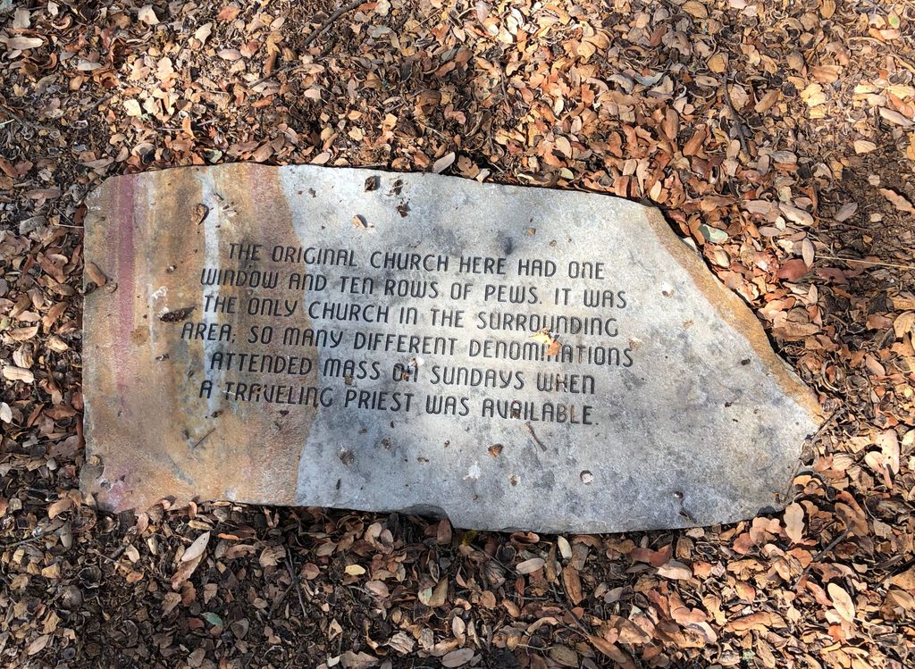
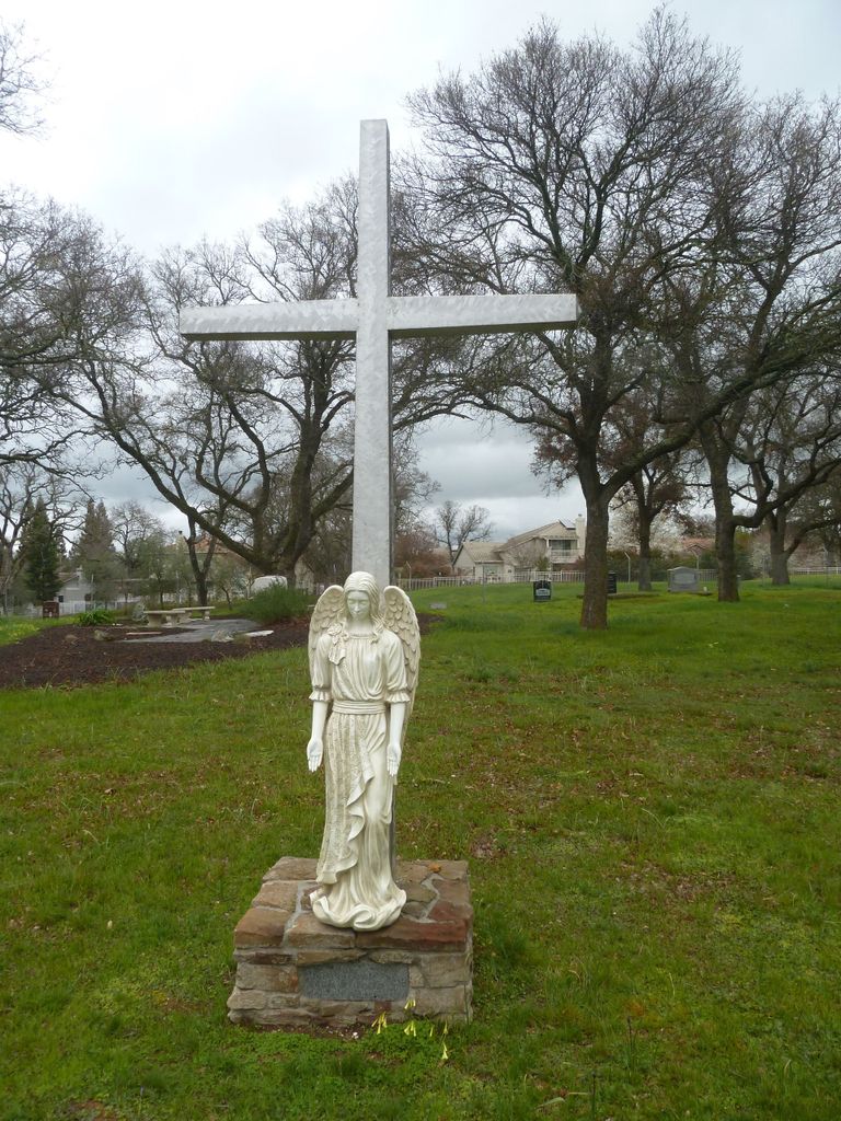
| Description | : | Gold was discovered in 1849 on the Cosumnes River by two men from Michigan, hence its name. The gold was collected by placer mining and the use of hydraulics, which created the irregular landscape in the area with mounds of the leftover dirt. The gold quickly ran out and the miners left for other areas. Michigan Bar is to the east of the current town of Rancho Murieta which is a resort/retirement community formed in 1982. Prior to that Rancho Murieta was named Live Oak roughly where this cemetery is located and also Cosumne(s). Nothing remains of either Live Oak... Read More |
frequently asked questions (FAQ):
-
Where is Michigan Bar Cemetery?
Michigan Bar Cemetery is located at 15287 Jackson Road Rancho Murieta, Sacramento County ,California , 95683USA.
-
Michigan Bar Cemetery cemetery's updated grave count on graveviews.com?
0 memorials
-
Where are the coordinates of the Michigan Bar Cemetery?
Latitude: 38.4850006
Longitude: -121.0783005

Nearby Cemetories:
1. Fay-Perry Cemetery
Rancho Murieta, Sacramento County, USA
Coordinate: 38.4995330, -121.0737910
2. Live Oak Cemetery
Sacramento County, USA
Coordinate: 38.4780998, -121.0408020
3. Moriah Heights Cemetery
Plymouth, Amador County, USA
Coordinate: 38.4797300, -121.0111300
4. Sloughhouse Pioneer Cemetery
Sloughhouse, Sacramento County, USA
Coordinate: 38.4950130, -121.1916080
5. Latrobe Cemetery
Latrobe, El Dorado County, USA
Coordinate: 38.5613518, -120.9903412
6. Bryant Cemetery
Latrobe, El Dorado County, USA
Coordinate: 38.5830383, -120.9679184
7. White Family Cemetery
Plymouth, Amador County, USA
Coordinate: 38.4915200, -120.9002200
8. Greater Sacramento Muslim Cemetery
Sacramento, Sacramento County, USA
Coordinate: 38.5128300, -121.2616800
9. Union Cemetery
Sacramento County, USA
Coordinate: 38.4477997, -121.2619019
10. Schenck Ranch Cemetery
Frenchtown, El Dorado County, USA
Coordinate: 38.5961120, -120.9281020
11. Preston School of Industry Cemetery
Ione, Amador County, USA
Coordinate: 38.3608440, -120.9371870
12. Clarksville Cemetery
Clarksville, El Dorado County, USA
Coordinate: 38.6546707, -121.0615387
13. Morrison Ranch Family Cemetery
Clarksville, El Dorado County, USA
Coordinate: 38.6552887, -121.0368500
14. Railroad House Cemetery
Clarksville, El Dorado County, USA
Coordinate: 38.6575699, -121.0516129
15. Cowboy Park Cemetery
Plymouth, Amador County, USA
Coordinate: 38.4787060, -120.8522060
16. Ione Catholic Cemetery
Ione, Amador County, USA
Coordinate: 38.3483040, -120.9329300
17. Plymouth IOOF Cemetery
Plymouth, Amador County, USA
Coordinate: 38.4791000, -120.8506800
18. Drytown City Cemetery
Amador County, USA
Coordinate: 38.4407425, -120.8577118
19. Ione Public Cemetery
Ione, Amador County, USA
Coordinate: 38.3478830, -120.9322000
20. Plymouth Memorial Cemetery
Plymouth, Amador County, USA
Coordinate: 38.4821160, -120.8496160
21. Saint Stephens Cemetery
Drytown, Amador County, USA
Coordinate: 38.4417730, -120.8522840
22. Chinese Cemetery
Placerville, El Dorado County, USA
Coordinate: 38.5836700, -120.8817100
23. Fanny Creek Cemetery
El Dorado County, USA
Coordinate: 38.5837700, -120.8816900
24. Camellia Memorial Lawn Cemetery
Sacramento, Sacramento County, USA
Coordinate: 38.5242004, -121.3097000