
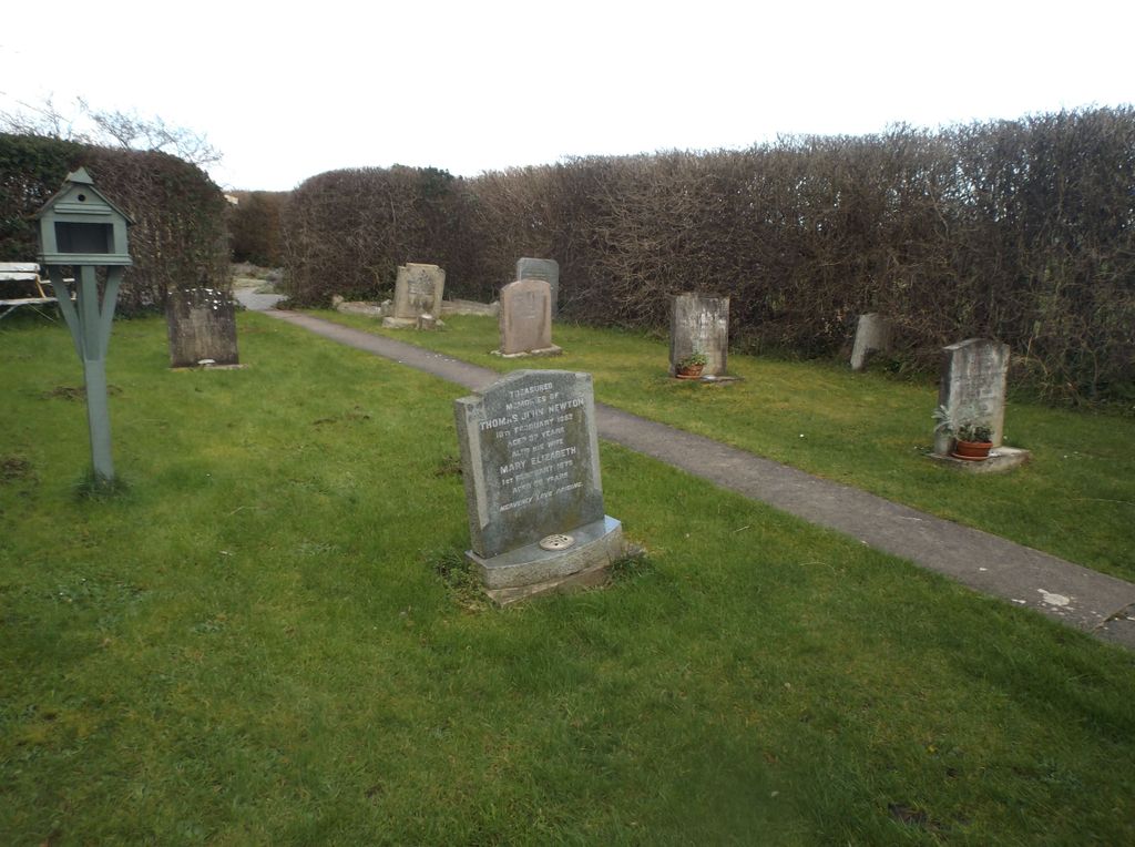
| Memorials | : | 1 |
| Location | : | Stogursey, West Somerset District, England |
| Coordinate | : | 51.1910560, -3.1560340 |
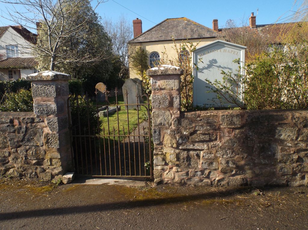
| Description | : | Built in 1833, the chapel joined the Western Baptist Association in 1836. It was still open in 1985 but no longer a member of the Baptist Union. It's a Grade II listed building of architectural interest with a very small graveyard and is now a private dwelling. ~ J.D |
frequently asked questions (FAQ):
-
Where is Burton Baptist Chapel?
Burton Baptist Chapel is located at Knighton Lane Stogursey, West Somerset District ,Somerset , TA5 1QJEngland.
-
Burton Baptist Chapel cemetery's updated grave count on graveviews.com?
1 memorials
-
Where are the coordinates of the Burton Baptist Chapel?
Latitude: 51.1910560
Longitude: -3.1560340
Nearby Cemetories:
1. Stogursey Extension Cemetery
Stogursey, West Somerset District, England
Coordinate: 51.1793740, -3.1398040
2. St Andrew Churchyard
Stogursey, West Somerset District, England
Coordinate: 51.1795900, -3.1392800
3. St. Mary's Churchyard
Stringston, West Somerset District, England
Coordinate: 51.1748960, -3.1795460
4. St. Andrew's Churchyard
Lilstock, West Somerset District, England
Coordinate: 51.1971070, -3.1936420
5. St. Nicholas's Churchyard
Holford, West Somerset District, England
Coordinate: 51.1902700, -3.1949170
6. All Saints Churchyard
Dodington, West Somerset District, England
Coordinate: 51.1583770, -3.1854620
7. St. Martin's Churchyard
Fiddington, Sedgemoor District, England
Coordinate: 51.1591640, -3.1229530
8. St. Mary's Churchyard
Nether Stowey, Sedgemoor District, England
Coordinate: 51.1502280, -3.1494270
9. Nether Stowey Cemetery
Nether Stowey, Sedgemoor District, England
Coordinate: 51.1498667, -3.1530087
10. St Mary's Churchyard
Kilve, West Somerset District, England
Coordinate: 51.1883100, -3.2223530
11. St.Mary Magdalene
Stockland Bristol, Sedgemoor District, England
Coordinate: 51.1867260, -3.0886950
12. St. Mary's Churchyard
Holford, West Somerset District, England
Coordinate: 51.1627900, -3.2074238
13. All Saints Churchyard
Otterhampton, Sedgemoor District, England
Coordinate: 51.1829540, -3.0796420
14. Otterhampton Extension Cemetery
Otterhampton, Sedgemoor District, England
Coordinate: 51.1828490, -3.0791630
15. Over Stowey Cemetery
Over Stowey, Sedgemoor District, England
Coordinate: 51.1404020, -3.1661850
16. St. Mary's Churchyard
East Quantoxhead, West Somerset District, England
Coordinate: 51.1855220, -3.2370690
17. St Peter and St Paul Churchyard
Over Stowey, Sedgemoor District, England
Coordinate: 51.1399680, -3.1656040
18. Cannington Cemetery
Cannington, Sedgemoor District, England
Coordinate: 51.1500620, -3.0697070
19. Saint Margaret's Churchyard
Spaxton, Sedgemoor District, England
Coordinate: 51.1273090, -3.1087000
20. Spaxton Extension Cemetery
Spaxton, Sedgemoor District, England
Coordinate: 51.1267650, -3.1082920
21. Charlynch Church of Saint Mary
Spaxton, Sedgemoor District, England
Coordinate: 51.1342600, -3.0879100
22. Blessed Virgin Mary Churchyard
Cannington, Sedgemoor District, England
Coordinate: 51.1500970, -3.0622850
23. St. Audries Churchyard
West Quantoxhead, West Somerset District, England
Coordinate: 51.1688420, -3.2717650
24. All Saints Churchyard
Aisholt, Sedgemoor District, England
Coordinate: 51.1142070, -3.1532890