
| Memorials | : | 19 |
| Location | : | Stogursey, West Somerset District, England |
| Coordinate | : | 51.1793740, -3.1398040 |
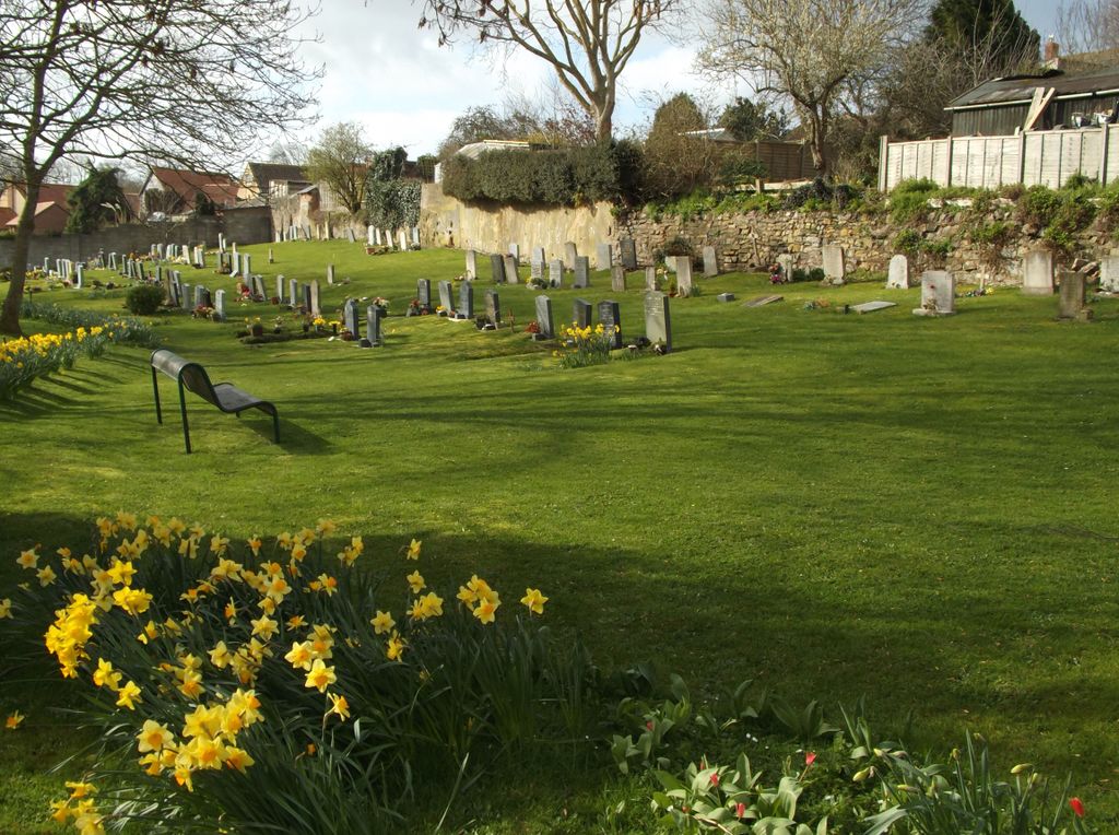
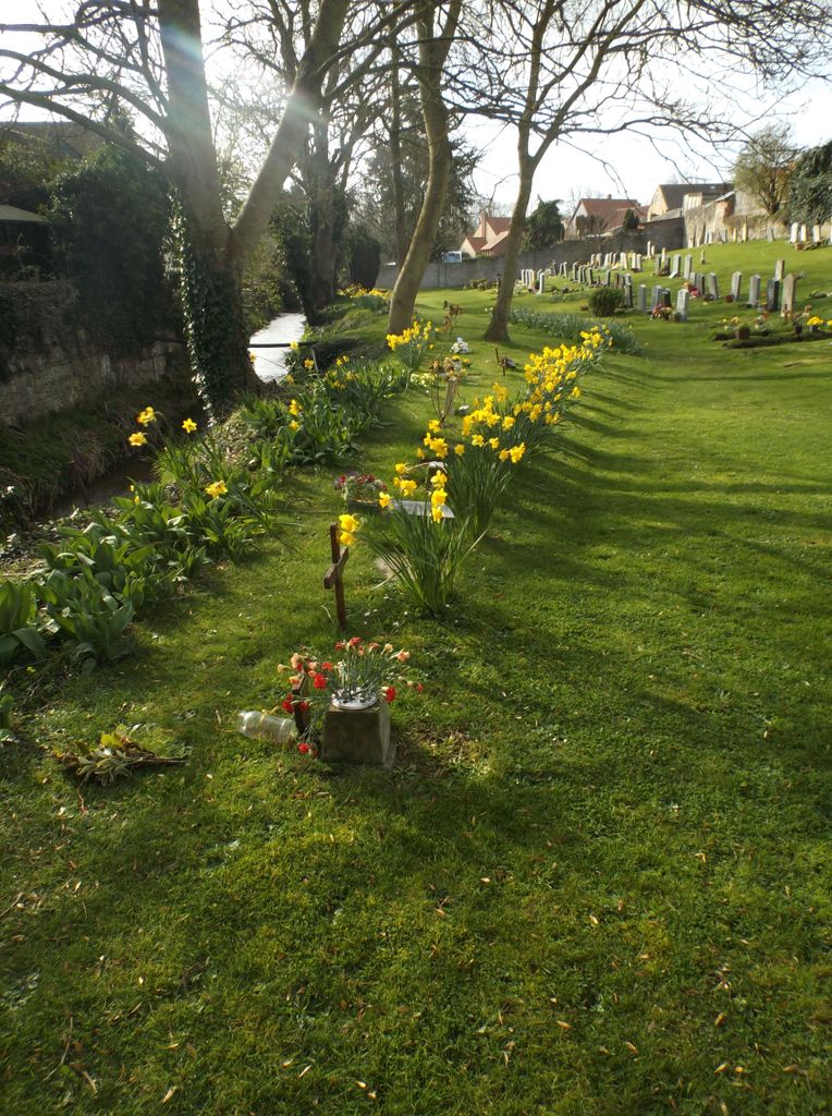
| Description | : | This well kept Cemetery on the opposite side of Stogursey Brook, from St. Andrew's Churchyard, is mainly due to the dedication of Husband and Wife team - Rueben and Rose Nurton. They have lovingly looked after the graveyard following the loss of their son Paul in 1963. Since Rueben's passing in 2009, Rose has continued to raise funds to help pay for it's upkeep. Rose received a boost to her funds when Tim Handel, himself a bereaved father and teacher at Chilton Trinity, ran the Dartmoor Road Race. Since 2012, Tim has raised funds for the 'Cots for... Read More |
frequently asked questions (FAQ):
-
Where is Stogursey Extension Cemetery?
Stogursey Extension Cemetery is located at High Street Stogursey, West Somerset District ,Somerset , TA5 1TQEngland.
-
Stogursey Extension Cemetery cemetery's updated grave count on graveviews.com?
19 memorials
-
Where are the coordinates of the Stogursey Extension Cemetery?
Latitude: 51.1793740
Longitude: -3.1398040
Nearby Cemetories:
1. St Andrew Churchyard
Stogursey, West Somerset District, England
Coordinate: 51.1795900, -3.1392800
2. Burton Baptist Chapel
Stogursey, West Somerset District, England
Coordinate: 51.1910560, -3.1560340
3. St. Martin's Churchyard
Fiddington, Sedgemoor District, England
Coordinate: 51.1591640, -3.1229530
4. St. Mary's Churchyard
Stringston, West Somerset District, England
Coordinate: 51.1748960, -3.1795460
5. St. Mary's Churchyard
Nether Stowey, Sedgemoor District, England
Coordinate: 51.1502280, -3.1494270
6. Nether Stowey Cemetery
Nether Stowey, Sedgemoor District, England
Coordinate: 51.1498667, -3.1530087
7. St.Mary Magdalene
Stockland Bristol, Sedgemoor District, England
Coordinate: 51.1867260, -3.0886950
8. All Saints Churchyard
Dodington, West Somerset District, England
Coordinate: 51.1583770, -3.1854620
9. St. Nicholas's Churchyard
Holford, West Somerset District, England
Coordinate: 51.1902700, -3.1949170
10. All Saints Churchyard
Otterhampton, Sedgemoor District, England
Coordinate: 51.1829540, -3.0796420
11. St. Andrew's Churchyard
Lilstock, West Somerset District, England
Coordinate: 51.1971070, -3.1936420
12. Otterhampton Extension Cemetery
Otterhampton, Sedgemoor District, England
Coordinate: 51.1828490, -3.0791630
13. Over Stowey Cemetery
Over Stowey, Sedgemoor District, England
Coordinate: 51.1404020, -3.1661850
14. St Peter and St Paul Churchyard
Over Stowey, Sedgemoor District, England
Coordinate: 51.1399680, -3.1656040
15. St. Mary's Churchyard
Holford, West Somerset District, England
Coordinate: 51.1627900, -3.2074238
16. St Mary's Churchyard
Kilve, West Somerset District, England
Coordinate: 51.1883100, -3.2223530
17. Cannington Cemetery
Cannington, Sedgemoor District, England
Coordinate: 51.1500620, -3.0697070
18. Saint Margaret's Churchyard
Spaxton, Sedgemoor District, England
Coordinate: 51.1273090, -3.1087000
19. Charlynch Church of Saint Mary
Spaxton, Sedgemoor District, England
Coordinate: 51.1342600, -3.0879100
20. Spaxton Extension Cemetery
Spaxton, Sedgemoor District, England
Coordinate: 51.1267650, -3.1082920
21. Blessed Virgin Mary Churchyard
Cannington, Sedgemoor District, England
Coordinate: 51.1500970, -3.0622850
22. St. Mary's Churchyard
East Quantoxhead, West Somerset District, England
Coordinate: 51.1855220, -3.2370690
23. All Saints Churchyard
Aisholt, Sedgemoor District, England
Coordinate: 51.1142070, -3.1532890
24. St. Michael's Churchyard
Enmore, Sedgemoor District, England
Coordinate: 51.1110830, -3.0872790