
| Memorials | : | 0 |
| Location | : | Sulphur Well, Metcalfe County, USA |
| Coordinate | : | 37.0973560, -85.6375380 |
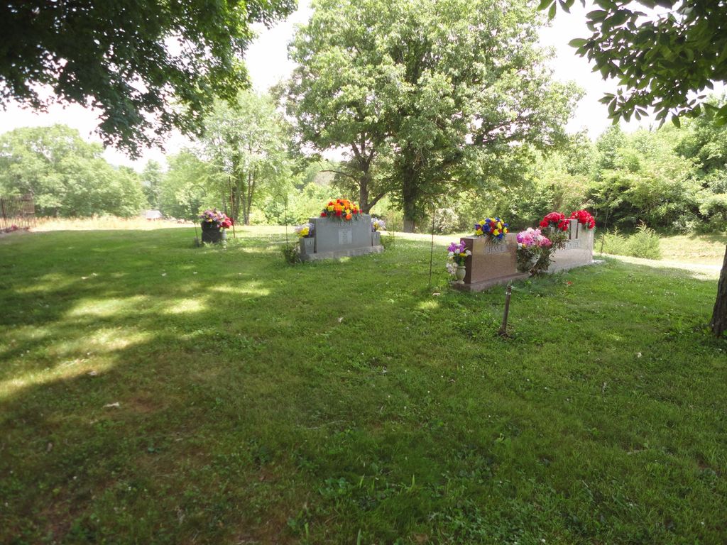
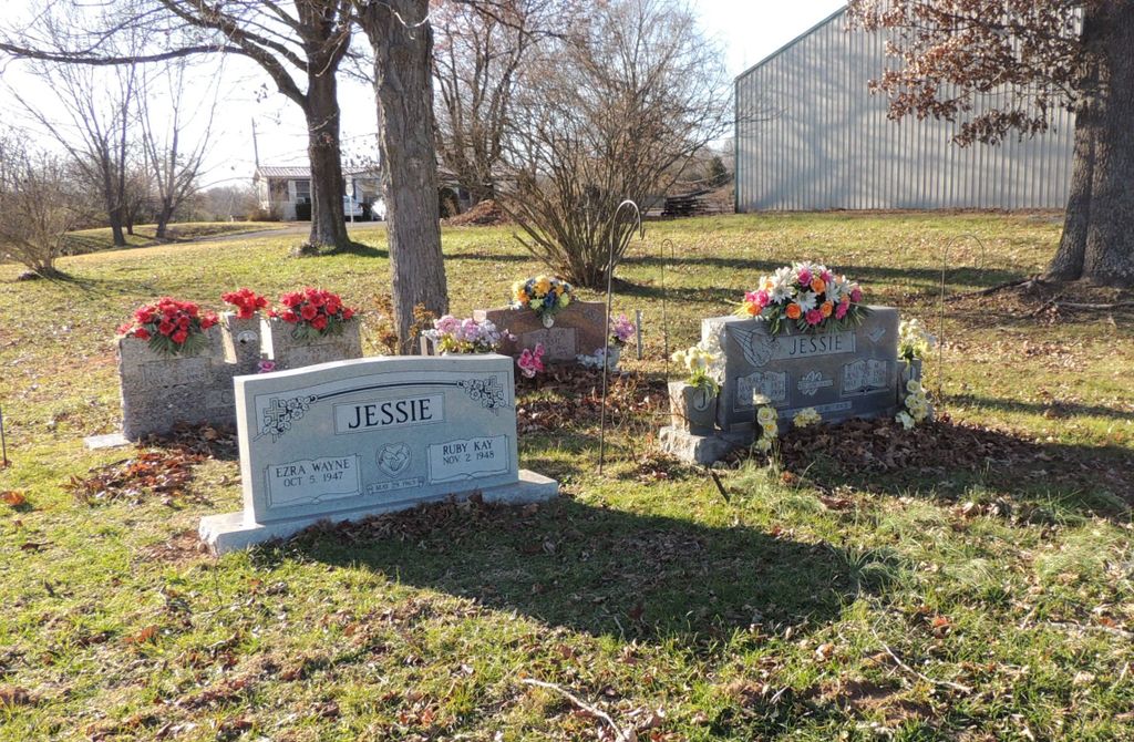
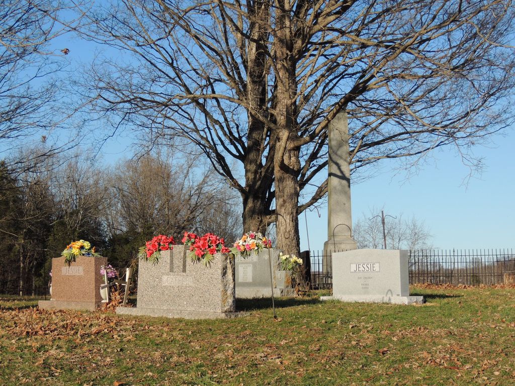
| Description | : | The cemetery is located on the northeast corner of the intersection of Sulphur Well Knob Lick Road (Kentucky State Highway 70) and Sulphur Well Center Road (Kentucky State Highway 869). The cemetery is #33 (Caffee Cemetery) in the list of cemeteries and is described on page 41 in Metcalfe County, Kentucky Cemetery Records Volume I, © 1983 Metcalfe Historical Society, published by McDowell Publications, Utica, Kentucky. |
frequently asked questions (FAQ):
-
Where is Caffee Cemetery?
Caffee Cemetery is located at 36 Sulphur Well Center Road (Kentucky State highway 869) Sulphur Well, Metcalfe County ,Kentucky , 42124USA.
-
Caffee Cemetery cemetery's updated grave count on graveviews.com?
0 memorials
-
Where are the coordinates of the Caffee Cemetery?
Latitude: 37.0973560
Longitude: -85.6375380
Nearby Cemetories:
1. Thompson Cemetery
Sulphur Well, Metcalfe County, USA
Coordinate: 37.0974680, -85.6374450
2. Smith Cemetery
Sulphur Well, Metcalfe County, USA
Coordinate: 37.1026880, -85.6427970
3. Smith Cemetery
Sulphur Well, Metcalfe County, USA
Coordinate: 37.1041450, -85.6321840
4. Edwards Family Cemetery
Center, Metcalfe County, USA
Coordinate: 37.1052820, -85.6404790
5. Church of Jesus Christ of Latter-Day Saints Cemete
Sulphur Well, Metcalfe County, USA
Coordinate: 37.1041800, -85.6290610
6. Boston Cemetery
Sulphur Well, Metcalfe County, USA
Coordinate: 37.0941480, -85.6223460
7. Neal Cemetery
Sulphur Well, Metcalfe County, USA
Coordinate: 37.1115930, -85.6395810
8. Williams Cemetery
Sulphur Well, Metcalfe County, USA
Coordinate: 37.1087770, -85.6507440
9. Oakes Cemetery
Edmonton, Metcalfe County, USA
Coordinate: 37.0811320, -85.6409770
10. Thompson Cemetery
Knob Lick, Metcalfe County, USA
Coordinate: 37.0847450, -85.6516670
11. Roy Jeffries Cemetery
Sulphur Well, Metcalfe County, USA
Coordinate: 37.0813090, -85.6298810
12. Muriell Bailey Cemetery
Sulphur Well, Metcalfe County, USA
Coordinate: 37.0922990, -85.6592250
13. Royse Cemetery
Knob Lick, Metcalfe County, USA
Coordinate: 37.0953110, -85.6608680
14. Bailey-Bass Cemetery
Sulphur Well, Metcalfe County, USA
Coordinate: 37.0953210, -85.6610160
15. Clark Cemetery
Sulphur Well, Metcalfe County, USA
Coordinate: 37.1164260, -85.6376390
16. Morgan Cemetery
Sulphur Well, Metcalfe County, USA
Coordinate: 37.1173718, -85.6299925
17. Malone Cemetery
Sulphur Well, Metcalfe County, USA
Coordinate: 37.1058650, -85.6619580
18. Little Barren Baptist Church Cemetery
Sulphur Well, Metcalfe County, USA
Coordinate: 37.1015120, -85.6089250
19. Kinser Grave
Knob Lick, Metcalfe County, USA
Coordinate: 37.0975130, -85.6680540
20. Pink Ridge Cemetery
Metcalfe County, USA
Coordinate: 37.0772990, -85.6195660
21. Seven Springs Cemetery
Sulphur Well, Metcalfe County, USA
Coordinate: 37.1225014, -85.6405563
22. Embree Cemetery
Knob Lick, Metcalfe County, USA
Coordinate: 37.0999670, -85.6700440
23. Porter Cemetery
Center, Metcalfe County, USA
Coordinate: 37.1236070, -85.6500000
24. Chapman-Cox Cemetery
Sulphur Well, Metcalfe County, USA
Coordinate: 37.0850100, -85.6722260