
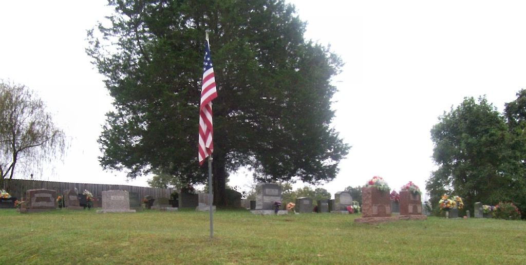
| Memorials | : | 0 |
| Location | : | Sulphur Well, Metcalfe County, USA |
| Coordinate | : | 37.1041800, -85.6290610 |
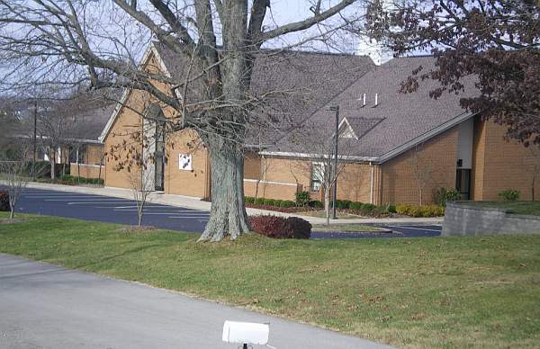
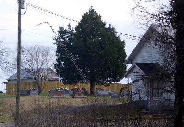
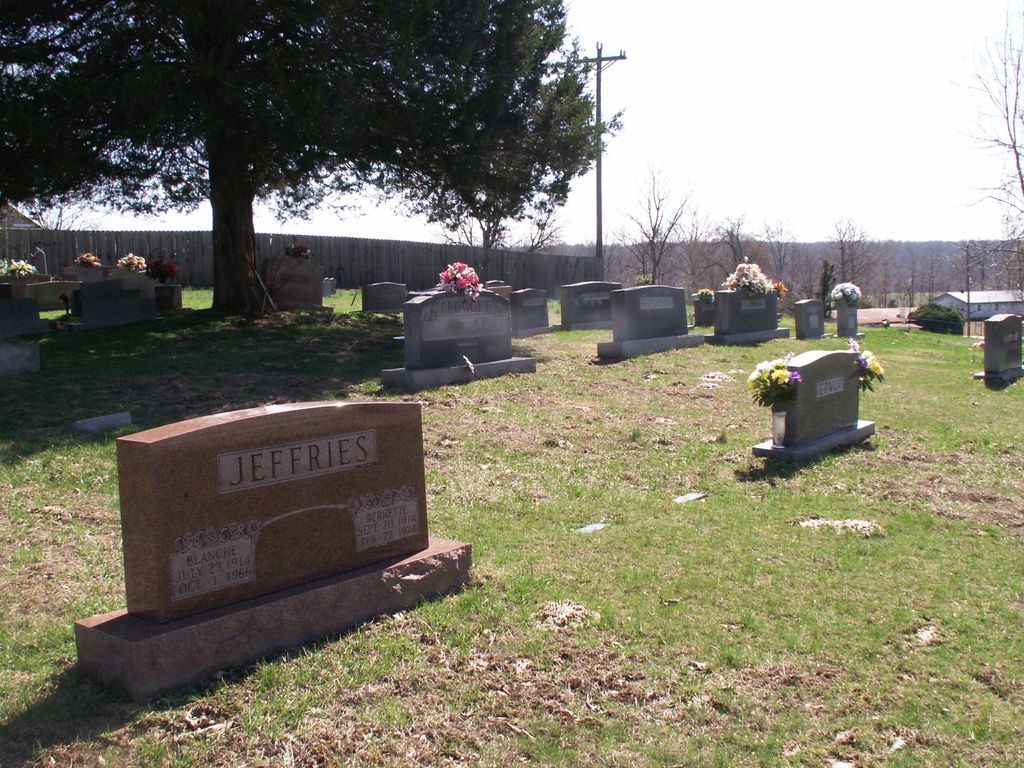
| Description | : | Cemetery is across the road from the new church and is located to the side of the old church building. |
frequently asked questions (FAQ):
-
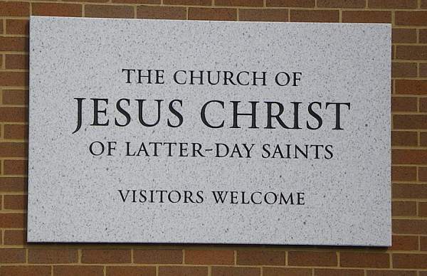
Where is Church of Jesus Christ of Latter-Day Saints Cemete?
Church of Jesus Christ of Latter-Day Saints Cemete is located at Mitchell Edwards Road Sulphur Well, Metcalfe County ,Kentucky , 42129USA.
-
Church of Jesus Christ of Latter-Day Saints Cemete cemetery's updated grave count on graveviews.com?
0 memorials
-
Where are the coordinates of the Church of Jesus Christ of Latter-Day Saints Cemete?
Latitude: 37.1041800
Longitude: -85.6290610
Nearby Cemetories:
1. Smith Cemetery
Sulphur Well, Metcalfe County, USA
Coordinate: 37.1041450, -85.6321840
2. Edwards Family Cemetery
Center, Metcalfe County, USA
Coordinate: 37.1052820, -85.6404790
3. Thompson Cemetery
Sulphur Well, Metcalfe County, USA
Coordinate: 37.0974680, -85.6374450
4. Caffee Cemetery
Sulphur Well, Metcalfe County, USA
Coordinate: 37.0973560, -85.6375380
5. Smith Cemetery
Sulphur Well, Metcalfe County, USA
Coordinate: 37.1026880, -85.6427970
6. Neal Cemetery
Sulphur Well, Metcalfe County, USA
Coordinate: 37.1115930, -85.6395810
7. Boston Cemetery
Sulphur Well, Metcalfe County, USA
Coordinate: 37.0941480, -85.6223460
8. Morgan Cemetery
Sulphur Well, Metcalfe County, USA
Coordinate: 37.1173718, -85.6299925
9. Clark Cemetery
Sulphur Well, Metcalfe County, USA
Coordinate: 37.1164260, -85.6376390
10. Little Barren Baptist Church Cemetery
Sulphur Well, Metcalfe County, USA
Coordinate: 37.1015120, -85.6089250
11. Williams Cemetery
Sulphur Well, Metcalfe County, USA
Coordinate: 37.1087770, -85.6507440
12. Seven Springs Cemetery
Sulphur Well, Metcalfe County, USA
Coordinate: 37.1225014, -85.6405563
13. Roy Jeffries Cemetery
Sulphur Well, Metcalfe County, USA
Coordinate: 37.0813090, -85.6298810
14. Oakes Cemetery
Edmonton, Metcalfe County, USA
Coordinate: 37.0811320, -85.6409770
15. Porter Cemetery
Center, Metcalfe County, USA
Coordinate: 37.1236070, -85.6500000
16. Malone Cemetery
Sulphur Well, Metcalfe County, USA
Coordinate: 37.1058650, -85.6619580
17. Thompson Cemetery
Knob Lick, Metcalfe County, USA
Coordinate: 37.0847450, -85.6516670
18. Muriell Bailey Cemetery
Sulphur Well, Metcalfe County, USA
Coordinate: 37.0922990, -85.6592250
19. Royse Cemetery
Knob Lick, Metcalfe County, USA
Coordinate: 37.0953110, -85.6608680
20. Bailey-Bass Cemetery
Sulphur Well, Metcalfe County, USA
Coordinate: 37.0953210, -85.6610160
21. Pink Ridge Cemetery
Metcalfe County, USA
Coordinate: 37.0772990, -85.6195660
22. Kinser Grave
Knob Lick, Metcalfe County, USA
Coordinate: 37.0975130, -85.6680540
23. McCandless Cemetery
Green County, USA
Coordinate: 37.1363983, -85.6324997
24. Embree Cemetery
Knob Lick, Metcalfe County, USA
Coordinate: 37.0999670, -85.6700440