
| Memorials | : | 0 |
| Location | : | Knob Lick, Metcalfe County, USA |
| Coordinate | : | 37.0847450, -85.6516670 |
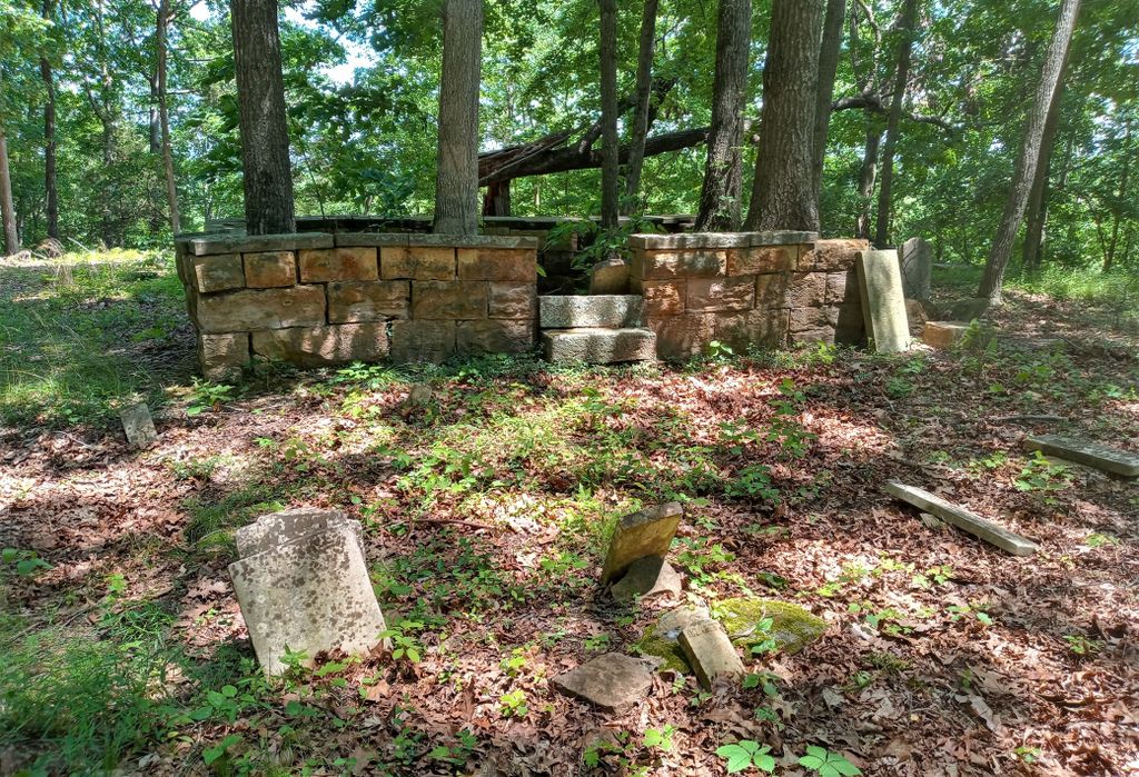
| Description | : | On Highway 70, 2 miles east of Knob Lick. Turn right on road that was on the Dennis Caffee farm in 1979. Go 1.5 miles off Highway 70 between Knob lick an Sulphur Well. Cemetery is on the south fork of Little Barren River. |
frequently asked questions (FAQ):
-
Where is Thompson Cemetery?
Thompson Cemetery is located at Genesis Road Knob Lick, Metcalfe County ,Kentucky , 42214USA.
-
Thompson Cemetery cemetery's updated grave count on graveviews.com?
0 memorials
-
Where are the coordinates of the Thompson Cemetery?
Latitude: 37.0847450
Longitude: -85.6516670
Nearby Cemetories:
1. Oakes Cemetery
Edmonton, Metcalfe County, USA
Coordinate: 37.0811320, -85.6409770
2. Muriell Bailey Cemetery
Sulphur Well, Metcalfe County, USA
Coordinate: 37.0922990, -85.6592250
3. Royse Cemetery
Knob Lick, Metcalfe County, USA
Coordinate: 37.0953110, -85.6608680
4. Bailey-Bass Cemetery
Sulphur Well, Metcalfe County, USA
Coordinate: 37.0953210, -85.6610160
5. Chapman-Cox Cemetery
Sulphur Well, Metcalfe County, USA
Coordinate: 37.0850100, -85.6722260
6. Caffee Cemetery
Sulphur Well, Metcalfe County, USA
Coordinate: 37.0973560, -85.6375380
7. Thompson Cemetery
Sulphur Well, Metcalfe County, USA
Coordinate: 37.0974680, -85.6374450
8. Roy Jeffries Cemetery
Sulphur Well, Metcalfe County, USA
Coordinate: 37.0813090, -85.6298810
9. Kinser Grave
Knob Lick, Metcalfe County, USA
Coordinate: 37.0975130, -85.6680540
10. Lee Cemetery
Sulphur Well, Metcalfe County, USA
Coordinate: 37.0834990, -85.6746260
11. Smith Cemetery
Sulphur Well, Metcalfe County, USA
Coordinate: 37.1026880, -85.6427970
12. Embree Cemetery
Knob Lick, Metcalfe County, USA
Coordinate: 37.0999670, -85.6700440
13. Douglas Cemetery
Knob Lick, Metcalfe County, USA
Coordinate: 37.0962070, -85.6755610
14. Edwards Family Cemetery
Center, Metcalfe County, USA
Coordinate: 37.1052820, -85.6404790
15. Malone Cemetery
Sulphur Well, Metcalfe County, USA
Coordinate: 37.1058650, -85.6619580
16. Williams Cemetery
Sulphur Well, Metcalfe County, USA
Coordinate: 37.1087770, -85.6507440
17. Smith Cemetery
Sulphur Well, Metcalfe County, USA
Coordinate: 37.1041450, -85.6321840
18. Boston Cemetery
Sulphur Well, Metcalfe County, USA
Coordinate: 37.0941480, -85.6223460
19. Embree Cemetery
Knob Lick, Metcalfe County, USA
Coordinate: 37.0861380, -85.6841560
20. Sulphur Springs Cemetery
Beechville, Metcalfe County, USA
Coordinate: 37.0624890, -85.6347760
21. Church of Jesus Christ of Latter-Day Saints Cemete
Sulphur Well, Metcalfe County, USA
Coordinate: 37.1041800, -85.6290610
22. Pink Ridge Cemetery
Metcalfe County, USA
Coordinate: 37.0772990, -85.6195660
23. Tibbs Burial Grounds
Knob Lick, Metcalfe County, USA
Coordinate: 37.0627950, -85.6741820
24. Neal Cemetery
Sulphur Well, Metcalfe County, USA
Coordinate: 37.1115930, -85.6395810