
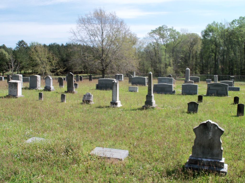
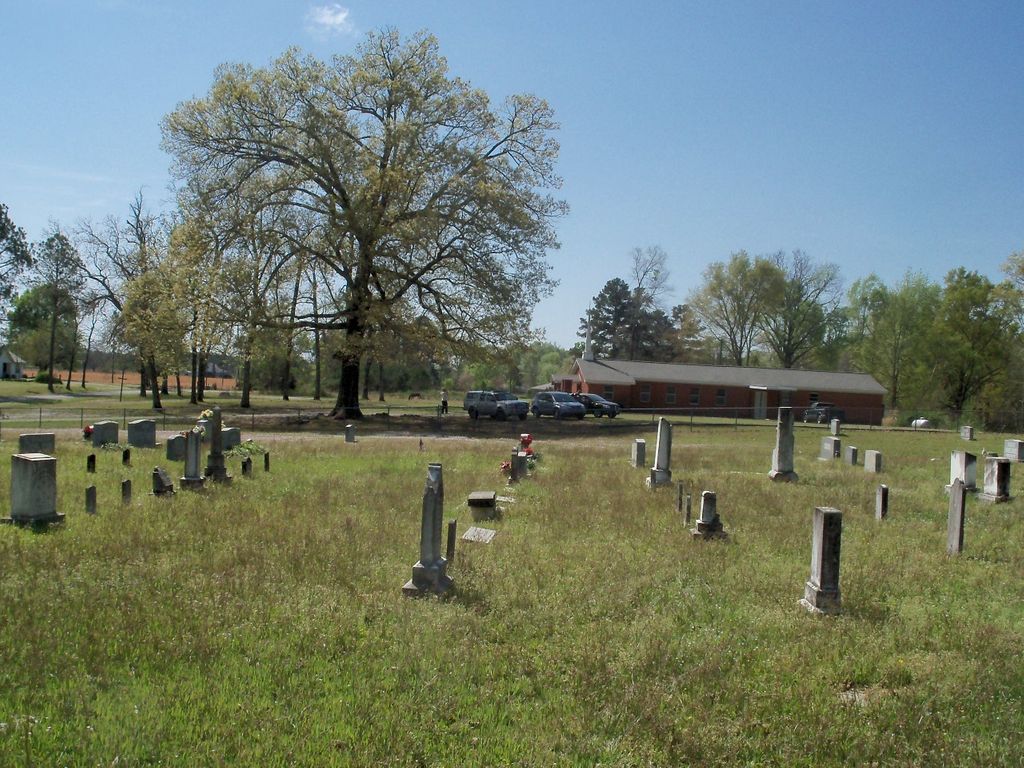
| Memorials | : | 1 |
| Location | : | Clay County, USA |
| Coordinate | : | 33.6671660, -88.8979230 |
frequently asked questions (FAQ):
-
Where is Cairo Cumberland Presbyterian Church Cemetery?
Cairo Cumberland Presbyterian Church Cemetery is located at Cairo Road Clay County ,Mississippi ,USA.
-
Cairo Cumberland Presbyterian Church Cemetery cemetery's updated grave count on graveviews.com?
1 memorials
-
Where are the coordinates of the Cairo Cumberland Presbyterian Church Cemetery?
Latitude: 33.6671660
Longitude: -88.8979230

Nearby Cemetories:
1. Old Montpelier Cemetery
Clay County, USA
Coordinate: 33.6949997, -88.8996964
2. Hopewell Missionary Baptist Church Cemetery
Cedar Bluff, Clay County, USA
Coordinate: 33.6579540, -88.8563310
3. Enon Baptist Cemetery
Cairo, Clay County, USA
Coordinate: 33.6961710, -88.8663110
4. Clark Chapel Cemetery
Beasley, Clay County, USA
Coordinate: 33.6448030, -88.9407320
5. Saint Paul Cemetery
Clay County, USA
Coordinate: 33.7094002, -88.9143982
6. Palestine Cemetery
Montpelier, Clay County, USA
Coordinate: 33.7106018, -88.9207993
7. Henryville Methodist Cemetery
Pheba, Clay County, USA
Coordinate: 33.6163368, -88.9111099
8. Methodist Cemetery
Clay County, USA
Coordinate: 33.6147003, -88.9105988
9. Hebron Cemetery
Pheba, Clay County, USA
Coordinate: 33.6136340, -88.9068440
10. Mount Zion Cemetery
Clay County, USA
Coordinate: 33.6116982, -88.9049988
11. Catholic Cemetery
Montpelier, Clay County, USA
Coordinate: 33.7064580, -88.9479520
12. Mosley Cemetery
Clay County, USA
Coordinate: 33.6232986, -88.8416977
13. Watkins Cemetery
Clay County, USA
Coordinate: 33.6436930, -88.8247460
14. Watkins-Stephens Cemetery
Griffith, Clay County, USA
Coordinate: 33.6433000, -88.8247000
15. Johnson Creek M.B. Church Cemetery
Beasley, Clay County, USA
Coordinate: 33.6191710, -88.9623300
16. Rocky Hill Cemetery
Clay County, USA
Coordinate: 33.7322006, -88.8566971
17. Lower Prairie Creek Cemetery
Clay County, USA
Coordinate: 33.7150002, -88.9655991
18. Greene Family Cemetery
Palo Alto, Clay County, USA
Coordinate: 33.6446830, -88.8108360
19. Palo Alto Missionary Baptist Church Cemetery
Palo Alto, Clay County, USA
Coordinate: 33.6961021, -88.8060913
20. Chandler Cemetery
Clay County, USA
Coordinate: 33.6958008, -88.8050003
21. Palo Alto Cemetery
Palo Alto, Clay County, USA
Coordinate: 33.7089005, -88.8106003
22. Prairie Creek Cemetery
Clay County, USA
Coordinate: 33.7242012, -88.9736023
23. Cedar Bluff Cumberland Presbyterian Cemetery
Cedar Bluff, Clay County, USA
Coordinate: 33.5931015, -88.8439026
24. Pheba Community Cemetery
Pheba, Clay County, USA
Coordinate: 33.5862510, -88.9396460