
| Memorials | : | 0 |
| Location | : | Cairo, Clay County, USA |
| Coordinate | : | 33.6961710, -88.8663110 |
frequently asked questions (FAQ):
-
Where is Enon Baptist Cemetery?
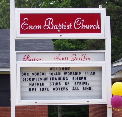
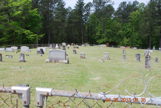
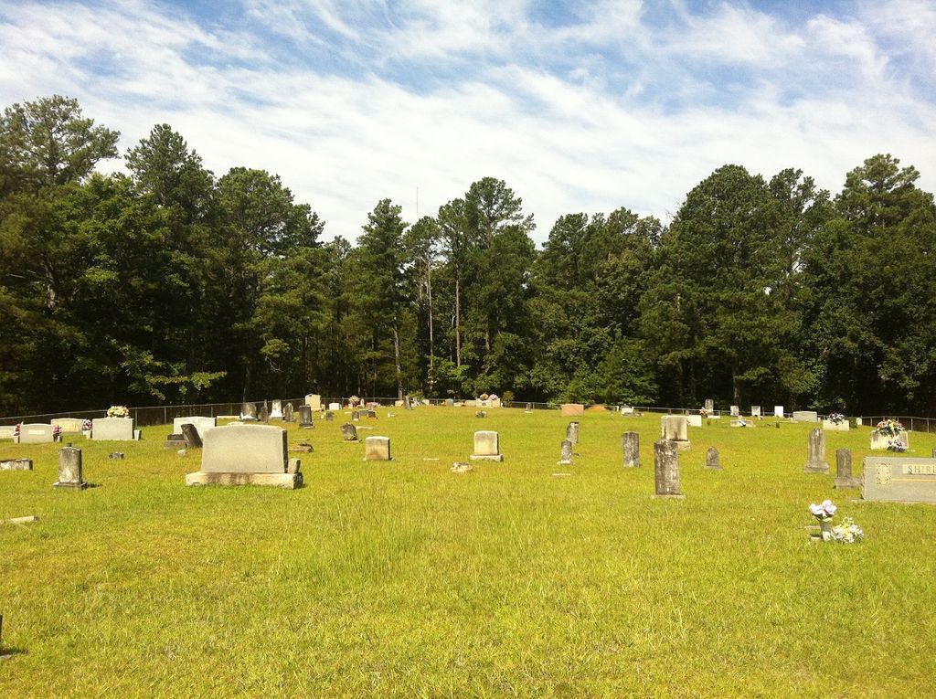
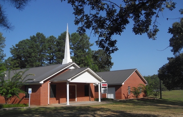
Enon Baptist Cemetery is located at Cairo, Clay County ,Mississippi ,USA.
-
Enon Baptist Cemetery cemetery's updated grave count on graveviews.com?
0 memorials
-
Where are the coordinates of the Enon Baptist Cemetery?
Latitude: 33.6961710
Longitude: -88.8663110
Nearby Cemetories:
1. Old Montpelier Cemetery
Clay County, USA
Coordinate: 33.6949997, -88.8996964
2. Rocky Hill Cemetery
Clay County, USA
Coordinate: 33.7322006, -88.8566971
3. Hopewell Missionary Baptist Church Cemetery
Cedar Bluff, Clay County, USA
Coordinate: 33.6579540, -88.8563310
4. Cairo Cumberland Presbyterian Church Cemetery
Clay County, USA
Coordinate: 33.6671660, -88.8979230
5. Saint Paul Cemetery
Clay County, USA
Coordinate: 33.7094002, -88.9143982
6. Palestine Cemetery
Montpelier, Clay County, USA
Coordinate: 33.7106018, -88.9207993
7. Palo Alto Cemetery
Palo Alto, Clay County, USA
Coordinate: 33.7089005, -88.8106003
8. Palo Alto Missionary Baptist Church Cemetery
Palo Alto, Clay County, USA
Coordinate: 33.6961021, -88.8060913
9. Chandler Cemetery
Clay County, USA
Coordinate: 33.6958008, -88.8050003
10. Saint Robertson Cemetery
Clay County, USA
Coordinate: 33.7442017, -88.8332977
11. Watkins Cemetery
Clay County, USA
Coordinate: 33.6436930, -88.8247460
12. Watkins-Stephens Cemetery
Griffith, Clay County, USA
Coordinate: 33.6433000, -88.8247000
13. Dexter Cemetery
Montpelier, Clay County, USA
Coordinate: 33.7631510, -88.8762470
14. Catholic Cemetery
Montpelier, Clay County, USA
Coordinate: 33.7064580, -88.9479520
15. Greene Family Cemetery
Palo Alto, Clay County, USA
Coordinate: 33.6446830, -88.8108360
16. Kilgore Cemetery
Whites, Clay County, USA
Coordinate: 33.7641960, -88.9019850
17. Mosley Cemetery
Clay County, USA
Coordinate: 33.6232986, -88.8416977
18. Yeates Chapel Cemetery
West Point, Clay County, USA
Coordinate: 33.6512770, -88.7903140
19. Abbott Cemetery
Abbott, Clay County, USA
Coordinate: 33.6741982, -88.7755966
20. Clark Chapel Cemetery
Beasley, Clay County, USA
Coordinate: 33.6448030, -88.9407320
21. Lower Prairie Creek Cemetery
Clay County, USA
Coordinate: 33.7150002, -88.9655991
22. Henryville Methodist Cemetery
Pheba, Clay County, USA
Coordinate: 33.6163368, -88.9111099
23. Hatchett Cemetery
Clay County, USA
Coordinate: 33.7835999, -88.8871994
24. Hebron Cemetery
Pheba, Clay County, USA
Coordinate: 33.6136340, -88.9068440