
| Memorials | : | 0 |
| Location | : | Clay County, USA |
| Coordinate | : | 33.6116982, -88.9049988 |
frequently asked questions (FAQ):
-
Where is Mount Zion Cemetery?
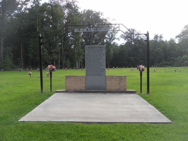
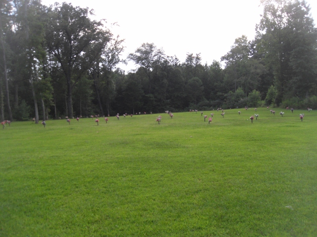
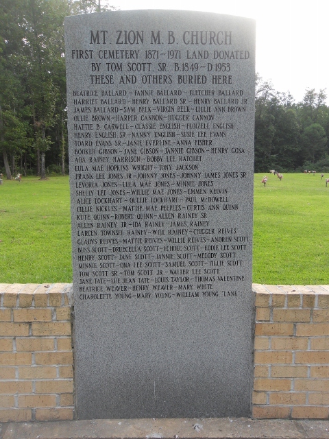
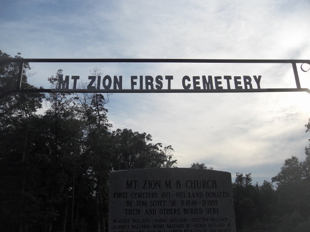
Mount Zion Cemetery is located at Clay County ,Mississippi ,USA.
-
Mount Zion Cemetery cemetery's updated grave count on graveviews.com?
0 memorials
-
Where are the coordinates of the Mount Zion Cemetery?
Latitude: 33.6116982
Longitude: -88.9049988
Nearby Cemetories:
1. Hebron Cemetery
Pheba, Clay County, USA
Coordinate: 33.6136340, -88.9068440
2. Methodist Cemetery
Clay County, USA
Coordinate: 33.6147003, -88.9105988
3. Henryville Methodist Cemetery
Pheba, Clay County, USA
Coordinate: 33.6163368, -88.9111099
4. Pheba Community Cemetery
Pheba, Clay County, USA
Coordinate: 33.5862510, -88.9396460
5. Pheba Cemetery
Pheba, Clay County, USA
Coordinate: 33.5856209, -88.9416809
6. Clark Chapel Cemetery
Beasley, Clay County, USA
Coordinate: 33.6448030, -88.9407320
7. Johnson Creek M.B. Church Cemetery
Beasley, Clay County, USA
Coordinate: 33.6191710, -88.9623300
8. Mosley Cemetery
Clay County, USA
Coordinate: 33.6232986, -88.8416977
9. Cedar Bluff Cumberland Presbyterian Cemetery
Cedar Bluff, Clay County, USA
Coordinate: 33.5931015, -88.8439026
10. Cairo Cumberland Presbyterian Church Cemetery
Clay County, USA
Coordinate: 33.6671660, -88.8979230
11. Hopewell Missionary Baptist Church Cemetery
Cedar Bluff, Clay County, USA
Coordinate: 33.6579540, -88.8563310
12. Cedar Bluff Methodist Cemetery
Cedar Bluff, Clay County, USA
Coordinate: 33.5893840, -88.8314800
13. Cedar Bluff M.B. Church Cemetery
Cedar Bluff, Clay County, USA
Coordinate: 33.5893800, -88.8314800
14. Sudduth-Bridges Cemetery
Bells, Oktibbeha County, USA
Coordinate: 33.5459722, -88.9259167
15. Bluff Creek Cemetery
Clay County, USA
Coordinate: 33.5959540, -88.9875670
16. Bell Schoolhouse Cemetery
Starkville, Oktibbeha County, USA
Coordinate: 33.5427170, -88.8841171
17. Pearsons Chapel Cemetery
Oktibbeha County, USA
Coordinate: 33.5416985, -88.8850021
18. Watkins-Stephens Cemetery
Griffith, Clay County, USA
Coordinate: 33.6433000, -88.8247000
19. Watkins Cemetery
Clay County, USA
Coordinate: 33.6436930, -88.8247460
20. Plair United Methodist Church Cemetery
Oktibbeha County, USA
Coordinate: 33.5422630, -88.8575670
21. Old Montpelier Cemetery
Clay County, USA
Coordinate: 33.6949997, -88.8996964
22. Greene Family Cemetery
Palo Alto, Clay County, USA
Coordinate: 33.6446830, -88.8108360
23. Enon Baptist Cemetery
Cairo, Clay County, USA
Coordinate: 33.6961710, -88.8663110
24. Saint Paul Cemetery
Starkville, Oktibbeha County, USA
Coordinate: 33.5279970, -88.8622260