| Memorials | : | 41 |
| Location | : | Calhan, El Paso County, USA |
| Coordinate | : | 39.0335236, -104.3128815 |
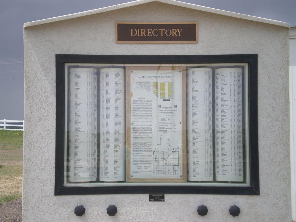
| Description | : | The cemetery is located on the west side of Hahn Road. The U.S. Geological Survey (USGS) Geographic Names Information System (GNIS) feature ID for the cemetery is 1834803 (Calhan Memorial Cemetery). Land for the Calhan Cemetery was deeded to the town in 1911 by Arthur Sinclair. A few stones with earlier dates have been moved there. George Haver deeded a tract of adjacent land to the south in 1918, which is sometimes known as the Haver Addition. Source - The History of Calhan and Vicinity 1888-1988 by Larry King, 1987. |
frequently asked questions (FAQ):
-
Where is Calhan Cemetery?
Calhan Cemetery is located at Hahn Road Calhan, El Paso County ,Colorado ,USA.
-
Calhan Cemetery cemetery's updated grave count on graveviews.com?
41 memorials
-
Where are the coordinates of the Calhan Cemetery?
Latitude: 39.0335236
Longitude: -104.3128815
Nearby Cemetories:
1. National Slovak Society Cemetery
Calhan, El Paso County, USA
Coordinate: 39.0703011, -104.3161011
2. Lenardt Cemetery
El Paso County, USA
Coordinate: 39.0900000, -104.3004000
3. Myers Cemetery
Calhan, El Paso County, USA
Coordinate: 38.9893990, -104.2613983
4. Scott Cemetery
Calhan, El Paso County, USA
Coordinate: 38.9980420, -104.4061970
5. Saint Michaels Cemetery
Calhan, El Paso County, USA
Coordinate: 39.1180500, -104.2928000
6. Saint Mary Cemetery
Calhan, El Paso County, USA
Coordinate: 39.1180500, -104.2924000
7. Peyton Cemetery
Peyton, El Paso County, USA
Coordinate: 39.0333710, -104.4878464
8. Ramah Cemetery
Ramah, El Paso County, USA
Coordinate: 39.1171913, -104.1629944
9. Sakala Cemetery
Elbert County, USA
Coordinate: 39.1716995, -104.2482986
10. Bijou Basin Cemetery
Elbert County, USA
Coordinate: 39.1352997, -104.4561005
11. Sproch Cemetery
Elbert County, USA
Coordinate: 39.1866989, -104.1977997
12. Flynn Cemetery
El Paso County, USA
Coordinate: 38.8962000, -104.5241000
13. Simla Cemetery
Simla, Elbert County, USA
Coordinate: 39.1443787, -104.0765610
14. Bluff Cemetery
Eastonville, El Paso County, USA
Coordinate: 39.0999985, -104.5849991
15. Eastonville Cemetery
Eastonville, El Paso County, USA
Coordinate: 39.0161018, -104.6061020
16. Kanza Cemetery
Elbert County, USA
Coordinate: 38.8828011, -104.0438995
17. Elbert Cemetery
Elbert, Elbert County, USA
Coordinate: 39.2291603, -104.5360870
18. Antioch Cemetery
Yoder, El Paso County, USA
Coordinate: 38.7818985, -104.2213974
19. Norton Cemetery
Elbert County, USA
Coordinate: 39.3022003, -104.2341995
20. James Cemetery
Elbert, Elbert County, USA
Coordinate: 39.1724892, -104.6196976
21. Black Forest Lutheran Church Columbarium
Black Forest, El Paso County, USA
Coordinate: 39.0118000, -104.6988000
22. Kiowa Old Cemetery
Kiowa, Elbert County, USA
Coordinate: 39.2962000, -104.5019000
23. Table Rock Cemetery
El Paso County, USA
Coordinate: 39.1182000, -104.6855000
24. Crescent Cemetery
El Paso County, USA
Coordinate: 38.7672005, -104.1100006


