
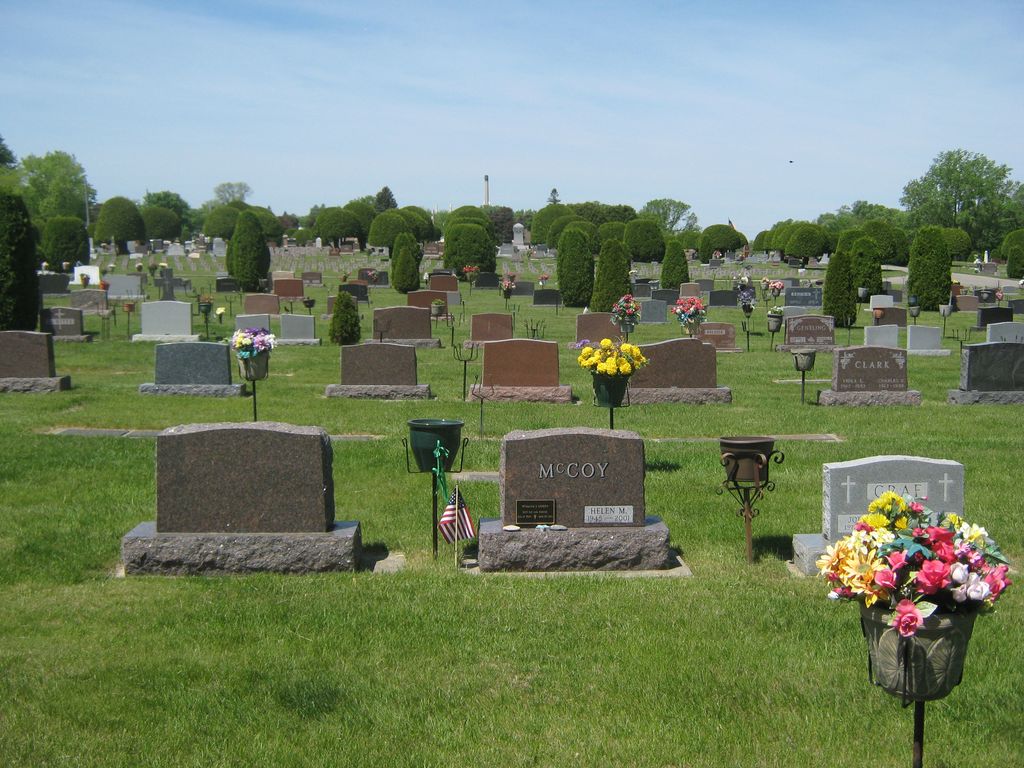
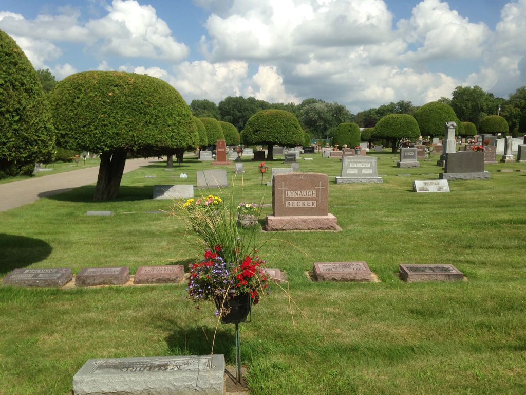
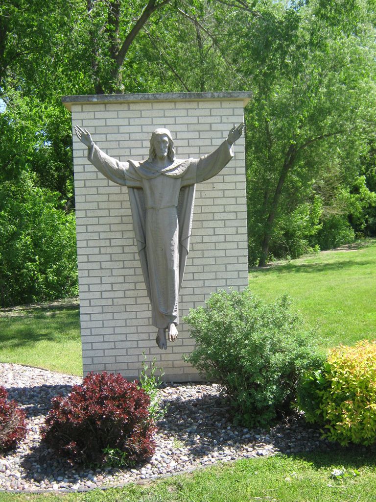
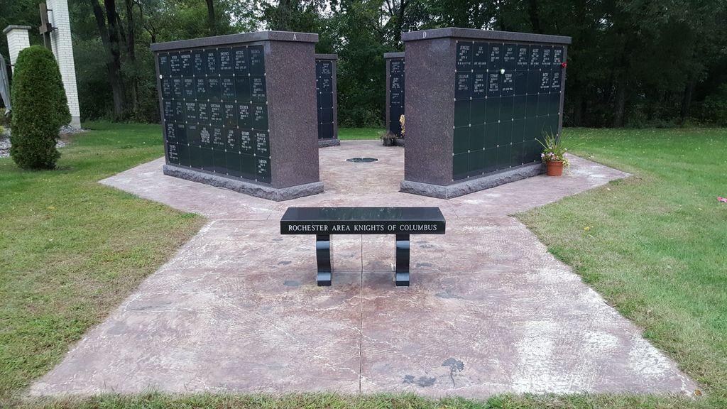
| Memorials | : | 36 |
| Location | : | Rochester, Olmsted County, USA |
| Coordinate | : | 44.0285988, -92.4468994 |
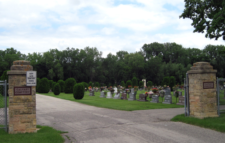
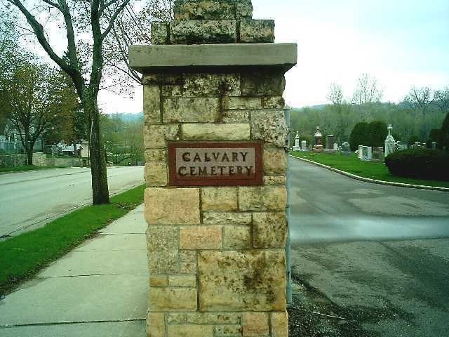
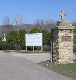
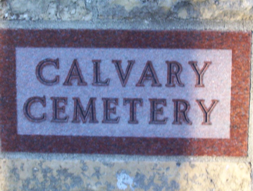
| Description | : | Formerly known as St. John’s Cemetery. The name was changed to Calvary Cemetery in 1940 |
frequently asked questions (FAQ):
-
Where is Calvary Cemetery?
Calvary Cemetery is located at 11th Ave. & 5th St. NE Rochester, Olmsted County ,Minnesota ,USA.
-
Calvary Cemetery cemetery's updated grave count on graveviews.com?
33 memorials
-
Where are the coordinates of the Calvary Cemetery?
Latitude: 44.0285988
Longitude: -92.4468994
Nearby Cemetories:
1. Oakwood Cemetery
Rochester, Olmsted County, USA
Coordinate: 44.0271988, -92.4558029
2. Rochester State Hospital Cemetery
Rochester, Olmsted County, USA
Coordinate: 44.0292700, -92.4377000
3. Rosemont Cemetery
Rochester, Olmsted County, USA
Coordinate: 44.0269880, -92.4369450
4. Bethel Lutheran Church Columbarium
Rochester, Olmsted County, USA
Coordinate: 44.0147580, -92.4583110
5. Calvary Episcopal Church Columbarium
Rochester, Olmsted County, USA
Coordinate: 44.0220450, -92.4676640
6. Zumbro Lutheran Church Columbarium
Rochester, Olmsted County, USA
Coordinate: 44.0165200, -92.4664500
7. First Presbyterian Church Columbarium
Rochester, Olmsted County, USA
Coordinate: 44.0201416, -92.4704132
8. Our Saviors Lutheran Church Columbarium
Rochester, Olmsted County, USA
Coordinate: 44.0448920, -92.4330100
9. Grandview Memorial Gardens
Rochester, Olmsted County, USA
Coordinate: 44.0050011, -92.4368973
10. Congregational Church Columbarium
Rochester, Olmsted County, USA
Coordinate: 44.0122900, -92.4857200
11. First Unitarian Universalist Memorial Garden
Rochester, Olmsted County, USA
Coordinate: 44.0140700, -92.4876100
12. Oakwood East Cemetery
Rochester, Olmsted County, USA
Coordinate: 44.0504990, -92.4079971
13. Saint Lukes Episcopal Church Columbarium
Rochester, Olmsted County, USA
Coordinate: 44.0453240, -92.4928450
14. Mount Olive Lutheran Church Columbarium
Rochester, Olmsted County, USA
Coordinate: 44.0540848, -92.4881973
15. Haverhill Cemetery
Olmsted County, USA
Coordinate: 44.0572014, -92.3692017
16. Boynton Cemetery
Ringe, Olmsted County, USA
Coordinate: 44.0916710, -92.4416733
17. Mayowood Cemetery
Rochester, Olmsted County, USA
Coordinate: 43.9909500, -92.5218800
18. Chester Cemetery
Chester, Olmsted County, USA
Coordinate: 44.0002785, -92.3458328
19. Pleasant Prairie Cemetery
Rochester, Olmsted County, USA
Coordinate: 44.1006012, -92.5139008
20. Fitch Cemetery
Ringe, Olmsted County, USA
Coordinate: 44.1074982, -92.3886032
21. Mount Hope Cemetery
Rochester, Olmsted County, USA
Coordinate: 44.0703011, -92.5783005
22. Saint Bridgets Catholic Church Cemetery
Simpson, Olmsted County, USA
Coordinate: 43.9230423, -92.4351883
23. Oakridge Farm Cemetery
Rochester, Olmsted County, USA
Coordinate: 43.9479480, -92.5435090
24. Marion Cemetery
Marion, Olmsted County, USA
Coordinate: 43.9480591, -92.3494415