
| Memorials | : | 0 |
| Location | : | Rochester, Olmsted County, USA |
| Coordinate | : | 44.0269880, -92.4369450 |
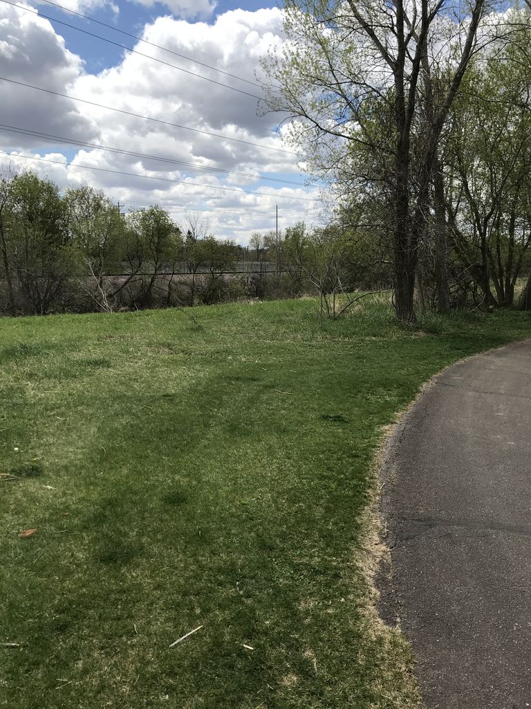
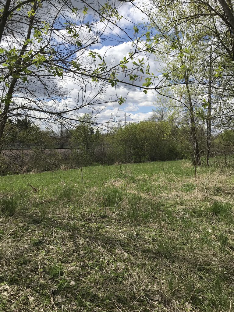
| Description | : | Rosemont Cemetery was the original cemetery used for patients of the Rochester State Hospital (originally called the Second Minnesota Hospital for the Insane until 1883). This cemetery was used from 1879 until 1887. The exact location of this cemetery is unknown. It is believed to be north of the Hospital, on the north side of the railroad tracks. That area is now wooded over. Because wooden markers were used at the time, no markers still exist today. A plot map of the cemetery does still exist. The cemetery was laid out north-to-south (approximately 110 ft x 50 ft) in 4 rows... Read More |
frequently asked questions (FAQ):
-
Where is Rosemont Cemetery?
Rosemont Cemetery is located at Quarry Hill Park Rochester, Olmsted County ,Minnesota , 55904USA.
-
Rosemont Cemetery cemetery's updated grave count on graveviews.com?
0 memorials
-
Where are the coordinates of the Rosemont Cemetery?
Latitude: 44.0269880
Longitude: -92.4369450
Nearby Cemetories:
1. Rochester State Hospital Cemetery
Rochester, Olmsted County, USA
Coordinate: 44.0292700, -92.4377000
2. Calvary Cemetery
Rochester, Olmsted County, USA
Coordinate: 44.0285988, -92.4468994
3. Oakwood Cemetery
Rochester, Olmsted County, USA
Coordinate: 44.0271988, -92.4558029
4. Our Saviors Lutheran Church Columbarium
Rochester, Olmsted County, USA
Coordinate: 44.0448920, -92.4330100
5. Bethel Lutheran Church Columbarium
Rochester, Olmsted County, USA
Coordinate: 44.0147580, -92.4583110
6. Grandview Memorial Gardens
Rochester, Olmsted County, USA
Coordinate: 44.0050011, -92.4368973
7. Calvary Episcopal Church Columbarium
Rochester, Olmsted County, USA
Coordinate: 44.0220450, -92.4676640
8. Zumbro Lutheran Church Columbarium
Rochester, Olmsted County, USA
Coordinate: 44.0165200, -92.4664500
9. First Presbyterian Church Columbarium
Rochester, Olmsted County, USA
Coordinate: 44.0201416, -92.4704132
10. Oakwood East Cemetery
Rochester, Olmsted County, USA
Coordinate: 44.0504990, -92.4079971
11. Congregational Church Columbarium
Rochester, Olmsted County, USA
Coordinate: 44.0122900, -92.4857200
12. First Unitarian Universalist Memorial Garden
Rochester, Olmsted County, USA
Coordinate: 44.0140700, -92.4876100
13. Saint Lukes Episcopal Church Columbarium
Rochester, Olmsted County, USA
Coordinate: 44.0453240, -92.4928450
14. Mount Olive Lutheran Church Columbarium
Rochester, Olmsted County, USA
Coordinate: 44.0540848, -92.4881973
15. Haverhill Cemetery
Olmsted County, USA
Coordinate: 44.0572014, -92.3692017
16. Boynton Cemetery
Ringe, Olmsted County, USA
Coordinate: 44.0916710, -92.4416733
17. Chester Cemetery
Chester, Olmsted County, USA
Coordinate: 44.0002785, -92.3458328
18. Mayowood Cemetery
Rochester, Olmsted County, USA
Coordinate: 43.9909500, -92.5218800
19. Fitch Cemetery
Ringe, Olmsted County, USA
Coordinate: 44.1074982, -92.3886032
20. Pleasant Prairie Cemetery
Rochester, Olmsted County, USA
Coordinate: 44.1006012, -92.5139008
21. Marion Cemetery
Marion, Olmsted County, USA
Coordinate: 43.9480591, -92.3494415
22. Saint Bridgets Catholic Church Cemetery
Simpson, Olmsted County, USA
Coordinate: 43.9230423, -92.4351883
23. Saint Johns Evangelical Lutheran Church Cemetery
Haverhill, Olmsted County, USA
Coordinate: 44.0930595, -92.3194427
24. Oakridge Farm Cemetery
Rochester, Olmsted County, USA
Coordinate: 43.9479480, -92.5435090