
| Memorials | : | 0 |
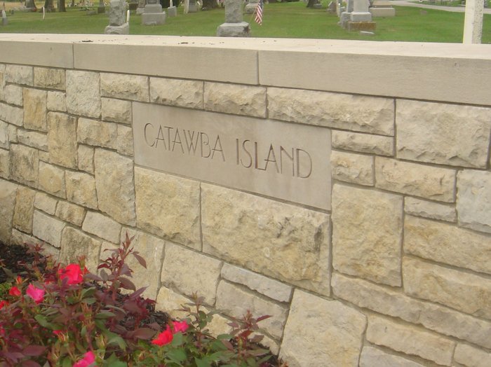
| Location | : | Catawba Island, Ottawa County, USA |
| Coordinate | : | 41.5569000, -82.8403015 |
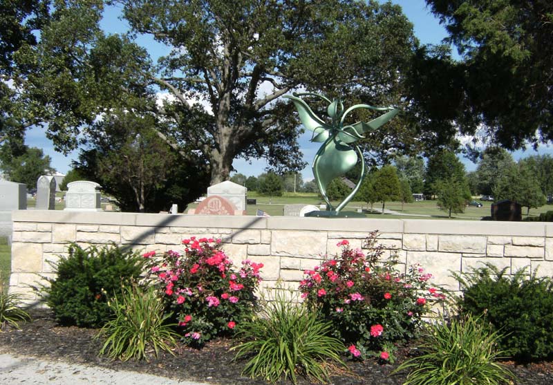
| Description | : | The cemetery is located on the north side of E Cemetery Road (Township Road 144) about 0.25 miles west of its intersection with NE Catawba Road. The cemetery is registered with the Ohio Division of Real Estate and Professional Licensing (ODRE) as Catawba Island Cemetery with registration license number CGR.0000980327. The U.S. Geological Survey (USGS) Geographic Names Information System (GNIS) feature ID for the cemetery is 1038875 (Catawba Island Cemetery / Catawba Cemetery). |
frequently asked questions (FAQ):
-
Where is Catawba Island Cemetery?
Catawba Island Cemetery is located at E Cemetery Road (Township Road 144) Catawba Island, Ottawa County ,Ohio , 43452USA.
-
Catawba Island Cemetery cemetery's updated grave count on graveviews.com?
0 memorials
-
Where are the coordinates of the Catawba Island Cemetery?
Latitude: 41.5569000
Longitude: -82.8403015
Nearby Cemetories:
1. K'Burg Family Cemetery
Catawba Island Township, Ottawa County, USA
Coordinate: 41.5589400, -82.8463000
2. Lockwood Cemetery
Lakeside, Ottawa County, USA
Coordinate: 41.5435140, -82.8161560
3. Saint Pauls Lutheran Church Cemetery
Lakeside, Ottawa County, USA
Coordinate: 41.5242200, -82.8049100
4. Shook Cemetery
Portage Township, Ottawa County, USA
Coordinate: 41.5214005, -82.8758011
5. Sackett Cemetery
Danbury, Ottawa County, USA
Coordinate: 41.5303001, -82.7872009
6. Dwelle Cemetery
Port Clinton, Ottawa County, USA
Coordinate: 41.5069008, -82.8563995
7. Jamison Cemetery
Danbury, Ottawa County, USA
Coordinate: 41.5050060, -82.8180740
8. Christy Chapel Cemetery
Gypsum, Ottawa County, USA
Coordinate: 41.5085983, -82.8861008
9. Kelly Cemetery
Danbury, Ottawa County, USA
Coordinate: 41.5245720, -82.7705950
10. Tynan Burial Plot
Portage Township, Ottawa County, USA
Coordinate: 41.4909000, -82.8835000
11. Chautauqua Park Memorial Garden
Lakeside, Ottawa County, USA
Coordinate: 41.5412410, -82.7418240
12. Maple Leaf Cemetery
Put-in-Bay, Ottawa County, USA
Coordinate: 41.6324997, -82.8368988
13. Holy Assumption Orthodox Cemetery
Marblehead, Ottawa County, USA
Coordinate: 41.5361530, -82.7389380
14. Saint Joseph's Catholic Cemetery
Marblehead, Ottawa County, USA
Coordinate: 41.5344009, -82.7382965
15. Hartshorn Cemetery
Danbury, Ottawa County, USA
Coordinate: 41.5144440, -82.7499530
16. Russian Cemetery
Marblehead, Ottawa County, USA
Coordinate: 41.5335999, -82.7371979
17. War of 1812 Battle Site
Mineyahta-on-the Bay, Ottawa County, USA
Coordinate: 41.5140350, -82.7438530
18. Wolcott Cemetery
Marblehead, Ottawa County, USA
Coordinate: 41.5177994, -82.7403030
19. Saint Thomas Episcopal Columbarium
Port Clinton, Ottawa County, USA
Coordinate: 41.5118670, -82.9386350
20. Crown Hill Cemetery
Put-in-Bay, Ottawa County, USA
Coordinate: 41.6436005, -82.8349991
21. Saint Mary's Byzantine Catholic Cemetery
Marblehead, Ottawa County, USA
Coordinate: 41.5409012, -82.7223969
22. Clemons Cemetery
Marblehead, Ottawa County, USA
Coordinate: 41.5409012, -82.7213974
23. Lakeview Cemetery
Port Clinton, Ottawa County, USA
Coordinate: 41.5107994, -82.9511032
24. Perrys Victory and International Peace Memorial
Put-in-Bay, Ottawa County, USA
Coordinate: 41.6541240, -82.8113830