
| Memorials | : | 1 |
| Location | : | Marblehead, Ottawa County, USA |
| Phone | : | (419) 798-4177 |
| Website | : | stjosephmarblehead.org |
| Coordinate | : | 41.5344009, -82.7382965 |
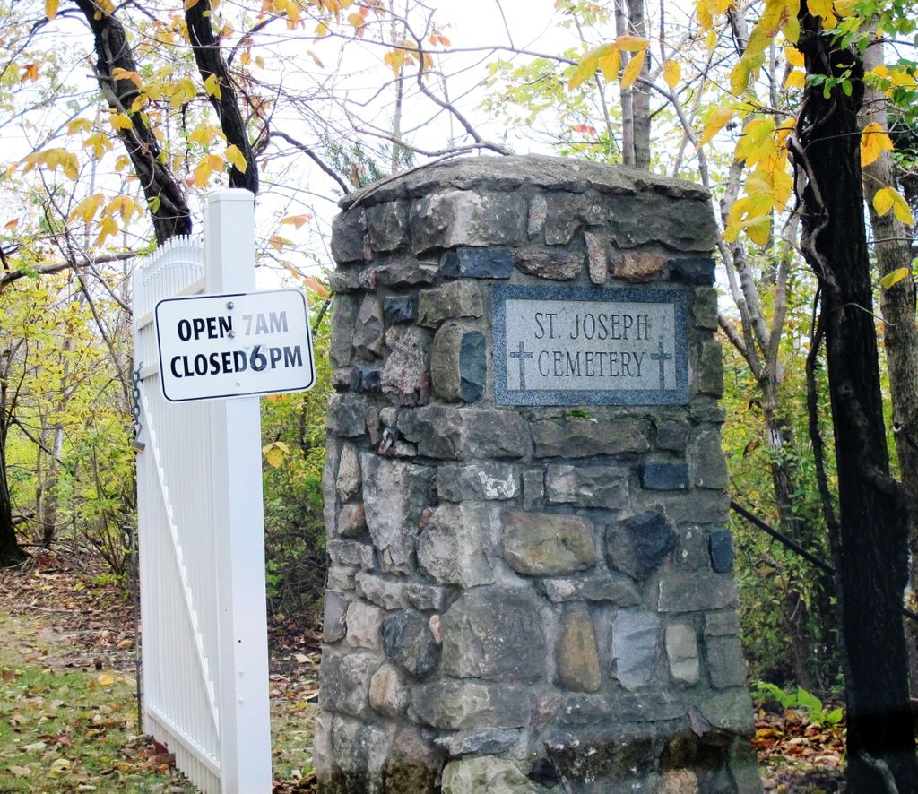
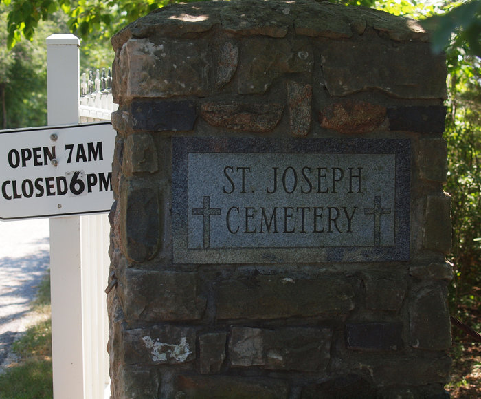
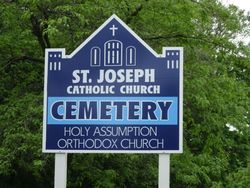
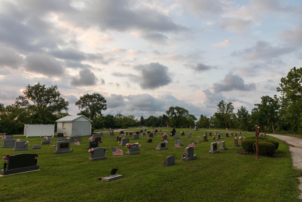
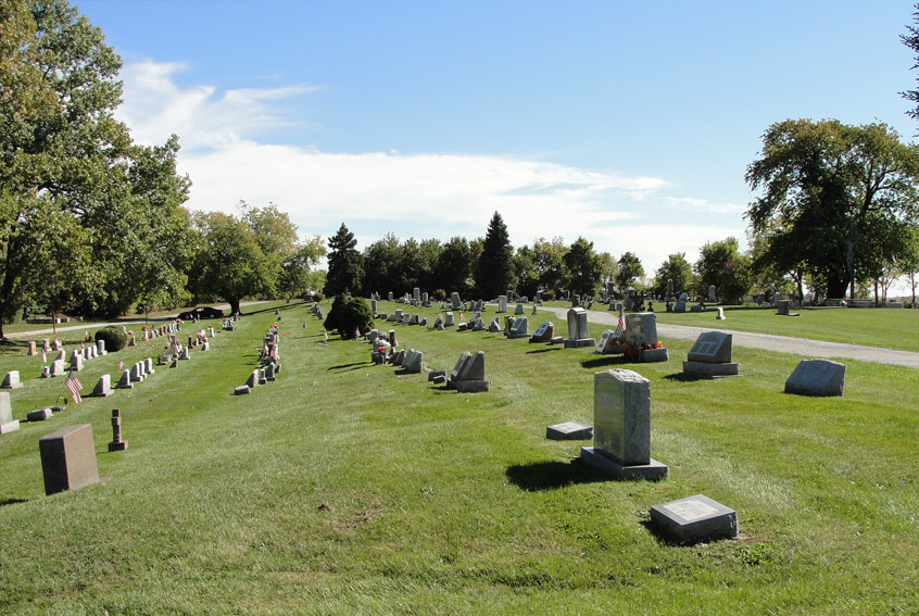
| Description | : | The cemetery is located at the south end of Two Cemeteries Road about 0.3 miles south of its intersection with Ohio State Route 163. The cemetery is adjacent to the Holy Assumption Orthodox Cemetery. This is the parish cemetery of: Saint Joseph Church 822 Barclay Street Marblehead, Ohio 43440 (419) 798-4177 The cemetery is located in Danbury Township, Ottawa County, Ohio, and is # 9191 (Saint Josephs Roman Catholic Cemetery / Saint Josephs Cemetery) in “Ohio Cemeteries 1803-2003”, compiled by the Ohio Genealogical Society. The cemetery is registered with the Ohio Division of Real Estate and Professional Licensing... Read More |
frequently asked questions (FAQ):
-
Where is Saint Joseph's Catholic Cemetery?
Saint Joseph's Catholic Cemetery is located at Two Cemeteries Road Marblehead, Ottawa County ,Ohio , 43449USA.
-
Saint Joseph's Catholic Cemetery cemetery's updated grave count on graveviews.com?
1 memorials
-
Where are the coordinates of the Saint Joseph's Catholic Cemetery?
Latitude: 41.5344009
Longitude: -82.7382965
Nearby Cemetories:
1. Russian Cemetery
Marblehead, Ottawa County, USA
Coordinate: 41.5335999, -82.7371979
2. Holy Assumption Orthodox Cemetery
Marblehead, Ottawa County, USA
Coordinate: 41.5361530, -82.7389380
3. Chautauqua Park Memorial Garden
Lakeside, Ottawa County, USA
Coordinate: 41.5412410, -82.7418240
4. Saint Mary's Byzantine Catholic Cemetery
Marblehead, Ottawa County, USA
Coordinate: 41.5409012, -82.7223969
5. Clemons Cemetery
Marblehead, Ottawa County, USA
Coordinate: 41.5409012, -82.7213974
6. Wolcott Cemetery
Marblehead, Ottawa County, USA
Coordinate: 41.5177994, -82.7403030
7. War of 1812 Battle Site
Mineyahta-on-the Bay, Ottawa County, USA
Coordinate: 41.5140350, -82.7438530
8. Hartshorn Cemetery
Danbury, Ottawa County, USA
Coordinate: 41.5144440, -82.7499530
9. Kelly Cemetery
Danbury, Ottawa County, USA
Coordinate: 41.5245720, -82.7705950
10. Johnson's Island Confederate Cemetery
Marblehead, Ottawa County, USA
Coordinate: 41.5003014, -82.7300034
11. Sackett Cemetery
Danbury, Ottawa County, USA
Coordinate: 41.5303001, -82.7872009
12. Saint Pauls Lutheran Church Cemetery
Lakeside, Ottawa County, USA
Coordinate: 41.5242200, -82.8049100
13. Lockwood Cemetery
Lakeside, Ottawa County, USA
Coordinate: 41.5435140, -82.8161560
14. Jamison Cemetery
Danbury, Ottawa County, USA
Coordinate: 41.5050060, -82.8180740
15. Kelleys Island Cemetery
Kelleys Island, Erie County, USA
Coordinate: 41.6096410, -82.7075150
16. Catawba Island Cemetery
Catawba Island, Ottawa County, USA
Coordinate: 41.5569000, -82.8403015
17. First Cemetery (Defunct)
Sandusky, Erie County, USA
Coordinate: 41.4543770, -82.7216040
18. Grace Episcopal Church Columbarium
Sandusky, Erie County, USA
Coordinate: 41.4547630, -82.7093940
19. K'Burg Family Cemetery
Catawba Island Township, Ottawa County, USA
Coordinate: 41.5589400, -82.8463000
20. Cholera Cemetery
Sandusky, Erie County, USA
Coordinate: 41.4496660, -82.7252970
21. Saint Marys Cemetery
Sandusky, Erie County, USA
Coordinate: 41.4425011, -82.7285995
22. Dwelle Cemetery
Port Clinton, Ottawa County, USA
Coordinate: 41.5069008, -82.8563995
23. Saint Joseph's Cemetery
Sandusky, Erie County, USA
Coordinate: 41.4420800, -82.7259500
24. Calvary Cemetery
Sandusky, Erie County, USA
Coordinate: 41.4383011, -82.7339020