
| Memorials | : | 0 |
| Location | : | Portage Township, Ottawa County, USA |
| Coordinate | : | 41.5214005, -82.8758011 |
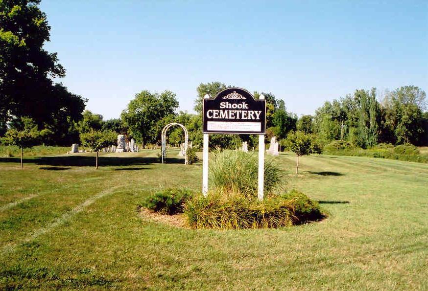
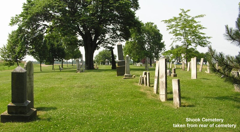
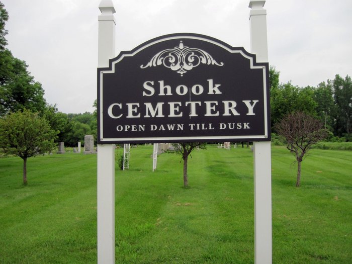
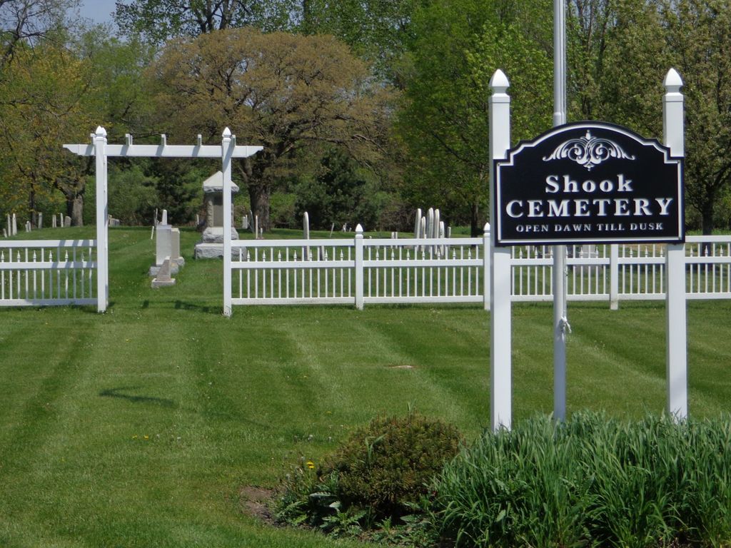
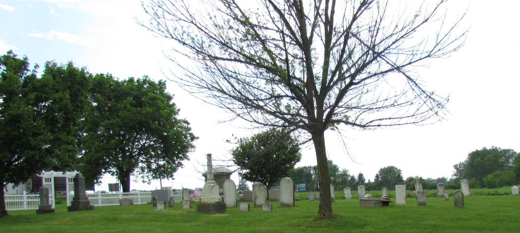
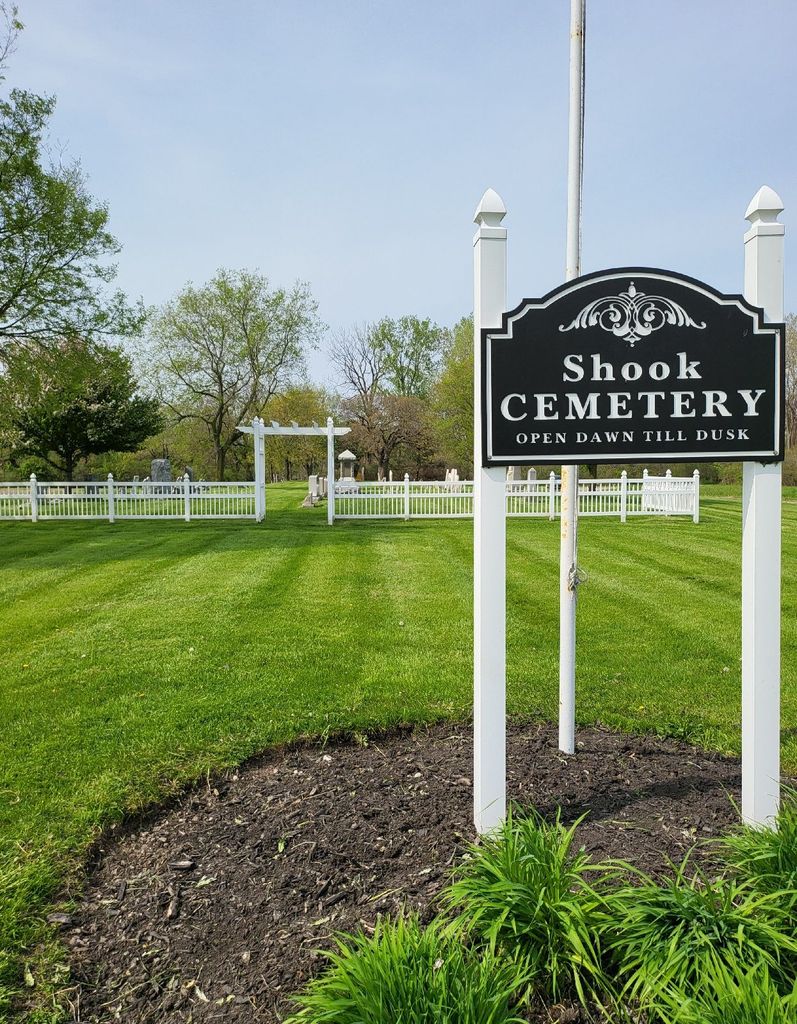
| Description | : | The cemetery is located on the north side of Ohio State Route 163 about 0.9 miles west of its intersection with NE Catawba Road (Ohio State Route 53). The cemetery is located in the Portage Township, Ottawa County, Ohio, and is # 9202 (Shook Cemetery) in “Ohio Cemeteries 1803-2003”, compiled by the Ohio Genealogical Society. The cemetery is registered with the Ohio Division of Real Estate and Professional Licensing (ODRE) as Shook Cemetery with registration license number CGR.0000981356. The U.S. Geological Survey (USGS) Geographic Names Information System (GNIS) feature ID for the cemetery is 1046237 (Shook Cemetery). |
frequently asked questions (FAQ):
-
Where is Shook Cemetery?
Shook Cemetery is located at 2501 Ohio State Route 163 Portage Township, Ottawa County ,Ohio , 43452USA.
-
Shook Cemetery cemetery's updated grave count on graveviews.com?
0 memorials
-
Where are the coordinates of the Shook Cemetery?
Latitude: 41.5214005
Longitude: -82.8758011
Nearby Cemetories:
1. Christy Chapel Cemetery
Gypsum, Ottawa County, USA
Coordinate: 41.5085983, -82.8861008
2. Dwelle Cemetery
Port Clinton, Ottawa County, USA
Coordinate: 41.5069008, -82.8563995
3. Tynan Burial Plot
Portage Township, Ottawa County, USA
Coordinate: 41.4909000, -82.8835000
4. K'Burg Family Cemetery
Catawba Island Township, Ottawa County, USA
Coordinate: 41.5589400, -82.8463000
5. Catawba Island Cemetery
Catawba Island, Ottawa County, USA
Coordinate: 41.5569000, -82.8403015
6. Jamison Cemetery
Danbury, Ottawa County, USA
Coordinate: 41.5050060, -82.8180740
7. Saint Thomas Episcopal Columbarium
Port Clinton, Ottawa County, USA
Coordinate: 41.5118670, -82.9386350
8. Lockwood Cemetery
Lakeside, Ottawa County, USA
Coordinate: 41.5435140, -82.8161560
9. Saint Pauls Lutheran Church Cemetery
Lakeside, Ottawa County, USA
Coordinate: 41.5242200, -82.8049100
10. Lakeview Cemetery
Port Clinton, Ottawa County, USA
Coordinate: 41.5107994, -82.9511032
11. Riverview Cemetery
Port Clinton, Ottawa County, USA
Coordinate: 41.5097008, -82.9599991
12. Sackett Cemetery
Danbury, Ottawa County, USA
Coordinate: 41.5303001, -82.7872009
13. Kelly Cemetery
Danbury, Ottawa County, USA
Coordinate: 41.5245720, -82.7705950
14. Hartshorn Cemetery
Danbury, Ottawa County, USA
Coordinate: 41.5144440, -82.7499530
15. War of 1812 Battle Site
Mineyahta-on-the Bay, Ottawa County, USA
Coordinate: 41.5140350, -82.7438530
16. Wolcott Cemetery
Marblehead, Ottawa County, USA
Coordinate: 41.5177994, -82.7403030
17. Chautauqua Park Memorial Garden
Lakeside, Ottawa County, USA
Coordinate: 41.5412410, -82.7418240
18. Holy Assumption Orthodox Cemetery
Marblehead, Ottawa County, USA
Coordinate: 41.5361530, -82.7389380
19. Saint Joseph's Catholic Cemetery
Marblehead, Ottawa County, USA
Coordinate: 41.5344009, -82.7382965
20. Russian Cemetery
Marblehead, Ottawa County, USA
Coordinate: 41.5335999, -82.7371979
21. Venice Cemetery
Margaretta Township, Erie County, USA
Coordinate: 41.4413690, -82.7829920
22. Camp Perry Memorial
Port Clinton, Ottawa County, USA
Coordinate: 41.5437850, -83.0193580
23. Johnson's Island Confederate Cemetery
Marblehead, Ottawa County, USA
Coordinate: 41.5003014, -82.7300034
24. Maple Leaf Cemetery
Put-in-Bay, Ottawa County, USA
Coordinate: 41.6324997, -82.8368988