
| Memorials | : | 0 |
| Location | : | Sugar Land, Fort Bend County, USA |
| Coordinate | : | 29.6044006, -95.6014023 |
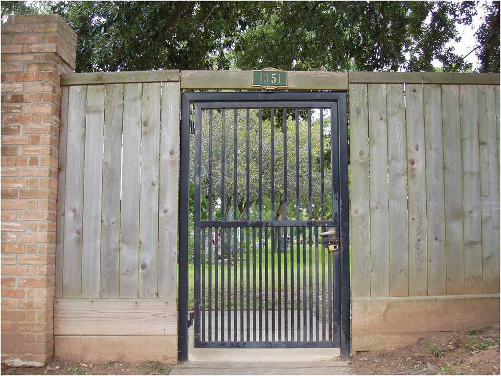
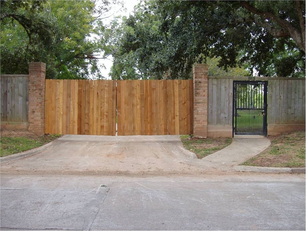
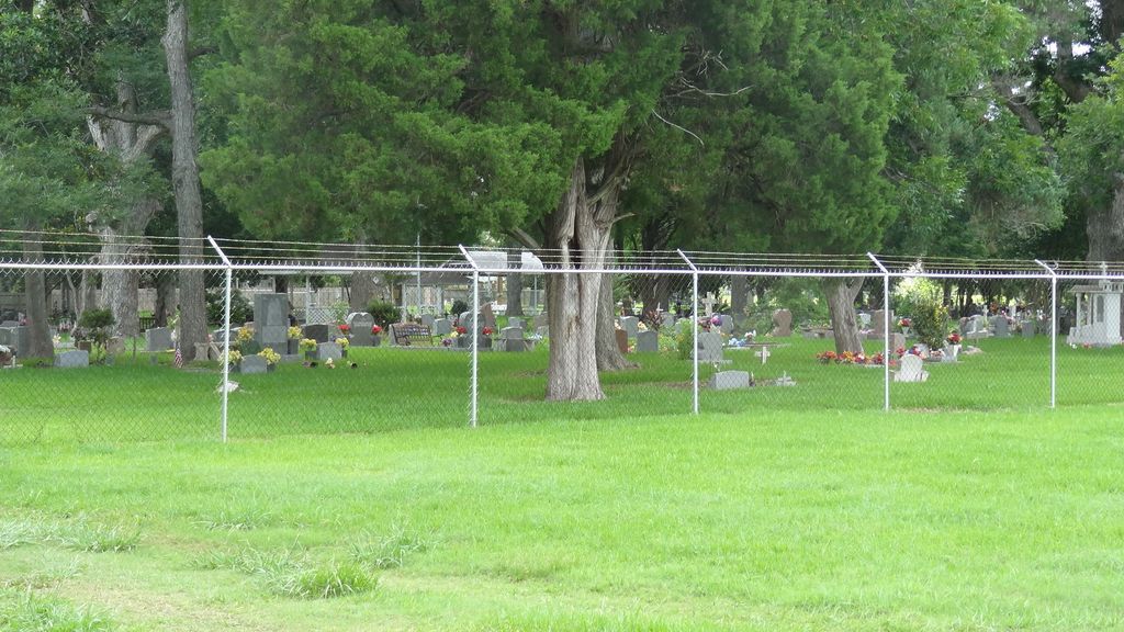
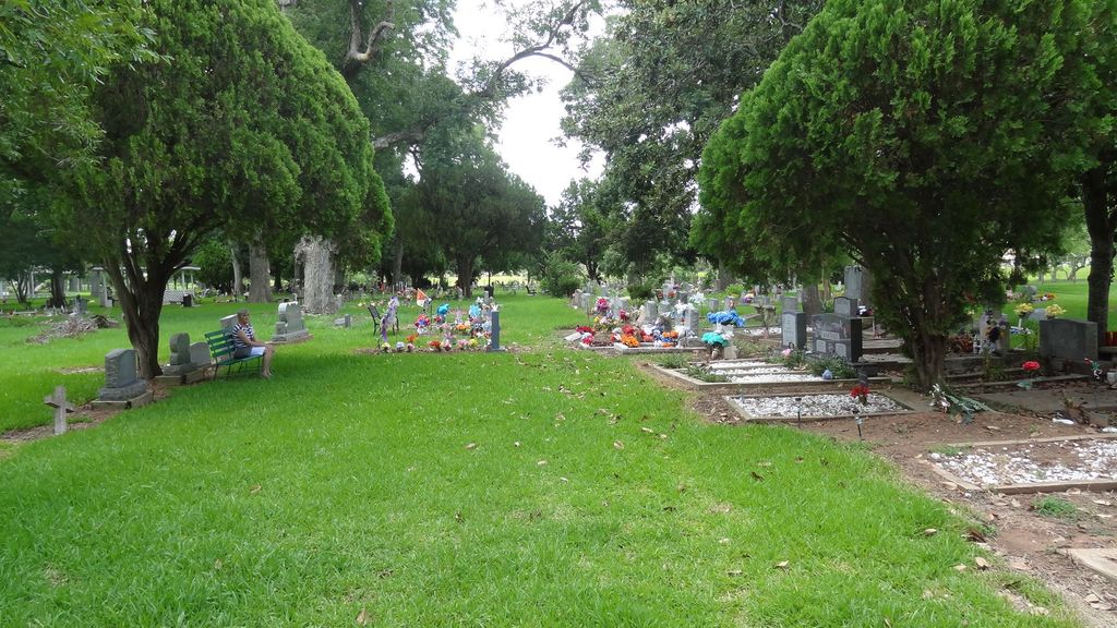
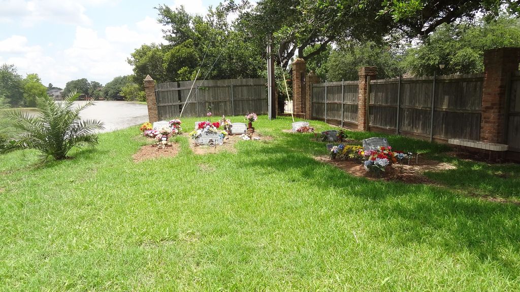
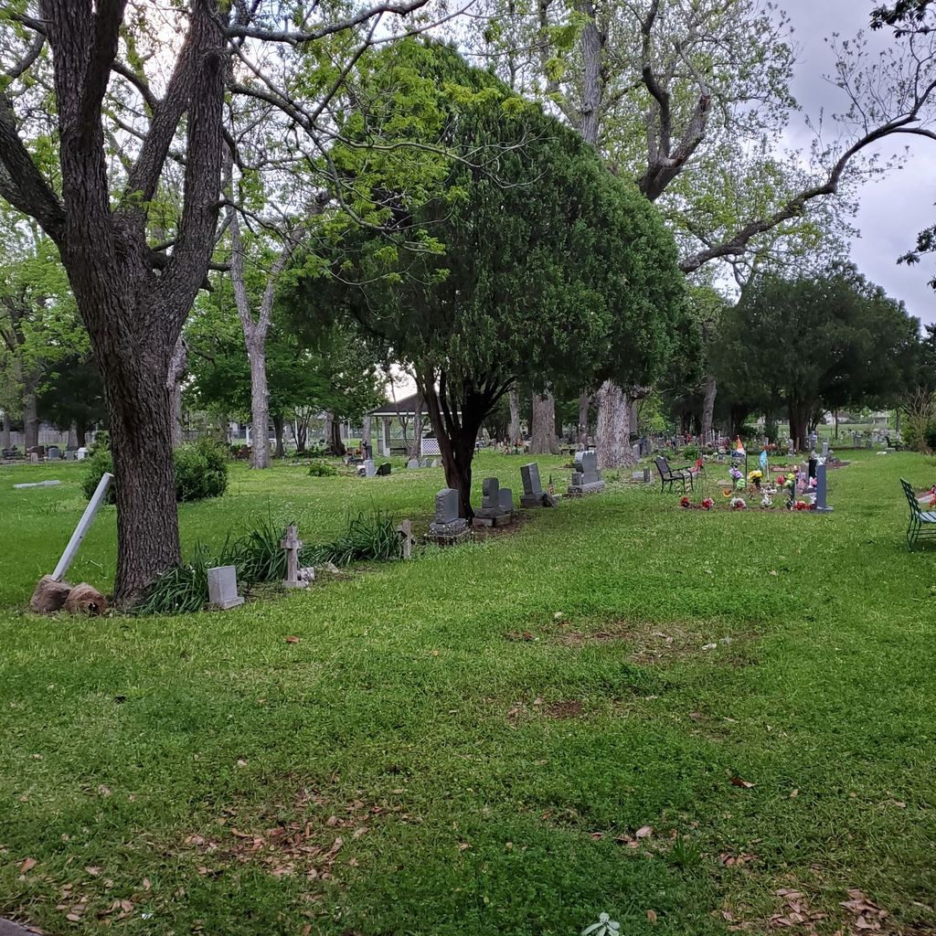
| Description | : | State No: FB-CO18 This is a Private Hispanic Cemtery. Original deed stated: must have been born in Sugar Land or Hispanic to be buried in this cemetery. Now restrictions: must have been born in Sugar Land or worked fields as a farmer or kin to someone already buried here. In 1918 Imperial Sugar gave 2 acres and allowed Mexican-Americans who were farming for the company to bury their people in this area. Later deeded to Dioceses for many years & eventually named San Isidro (for the laborer's saint) Cemetery Association Corp. Number of known burials: 690 Earliest known burial: 1920 |
frequently asked questions (FAQ):
-
Where is Cementerio San Isidro?
Cementerio San Isidro is located at Sugar Land, Fort Bend County ,Texas ,USA.
-
Cementerio San Isidro cemetery's updated grave count on graveviews.com?
0 memorials
-
Where are the coordinates of the Cementerio San Isidro?
Latitude: 29.6044006
Longitude: -95.6014023

Nearby Cemetories:
1. William J. Stafford Cemetery
Stafford, Fort Bend County, USA
Coordinate: 29.6059100, -95.5861300
2. First United Methodist Church Columbarium
Missouri City, Fort Bend County, USA
Coordinate: 29.6017620, -95.5653030
3. Frost Plantation Cemetery
Missouri City, Fort Bend County, USA
Coordinate: 29.5814120, -95.5731770
4. Bullhead Camp Cemetery
Sugar Land, Fort Bend County, USA
Coordinate: 29.6062060, -95.6490625
5. New Hope Cemetery
Stafford, Fort Bend County, USA
Coordinate: 29.6000004, -95.5532990
6. Packer Family Cemetery
Stafford, Fort Bend County, USA
Coordinate: 29.5976293, -95.5528472
7. Craven Cemetery
Stafford, Fort Bend County, USA
Coordinate: 29.6240997, -95.5510025
8. Imperial Prison Farm Cemetery
Sugar Land, Fort Bend County, USA
Coordinate: 29.6050850, -95.6574230
9. Hodges Bend Cemetery
Fort Bend County, USA
Coordinate: 29.6406900, -95.6624200
10. Watkins Cemetery
New Territory, Fort Bend County, USA
Coordinate: 29.5860600, -95.6781500
11. Mount Olive Baptist Church Cemetery
Sugar Land, Fort Bend County, USA
Coordinate: 29.5373900, -95.5727800
12. New Home Cemetery
Sugar Land, Fort Bend County, USA
Coordinate: 29.6243992, -95.6817017
13. Thompsons Chapel Cemetery
Fort Bend County, USA
Coordinate: 29.5905040, -95.6867550
14. Mount Pleasant Baptist Church Cemetery
Thompsons, Fort Bend County, USA
Coordinate: 29.5268400, -95.6243400
15. Dewalt Cemetery
Dewalt, Fort Bend County, USA
Coordinate: 29.5519009, -95.5280991
16. Dickson Cemetery
Sugar Land, Fort Bend County, USA
Coordinate: 29.5573980, -95.6891050
17. Pickens Cemetery
Greatwood, Fort Bend County, USA
Coordinate: 29.5430830, -95.6843250
18. Sansberry Cemetery
Richmond, Fort Bend County, USA
Coordinate: 29.5467400, -95.6981700
19. Pleasant Green Cemetery
Fort Bend County, USA
Coordinate: 29.6566000, -95.7070000
20. Mount Pilgrim Baptist Church Cemetery
Thompsons, Fort Bend County, USA
Coordinate: 29.4980000, -95.5909200
21. Watts Cemetery
Missouri City, Fort Bend County, USA
Coordinate: 29.5266600, -95.5158230
22. Waters Burial Site
Sienna Plantation, Fort Bend County, USA
Coordinate: 29.4981417, -95.5523099
23. Y U Jones Cemetery
Richmond, Fort Bend County, USA
Coordinate: 29.4833000, -95.6114330
24. Kuykendall Cemetery
Richmond, Fort Bend County, USA
Coordinate: 29.5440830, -95.7230000