
| Memorials | : | 0 |
| Location | : | Stafford, Fort Bend County, USA |
| Coordinate | : | 29.5976293, -95.5528472 |
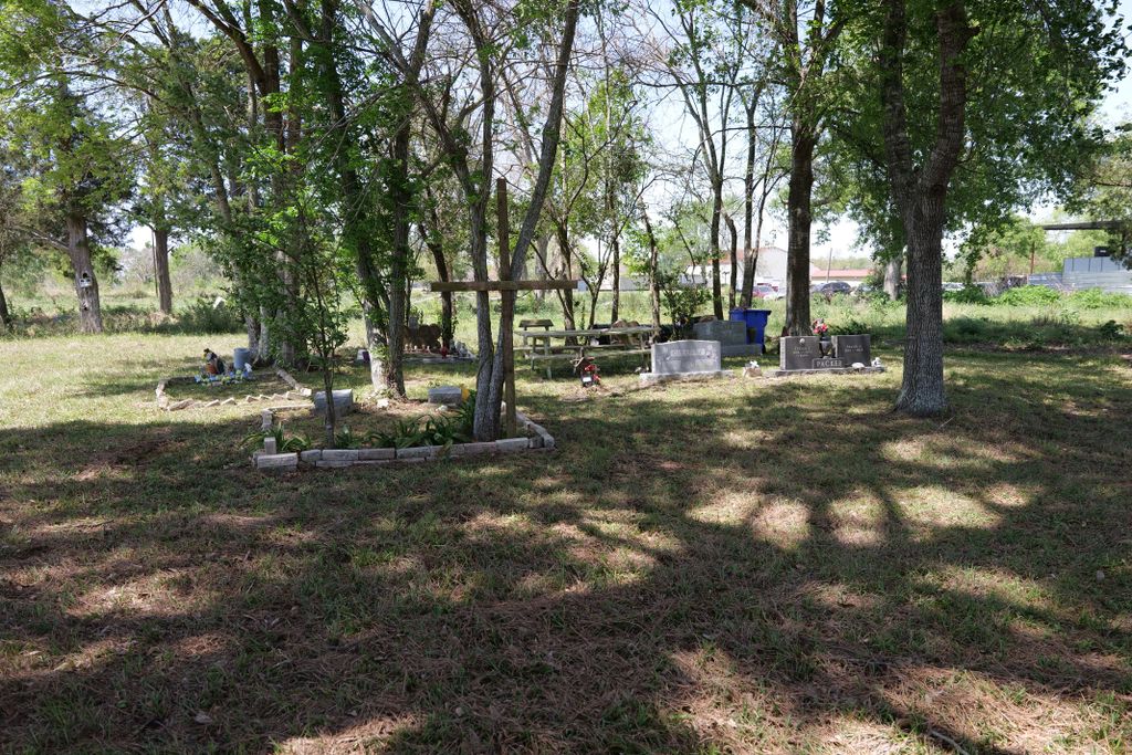
| Description | : | The cemetery status is active. The cemetery is not affiliated with any organizations and has no primary ethnicity. The size of the cemetery is 2.63 acres. The number of known burials is 23 and the date of the earliest burial is 13 April 1909. |
frequently asked questions (FAQ):
-
Where is Packer Family Cemetery?
Packer Family Cemetery is located at Packer Ln., Stafford, Texas Stafford, Fort Bend County ,Texas , 77477USA.
-
Packer Family Cemetery cemetery's updated grave count on graveviews.com?
0 memorials
-
Where are the coordinates of the Packer Family Cemetery?
Latitude: 29.5976293
Longitude: -95.5528472
Nearby Cemetories:
1. New Hope Cemetery
Stafford, Fort Bend County, USA
Coordinate: 29.6000004, -95.5532990
2. First United Methodist Church Columbarium
Missouri City, Fort Bend County, USA
Coordinate: 29.6017620, -95.5653030
3. Frost Plantation Cemetery
Missouri City, Fort Bend County, USA
Coordinate: 29.5814120, -95.5731770
4. Craven Cemetery
Stafford, Fort Bend County, USA
Coordinate: 29.6240997, -95.5510025
5. William J. Stafford Cemetery
Stafford, Fort Bend County, USA
Coordinate: 29.6059100, -95.5861300
6. Cementerio San Isidro
Sugar Land, Fort Bend County, USA
Coordinate: 29.6044006, -95.6014023
7. Dewalt Cemetery
Dewalt, Fort Bend County, USA
Coordinate: 29.5519009, -95.5280991
8. Mount Olive Baptist Church Cemetery
Sugar Land, Fort Bend County, USA
Coordinate: 29.5373900, -95.5727800
9. Watts Cemetery
Missouri City, Fort Bend County, USA
Coordinate: 29.5266600, -95.5158230
10. Bullhead Camp Cemetery
Sugar Land, Fort Bend County, USA
Coordinate: 29.6062060, -95.6490625
11. Imperial Prison Farm Cemetery
Sugar Land, Fort Bend County, USA
Coordinate: 29.6050850, -95.6574230
12. Mount Pleasant Baptist Church Cemetery
Thompsons, Fort Bend County, USA
Coordinate: 29.5268400, -95.6243400
13. Waters Burial Site
Sienna Plantation, Fort Bend County, USA
Coordinate: 29.4981417, -95.5523099
14. Hodges Bend Cemetery
Fort Bend County, USA
Coordinate: 29.6406900, -95.6624200
15. Mount Pilgrim Baptist Church Cemetery
Thompsons, Fort Bend County, USA
Coordinate: 29.4980000, -95.5909200
16. Watkins Cemetery
New Territory, Fort Bend County, USA
Coordinate: 29.5860600, -95.6781500
17. Arcola-Fresno Cemetery
Fresno, Fort Bend County, USA
Coordinate: 29.5244007, -95.4533005
18. New Home Cemetery
Sugar Land, Fort Bend County, USA
Coordinate: 29.6243992, -95.6817017
19. Claude J Broussard Family Cemetery
Duke, Fort Bend County, USA
Coordinate: 29.4941330, -95.4939500
20. Duke Cemetery
Duke, Fort Bend County, USA
Coordinate: 29.4939400, -95.4939200
21. Thompsons Chapel Cemetery
Fort Bend County, USA
Coordinate: 29.5905040, -95.6867550
22. Edwards Cemetery
Thompsons, Fort Bend County, USA
Coordinate: 29.4814000, -95.5854670
23. Dickson Cemetery
Sugar Land, Fort Bend County, USA
Coordinate: 29.5573980, -95.6891050
24. Y U Jones Cemetery
Richmond, Fort Bend County, USA
Coordinate: 29.4833000, -95.6114330