| Memorials | : | 0 |
| Location | : | Sugar Land, Fort Bend County, USA |
| Coordinate | : | 29.6050850, -95.6574230 |
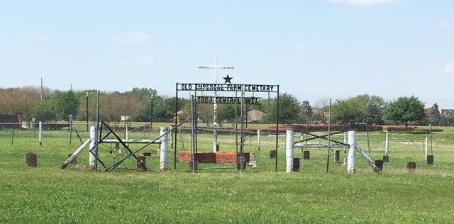
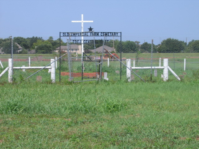
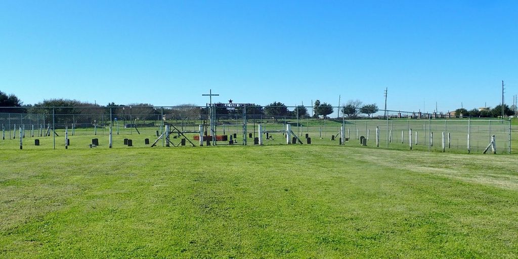
| Description | : | The Old Imperial State Farm Cemetery, located on the south side of US Highway 90A near Sugarland, Texas has graves of deceased prisoners. The cemetery has at least 33 graves, with the earliest dated from 1912. Three graves are post dated the 1930s. The Imperial State Prison Farm was a Texas Department of Criminal Justice (TDCJ) men's prison. It was one of the first penal institutions owned by the State of Texas and opened in 1909 on the Imperial Sugar plantation. In 1930 the facility was renamed the Central State Prison Farm FROM: Texas Department of Criminal Justice. Turner Publishing Company,... Read More |
frequently asked questions (FAQ):
-
Where is Imperial Prison Farm Cemetery?
Imperial Prison Farm Cemetery is located at Sugar Land, Fort Bend County ,Texas ,USA.
-
Imperial Prison Farm Cemetery cemetery's updated grave count on graveviews.com?
0 memorials
-
Where are the coordinates of the Imperial Prison Farm Cemetery?
Latitude: 29.6050850
Longitude: -95.6574230
Nearby Cemetories:
1. Bullhead Camp Cemetery
Sugar Land, Fort Bend County, USA
Coordinate: 29.6062060, -95.6490625
2. Watkins Cemetery
New Territory, Fort Bend County, USA
Coordinate: 29.5860600, -95.6781500
3. New Home Cemetery
Sugar Land, Fort Bend County, USA
Coordinate: 29.6243992, -95.6817017
4. Thompsons Chapel Cemetery
Fort Bend County, USA
Coordinate: 29.5905040, -95.6867550
5. Hodges Bend Cemetery
Fort Bend County, USA
Coordinate: 29.6406900, -95.6624200
6. Cementerio San Isidro
Sugar Land, Fort Bend County, USA
Coordinate: 29.6044006, -95.6014023
7. Dickson Cemetery
Sugar Land, Fort Bend County, USA
Coordinate: 29.5573980, -95.6891050
8. William J. Stafford Cemetery
Stafford, Fort Bend County, USA
Coordinate: 29.6059100, -95.5861300
9. Pickens Cemetery
Greatwood, Fort Bend County, USA
Coordinate: 29.5430830, -95.6843250
10. Pleasant Green Cemetery
Fort Bend County, USA
Coordinate: 29.6566000, -95.7070000
11. Sansberry Cemetery
Richmond, Fort Bend County, USA
Coordinate: 29.5467400, -95.6981700
12. Frost Plantation Cemetery
Missouri City, Fort Bend County, USA
Coordinate: 29.5814120, -95.5731770
13. First United Methodist Church Columbarium
Missouri City, Fort Bend County, USA
Coordinate: 29.6017620, -95.5653030
14. Mount Pleasant Baptist Church Cemetery
Thompsons, Fort Bend County, USA
Coordinate: 29.5268400, -95.6243400
15. Kuykendall Cemetery
Richmond, Fort Bend County, USA
Coordinate: 29.5440830, -95.7230000
16. Armstrong Family Cemetery
Brazoria County, USA
Coordinate: 29.6129500, -95.7569670
17. San Gabriel Cemetery
Richmond, Fort Bend County, USA
Coordinate: 29.5741997, -95.7544022
18. New Hope Cemetery
Stafford, Fort Bend County, USA
Coordinate: 29.6000004, -95.5532990
19. Dyer Cemetery
Fort Bend County, USA
Coordinate: 29.5776500, -95.7571170
20. Packer Family Cemetery
Stafford, Fort Bend County, USA
Coordinate: 29.5976293, -95.5528472
21. William Jenkins Burial Site
Richmond, Fort Bend County, USA
Coordinate: 29.5945250, -95.7616850
22. Mount Carmel Cemetery
Richmond, Fort Bend County, USA
Coordinate: 29.5939007, -95.7621994
23. Murphy Jones Cemetery
Richmond, Fort Bend County, USA
Coordinate: 29.5447800, -95.7393000
24. Morton Cemetery
Richmond, Fort Bend County, USA
Coordinate: 29.5858002, -95.7632980


