
| Memorials | : | 1 |
| Location | : | Faribault, Rice County, USA |
| Coordinate | : | 44.3147200, -93.2611080 |
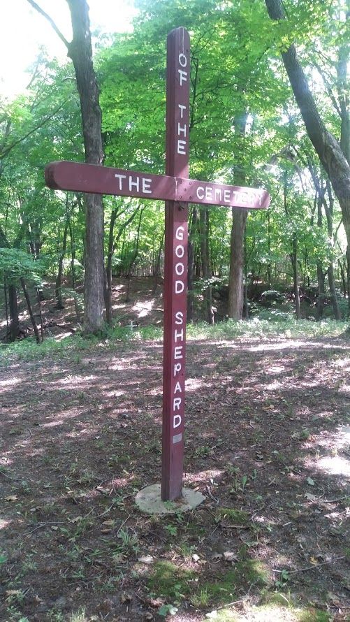
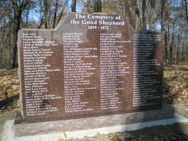
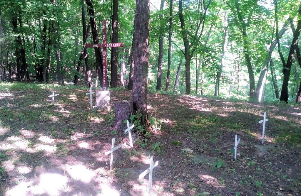
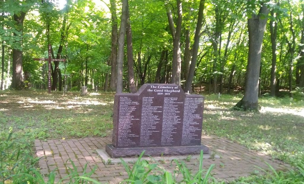
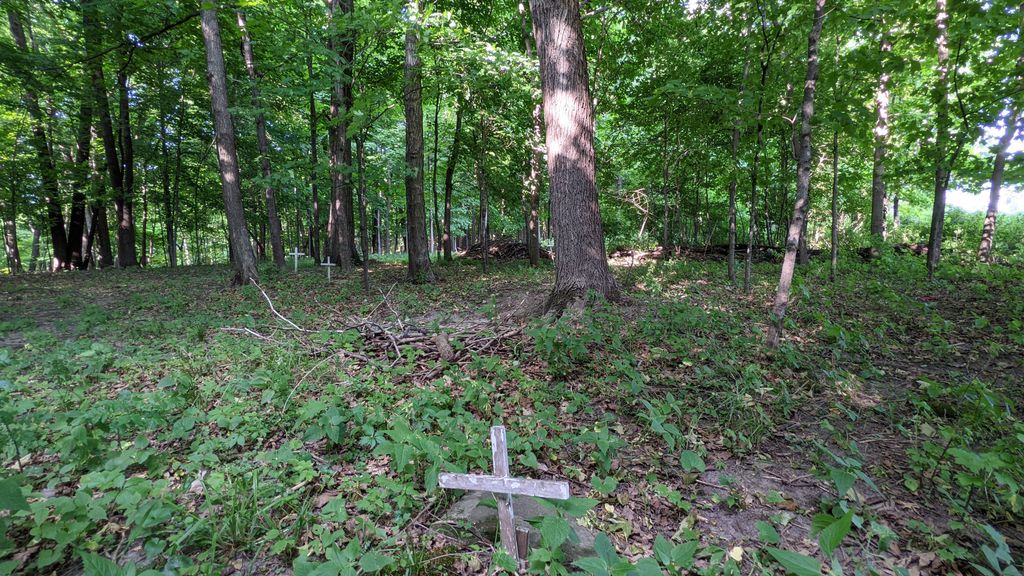
| Description | : | One of the first cemeteries in Rice County. A Episcopal Cemetery that was abandoned in the early 1900s. |
frequently asked questions (FAQ):
-
Where is Cemetery of the Good Shepherd?
Cemetery of the Good Shepherd is located at 2300-2310 14th St. NE Faribault, Rice County ,Minnesota ,USA.
-
Cemetery of the Good Shepherd cemetery's updated grave count on graveviews.com?
1 memorials
-
Where are the coordinates of the Cemetery of the Good Shepherd?
Latitude: 44.3147200
Longitude: -93.2611080
Nearby Cemetories:
1. Saint Lawrence Cemetery
Faribault, Rice County, USA
Coordinate: 44.3205986, -93.2739029
2. Oak Ridge Cemetery
Faribault, Rice County, USA
Coordinate: 44.3222008, -93.2742004
3. Cathedral of our Merciful Savior Columbarium
Faribault, Rice County, USA
Coordinate: 44.2977150, -93.2698560
4. Faribault Regional Center East Cemetery
Walcott, Rice County, USA
Coordinate: 44.2824783, -93.2493744
5. Faribault Regional Center West Cemetery
Walcott, Rice County, USA
Coordinate: 44.2802530, -93.2628560
6. Maple Lawn Cemetery
Faribault, Rice County, USA
Coordinate: 44.2886009, -93.2972031
7. North Grove Cemetery
Faribault, Rice County, USA
Coordinate: 44.3519402, -93.2572174
8. Cannon City Cemetery
Cannon City, Rice County, USA
Coordinate: 44.3232040, -93.2098083
9. Meadow Ridge Memorial Park
Faribault, Rice County, USA
Coordinate: 44.2708015, -93.2696991
10. Calvary Cemetery
Faribault, Rice County, USA
Coordinate: 44.2853012, -93.3127975
11. Rice County Poor Farm Cemetery
Faribault, Rice County, USA
Coordinate: 44.2760506, -93.3032074
12. Woodman Cemetery
Faribault, Rice County, USA
Coordinate: 44.2649994, -93.2556000
13. Old Prairieville Cemetery
Prairieville, Rice County, USA
Coordinate: 44.2841680, -93.1903270
14. Denison Cemetery
Faribault, Rice County, USA
Coordinate: 44.2472000, -93.2628021
15. Fox Lake Norwegian Cemetery
Millersburg, Rice County, USA
Coordinate: 44.3848550, -93.3343400
16. Richland Union Cemetery
Faribault, Rice County, USA
Coordinate: 44.2405340, -93.1567680
17. Hershey Cemetery
Warsaw, Rice County, USA
Coordinate: 44.2626690, -93.3936030
18. Forest Cemetery
Millersburg, Rice County, USA
Coordinate: 44.4138800, -93.3219050
19. Prairieville United Methodist Cemetery
Faribault, Rice County, USA
Coordinate: 44.2833786, -93.1132278
20. Saint Johns United Church of Christ Cemetery
Faribault, Rice County, USA
Coordinate: 44.3120728, -93.1027679
21. Warsaw Cemetery
Warsaw, Rice County, USA
Coordinate: 44.2498817, -93.3910904
22. Eklund Cemetery
Rice County, USA
Coordinate: 44.2182999, -93.1772003
23. Holy Cross Episcopal Church Cemetery
Dundas, Rice County, USA
Coordinate: 44.4259530, -93.2037810
24. Saint Patrick Catholic Cemetery
Shieldsville, Rice County, USA
Coordinate: 44.3629100, -93.4147890