
| Memorials | : | 0 |
| Location | : | Faribault, Rice County, USA |
| Coordinate | : | 44.2833786, -93.1132278 |
frequently asked questions (FAQ):
-
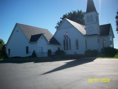
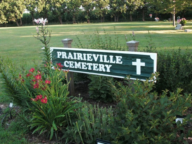
Where is Prairieville United Methodist Cemetery?
Prairieville United Methodist Cemetery is located at 9411 Kenyon Blvd Faribault, Rice County ,Minnesota , 55021USA.
-
Prairieville United Methodist Cemetery cemetery's updated grave count on graveviews.com?
0 memorials
-
Where are the coordinates of the Prairieville United Methodist Cemetery?
Latitude: 44.2833786
Longitude: -93.1132278
Nearby Cemetories:
1. Saint Johns United Church of Christ Cemetery
Faribault, Rice County, USA
Coordinate: 44.3120728, -93.1027679
2. Saint Edwards Catholic Cemetery
Epsom, Rice County, USA
Coordinate: 44.2413010, -93.1164130
3. Epsom Pioneer Cemetery
Epsom, Rice County, USA
Coordinate: 44.2610730, -93.0558130
4. Richland Union Cemetery
Faribault, Rice County, USA
Coordinate: 44.2405340, -93.1567680
5. Old Prairieville Cemetery
Prairieville, Rice County, USA
Coordinate: 44.2841680, -93.1903270
6. Evangelical Cemetery
Nerstrand, Rice County, USA
Coordinate: 44.3269005, -93.0419006
7. Richland Cemetery
Rice County, USA
Coordinate: 44.2182999, -93.1425018
8. Hauge Cemetery
Kenyon, Goodhue County, USA
Coordinate: 44.2555618, -93.0213928
9. Greenwood Cemetery
Faribault, Rice County, USA
Coordinate: 44.2116600, -93.0913600
10. Nerstrand Cemetery
Nerstrand, Rice County, USA
Coordinate: 44.3493996, -93.0658035
11. Gol Lutheran Church Cemetery
Kenyon, Goodhue County, USA
Coordinate: 44.2713318, -93.0106964
12. Knoll Cemetery
Goodhue County, USA
Coordinate: 44.3269005, -93.0252991
13. Valley Grove Cemetery
Nerstrand, Rice County, USA
Coordinate: 44.3619000, -93.1011000
14. Eklund Cemetery
Rice County, USA
Coordinate: 44.2182999, -93.1772003
15. Cannon City Cemetery
Cannon City, Rice County, USA
Coordinate: 44.3232040, -93.2098083
16. Bethany-Moland Cemetery
Rice County, USA
Coordinate: 44.1969590, -93.0655560
17. Kenyon Cemetery
Kenyon, Goodhue County, USA
Coordinate: 44.2762299, -92.9813995
18. Faribault Regional Center East Cemetery
Walcott, Rice County, USA
Coordinate: 44.2824783, -93.2493744
19. Saint Michaels Cemetery
Kenyon, Goodhue County, USA
Coordinate: 44.2980995, -92.9700012
20. Woodman Cemetery
Faribault, Rice County, USA
Coordinate: 44.2649994, -93.2556000
21. Little Cannon Cemetery
Dennison, Goodhue County, USA
Coordinate: 44.3272209, -92.9805603
22. Moland Cemetery
Moland, Steele County, USA
Coordinate: 44.1819382, -93.0666733
23. Faribault Regional Center West Cemetery
Walcott, Rice County, USA
Coordinate: 44.2802530, -93.2628560
24. Vang Lutheran Church Cemetery
Dennison, Goodhue County, USA
Coordinate: 44.3566895, -92.9994812