
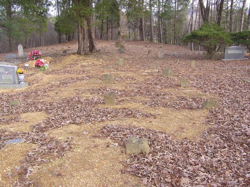
| Memorials | : | 1 |
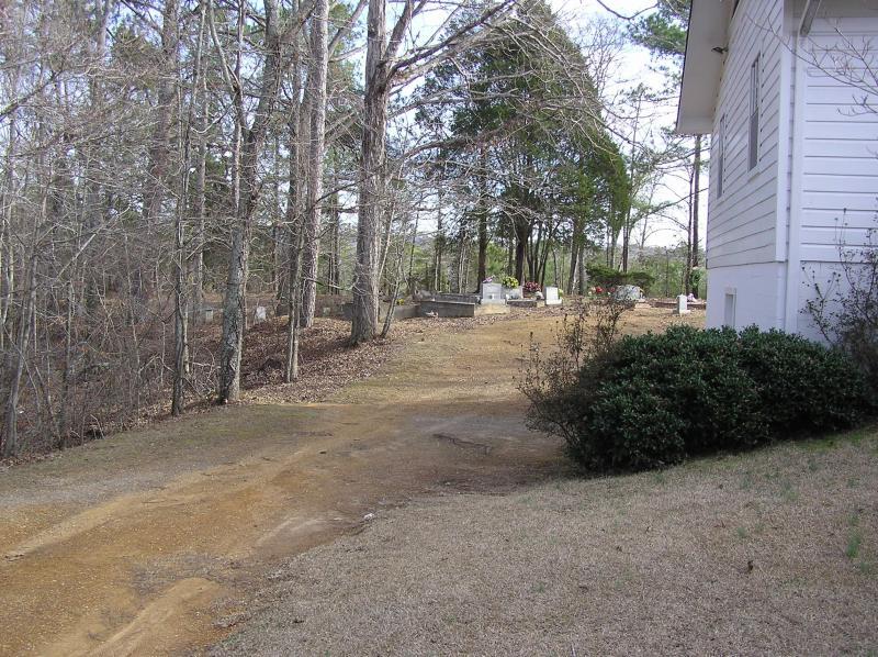
| Location | : | Blount County, USA |
| Phone | : | 205-681-6141 |
| Coordinate | : | 33.8775650, -86.6581700 |
| Description | : | Highway 79 South of Locust Fork about two miles, then right on Center Springs Road for a quarter mile, then right on Center Hill Road; after about 100 yards church and cemetery are on the right. |
frequently asked questions (FAQ):
-
Where is Center Hill Independent Presbyterian Cemetery?
Center Hill Independent Presbyterian Cemetery is located at 3025 Center Hill Rd Blount County ,Alabama , 35172USA.
-
Center Hill Independent Presbyterian Cemetery cemetery's updated grave count on graveviews.com?
1 memorials
-
Where are the coordinates of the Center Hill Independent Presbyterian Cemetery?
Latitude: 33.8775650
Longitude: -86.6581700

Nearby Cemetories:
1. Youngblood Family Cemetery
Dallas, Blount County, USA
Coordinate: 33.8614940, -86.6508190
2. Philadelphia Cemetery Old
Locust Fork, Blount County, USA
Coordinate: 33.8682251, -86.6792221
3. Philadelphia Cemetery New
Locust Fork, Blount County, USA
Coordinate: 33.8690440, -86.6869570
4. Tabernacle United Methodist Church Cemetery
Locust Fork, Blount County, USA
Coordinate: 33.9025002, -86.6363983
5. Bethlehem United Methodist Church Cemetery
Locust Fork, Blount County, USA
Coordinate: 33.8428993, -86.6635971
6. Pine Bluff Missionary Baptist Church Cemetery
Locust Fork, Blount County, USA
Coordinate: 33.8978004, -86.6175003
7. Marsh Cemetery
Locust Fork, Blount County, USA
Coordinate: 33.8993988, -86.6184998
8. Edgewood Baptist Church Cemetery
Locust Fork, Blount County, USA
Coordinate: 33.9221992, -86.6483002
9. Love Family Cemetery
Locust Fork, Blount County, USA
Coordinate: 33.8326020, -86.6691210
10. Sargent Cemetery
Blount County, USA
Coordinate: 33.8409920, -86.6918380
11. Pleasant Grove Methodist Church Cemetery
Dallas, Blount County, USA
Coordinate: 33.8447990, -86.6994019
12. Brown-Hudson Cemetery
Locust Fork, Blount County, USA
Coordinate: 33.9152985, -86.6055984
13. Sugar Creek Cemetery
Hayden, Blount County, USA
Coordinate: 33.9379997, -86.6788025
14. Crump Cemetery
Blount County, USA
Coordinate: 33.8880997, -86.5813980
15. Union Grove Cemetery
Hayden, Blount County, USA
Coordinate: 33.9155998, -86.7219009
16. Love Chapel Cemetery
Blount County, USA
Coordinate: 33.8210650, -86.7016180
17. Shoal Creek Missionary Baptist Church Cemetery
Hayden, Blount County, USA
Coordinate: 33.9442659, -86.6672153
18. Hays Cemetery
Hayden, Blount County, USA
Coordinate: 33.8821983, -86.7416992
19. Vandiver Cemetery
County Line, Blount County, USA
Coordinate: 33.8224983, -86.7099991
20. Gethsemane Baptist Church Cemetery
Hayden, Blount County, USA
Coordinate: 33.8968010, -86.7396011
21. Holston Chapel United Methodist Church Cemetery
County Line, Blount County, USA
Coordinate: 33.8247100, -86.7231900
22. County Line Baptist Church Cemetery
County Line, Blount County, USA
Coordinate: 33.8208008, -86.7197037
23. Remlap Methodist Church Cemetery
Remlap, Blount County, USA
Coordinate: 33.8182983, -86.5991974
24. Tidwell Cemetery
Deavers Town, Blount County, USA
Coordinate: 33.9272003, -86.5868988