
| Memorials | : | 2 |
| Location | : | Locust Fork, Blount County, USA |
| Coordinate | : | 33.8690440, -86.6869570 |
| Description | : | From the Blount County seat (Oneonte) take US Route 231 west to the town of Cleveland. Then turn left (south) on State Route 79 to the town of Locust Fork. Stay of State Route 79 until you come to Center Spring Road. Turn right. Go to Philadelphia Road and turn left. Go to the top of the hill. The church and cemetery are on the right side of the road. |
frequently asked questions (FAQ):
-
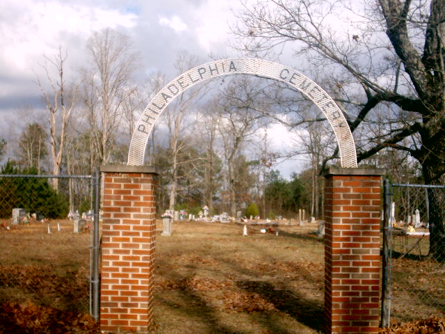
Where is Philadelphia Cemetery New?
Philadelphia Cemetery New is located at Locust Fork, Blount County ,Alabama ,USA.
-
Philadelphia Cemetery New cemetery's updated grave count on graveviews.com?
2 memorials
-
Where are the coordinates of the Philadelphia Cemetery New?
Latitude: 33.8690440
Longitude: -86.6869570
Nearby Cemetories:
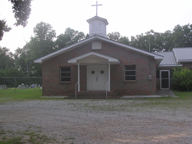
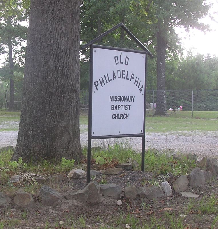
1. Philadelphia Cemetery Old
Locust Fork, Blount County, USA
Coordinate: 33.8682251, -86.6792221
2. Center Hill Independent Presbyterian Cemetery
Blount County, USA
Coordinate: 33.8775650, -86.6581700
3. Pleasant Grove Methodist Church Cemetery
Dallas, Blount County, USA
Coordinate: 33.8447990, -86.6994019
4. Sargent Cemetery
Blount County, USA
Coordinate: 33.8409920, -86.6918380
5. Youngblood Family Cemetery
Dallas, Blount County, USA
Coordinate: 33.8614940, -86.6508190
6. Bethlehem United Methodist Church Cemetery
Locust Fork, Blount County, USA
Coordinate: 33.8428993, -86.6635971
7. Love Family Cemetery
Locust Fork, Blount County, USA
Coordinate: 33.8326020, -86.6691210
8. Hays Cemetery
Hayden, Blount County, USA
Coordinate: 33.8821983, -86.7416992
9. Love Chapel Cemetery
Blount County, USA
Coordinate: 33.8210650, -86.7016180
10. Vandiver Cemetery
County Line, Blount County, USA
Coordinate: 33.8224983, -86.7099991
11. Gethsemane Baptist Church Cemetery
Hayden, Blount County, USA
Coordinate: 33.8968010, -86.7396011
12. Holston Chapel United Methodist Church Cemetery
County Line, Blount County, USA
Coordinate: 33.8247100, -86.7231900
13. Tabernacle United Methodist Church Cemetery
Locust Fork, Blount County, USA
Coordinate: 33.9025002, -86.6363983
14. Union Grove Cemetery
Hayden, Blount County, USA
Coordinate: 33.9155998, -86.7219009
15. County Line Baptist Church Cemetery
County Line, Blount County, USA
Coordinate: 33.8208008, -86.7197037
16. Edgewood Baptist Church Cemetery
Locust Fork, Blount County, USA
Coordinate: 33.9221992, -86.6483002
17. Hayden Cemetery
Hayden, Blount County, USA
Coordinate: 33.8889008, -86.7584991
18. Marsh Cemetery
Locust Fork, Blount County, USA
Coordinate: 33.8993988, -86.6184998
19. Pine Bluff Missionary Baptist Church Cemetery
Locust Fork, Blount County, USA
Coordinate: 33.8978004, -86.6175003
20. Providence Cemetery
Hayden, Blount County, USA
Coordinate: 33.8858170, -86.7642880
21. Sugar Creek Cemetery
Hayden, Blount County, USA
Coordinate: 33.9379997, -86.6788025
22. Elvester Cemetery
Blount County, USA
Coordinate: 33.8446999, -86.7696991
23. Shoal Creek Missionary Baptist Church Cemetery
Hayden, Blount County, USA
Coordinate: 33.9442659, -86.6672153
24. Oak Grove Baptist Cemetery
Hayden, Blount County, USA
Coordinate: 33.9449997, -86.7046967