
| Memorials | : | 5 |
| Location | : | Clay County, USA |
| Coordinate | : | 36.5512200, -85.6971200 |
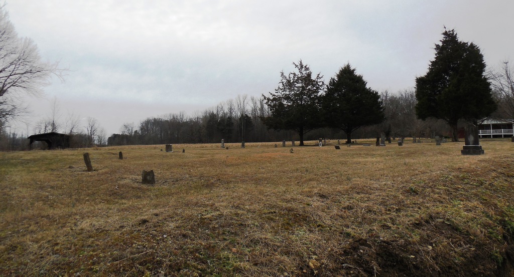
| Description | : | This cemetery is located in the Union Hill community of Clay County. From Clay County Hwy turn onto McCormick Ridge road and go 3.5 miles to Union Hill Road and turn right. Cemetery is located on the left. It is a very old cemetery with a lot of field stone marked graves. Many of the markers are becoming hard to read. It is well kept. This cemetery is located very close to the Union Hill Cemetery which is located beside Union Hill Church of Christ. I have photographed the entire cemetery and uploaded all images that I... Read More |
frequently asked questions (FAQ):
-
Where is Cherry Denton Cemetery?
Cherry Denton Cemetery is located at Clay County ,Tennessee ,USA.
-
Cherry Denton Cemetery cemetery's updated grave count on graveviews.com?
5 memorials
-
Where are the coordinates of the Cherry Denton Cemetery?
Latitude: 36.5512200
Longitude: -85.6971200
Nearby Cemetories:
1. Jonestown Cemetery
Clay County, USA
Coordinate: 36.5619011, -85.6921997
2. Pricetown Cemetery
Clay County, USA
Coordinate: 36.5422500, -85.6750670
3. James H. Cherry Family Cemetery
Clay County, USA
Coordinate: 36.5453700, -85.7266000
4. Hinson Cemetery
Moss, Clay County, USA
Coordinate: 36.5756750, -85.7020010
5. Mount Vernon Cemetery
Miles Crossroads, Clay County, USA
Coordinate: 36.5435982, -85.7403030
6. Smith Cemetery
Pine Hill, Clay County, USA
Coordinate: 36.5714930, -85.6568170
7. Eads-Denton Cemetery
Pine Hill, Clay County, USA
Coordinate: 36.5644207, -85.6503187
8. Pitcock Cemetery
Clay County, USA
Coordinate: 36.5992012, -85.6911011
9. Cherry Family Cemetery #02
Clay County, USA
Coordinate: 36.5071260, -85.6685290
10. Browning Cemetery
Clay County, USA
Coordinate: 36.5578003, -85.7602997
11. Cherry Cemetery #3
Oak Grove, Clay County, USA
Coordinate: 36.6015000, -85.7100300
12. Kendall Cemetery
Moss, Clay County, USA
Coordinate: 36.5672540, -85.6362650
13. Edna Lee Biblery
Bakerton, Clay County, USA
Coordinate: 36.5048730, -85.7420270
14. Liberty Church Cemetery
Boles, Clay County, USA
Coordinate: 36.6010850, -85.6496830
15. Clementsville Cemetery
Clementsville, Clay County, USA
Coordinate: 36.6132300, -85.7146410
16. Hix Family Cemetery
Jackson County, USA
Coordinate: 36.4842240, -85.6821690
17. Hermitage Springs Cemetery
Hermitage Springs, Clay County, USA
Coordinate: 36.5823500, -85.7750900
18. Macedonia Cemetery
Moss, Clay County, USA
Coordinate: 36.5643997, -85.6110992
19. Moore Cemetery #1
Moss, Clay County, USA
Coordinate: 36.6164920, -85.6636620
20. Moss Cemetery
Moss, Clay County, USA
Coordinate: 36.5911210, -85.6214460
21. Pedigo Cemetery
Clay County, USA
Coordinate: 36.5744019, -85.7863998
22. Leonard Cemetery
Clay County, USA
Coordinate: 36.5250015, -85.7863998
23. Strong Family Cemetery
Clay County, USA
Coordinate: 36.5690700, -85.6042600
24. Moore Cemetery
Moss, Clay County, USA
Coordinate: 36.6113400, -85.6374980