
| Memorials | : | 39 |
| Location | : | Clay County, USA |
| Coordinate | : | 36.5453700, -85.7266000 |
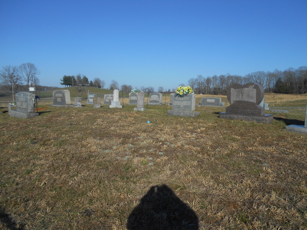
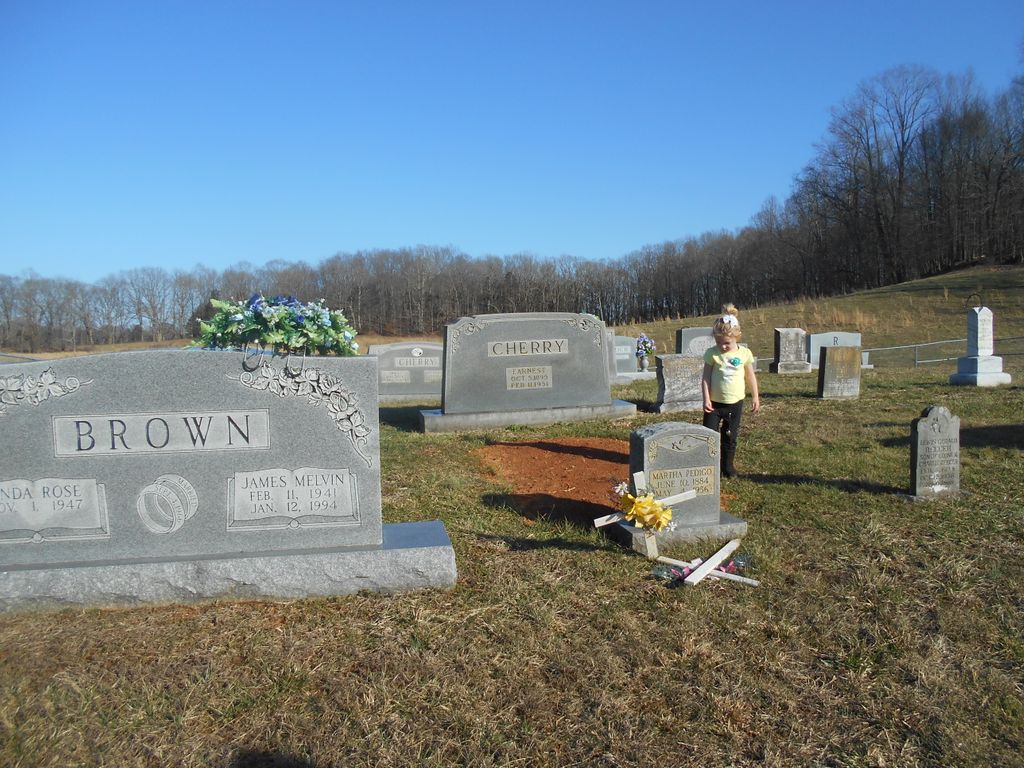
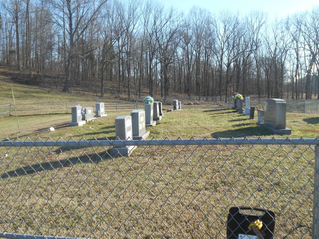
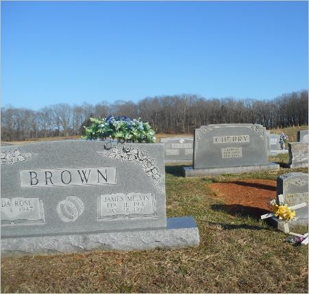
| Description | : | The Cherry Cemetery is located on the Union Hill Road in Mount Vernon. Directions: Turn off Highway 52 onto Bakerton Road, then turn onto the Union Hill road. Turn off the Union Hill Road beside a log house and the cemetery is located behind the house (the cemetery is visible from the road). |
frequently asked questions (FAQ):
-
Where is James H. Cherry Family Cemetery?
James H. Cherry Family Cemetery is located at Union Hill Road Clay County ,Tennessee ,USA.
-
James H. Cherry Family Cemetery cemetery's updated grave count on graveviews.com?
4 memorials
-
Where are the coordinates of the James H. Cherry Family Cemetery?
Latitude: 36.5453700
Longitude: -85.7266000
Nearby Cemetories:
1. Mount Vernon Cemetery
Miles Crossroads, Clay County, USA
Coordinate: 36.5435982, -85.7403030
2. Cherry Denton Cemetery
Clay County, USA
Coordinate: 36.5512200, -85.6971200
3. Browning Cemetery
Clay County, USA
Coordinate: 36.5578003, -85.7602997
4. Jonestown Cemetery
Clay County, USA
Coordinate: 36.5619011, -85.6921997
5. Hinson Cemetery
Moss, Clay County, USA
Coordinate: 36.5756750, -85.7020010
6. Pricetown Cemetery
Clay County, USA
Coordinate: 36.5422500, -85.6750670
7. Edna Lee Biblery
Bakerton, Clay County, USA
Coordinate: 36.5048730, -85.7420270
8. Leonard Cemetery
Clay County, USA
Coordinate: 36.5250015, -85.7863998
9. Hermitage Springs Cemetery
Hermitage Springs, Clay County, USA
Coordinate: 36.5823500, -85.7750900
10. Pedigo Cemetery
Clay County, USA
Coordinate: 36.5744019, -85.7863998
11. Cherry Cemetery #3
Oak Grove, Clay County, USA
Coordinate: 36.6015000, -85.7100300
12. Cherry Family Cemetery #02
Clay County, USA
Coordinate: 36.5071260, -85.6685290
13. Pitcock Cemetery
Clay County, USA
Coordinate: 36.5992012, -85.6911011
14. Smith Cemetery
Pine Hill, Clay County, USA
Coordinate: 36.5714930, -85.6568170
15. Eads-Denton Cemetery
Pine Hill, Clay County, USA
Coordinate: 36.5644207, -85.6503187
16. Reeves Cemetery
Hermitage Springs, Clay County, USA
Coordinate: 36.5760994, -85.7977982
17. Griffith Family Cemetery
Gainesboro, Jackson County, USA
Coordinate: 36.4896790, -85.7759830
18. Clementsville Cemetery
Clementsville, Clay County, USA
Coordinate: 36.6132300, -85.7146410
19. Hix Family Cemetery
Jackson County, USA
Coordinate: 36.4842240, -85.6821690
20. Franklin-York Cemetery
Clay County, USA
Coordinate: 36.5141190, -85.8079140
21. Kendall Cemetery
Moss, Clay County, USA
Coordinate: 36.5672540, -85.6362650
22. Biles Cemetery
Hermitage Springs, Clay County, USA
Coordinate: 36.6039009, -85.7919006
23. Cunningham Family Cemetery
Jackson County, USA
Coordinate: 36.4652778, -85.7427778
24. Chimney Rock Cemetery
Hermitage Springs, Clay County, USA
Coordinate: 36.6138200, -85.7849000