
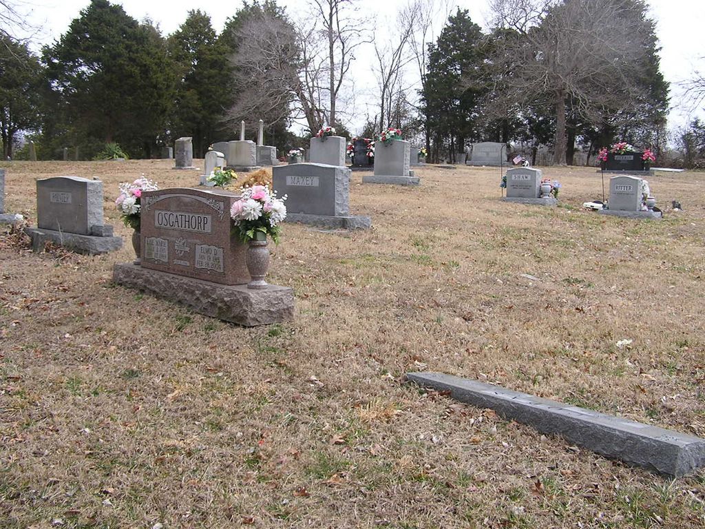
| Memorials | : | 0 |
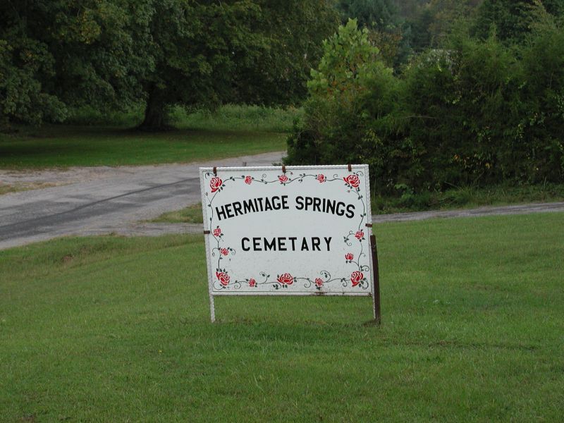
| Location | : | Hermitage Springs, Clay County, USA |
| Coordinate | : | 36.5823500, -85.7750900 |
| Description | : | Hermitage Springs Cemetery Route 2 Red Boiling Springs, TN 37150 Located on Harve Knight Road Located on the north side of Harve Knight Road, about 0.3 mile west of the intersection of Harve Knight Road and State Route 52 (near the water tower). [This is about halfway between Little Trace Creek Road and State Route 52.] Clay County Tax Assessor Map 025, Parcel 016, approximately one acre in size |
frequently asked questions (FAQ):
-
Where is Hermitage Springs Cemetery?
Hermitage Springs Cemetery is located at Hermitage Springs, Clay County ,Tennessee ,USA.
-
Hermitage Springs Cemetery cemetery's updated grave count on graveviews.com?
0 memorials
-
Where are the coordinates of the Hermitage Springs Cemetery?
Latitude: 36.5823500
Longitude: -85.7750900
Nearby Cemetories:
1. Pedigo Cemetery
Clay County, USA
Coordinate: 36.5744019, -85.7863998
2. Reeves Cemetery
Hermitage Springs, Clay County, USA
Coordinate: 36.5760994, -85.7977982
3. Biles Cemetery
Hermitage Springs, Clay County, USA
Coordinate: 36.6039009, -85.7919006
4. Browning Cemetery
Clay County, USA
Coordinate: 36.5578003, -85.7602997
5. Chimney Rock Cemetery
Hermitage Springs, Clay County, USA
Coordinate: 36.6138200, -85.7849000
6. Compton Cemetery
Gamaliel, Monroe County, USA
Coordinate: 36.6262040, -85.7680120
7. Mount Vernon Cemetery
Miles Crossroads, Clay County, USA
Coordinate: 36.5435982, -85.7403030
8. James H. Cherry Family Cemetery
Clay County, USA
Coordinate: 36.5453700, -85.7266000
9. Cherry Cemetery #3
Oak Grove, Clay County, USA
Coordinate: 36.6015000, -85.7100300
10. Clementsville Cemetery
Clementsville, Clay County, USA
Coordinate: 36.6132300, -85.7146410
11. Leonard Cemetery
Clay County, USA
Coordinate: 36.5250015, -85.7863998
12. Hinson Cemetery
Moss, Clay County, USA
Coordinate: 36.5756750, -85.7020010
13. Gamaliel Cemetery
Gamaliel, Monroe County, USA
Coordinate: 36.6422000, -85.7989000
14. Old Bowman Cemetery
Gamaliel, Monroe County, USA
Coordinate: 36.6289830, -85.7204190
15. Beautiful Home Cemetery
Tompkinsville, Monroe County, USA
Coordinate: 36.6392000, -85.7371000
16. Bethany Cemetery
Macon County, USA
Coordinate: 36.5691986, -85.8574982
17. Pitcock Cemetery
Clay County, USA
Coordinate: 36.5992012, -85.6911011
18. Jonestown Cemetery
Clay County, USA
Coordinate: 36.5619011, -85.6921997
19. Cherry Denton Cemetery
Clay County, USA
Coordinate: 36.5512200, -85.6971200
20. Franklin-York Cemetery
Clay County, USA
Coordinate: 36.5141190, -85.8079140
21. Edna Lee Biblery
Bakerton, Clay County, USA
Coordinate: 36.5048730, -85.7420270
22. Samuel Harlan Family Cemetery
Gamaliel, Monroe County, USA
Coordinate: 36.6669730, -85.7835670
23. Old Union Church Cemetery
Gamaliel, Monroe County, USA
Coordinate: 36.6578500, -85.8294440
24. Carnahan Cemetery
Harlan Crossroads, Monroe County, USA
Coordinate: 36.6592700, -85.7224900