
| Memorials | : | 10 |
| Location | : | Oak Grove, Clay County, USA |
| Coordinate | : | 36.6015000, -85.7100300 |
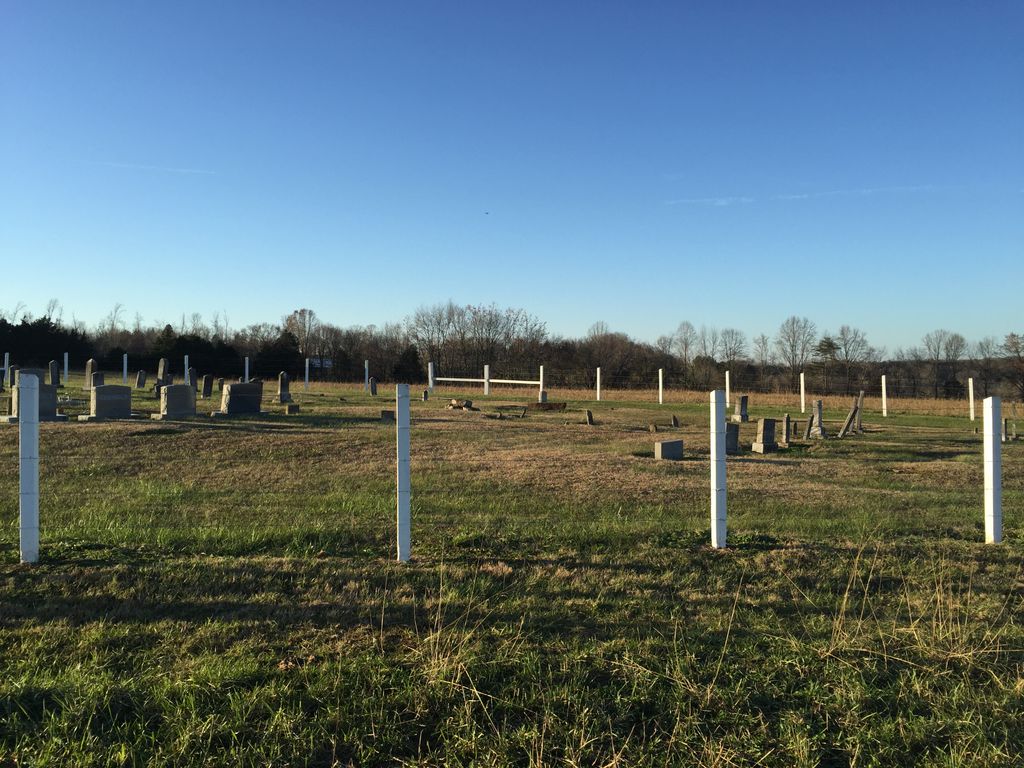
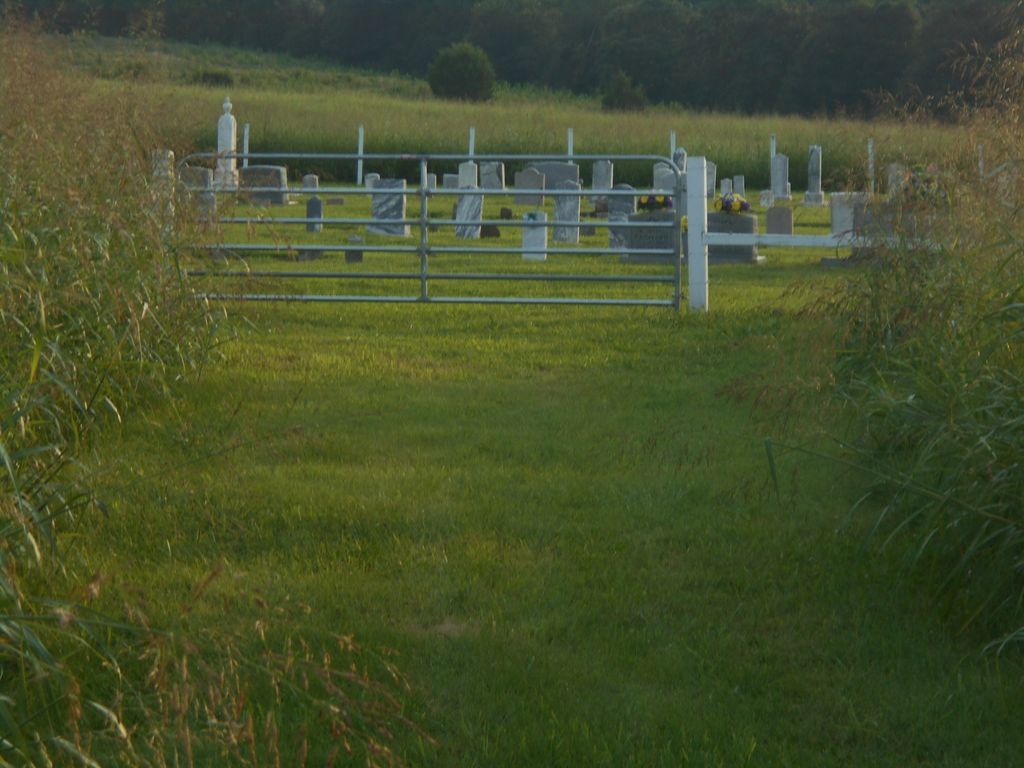
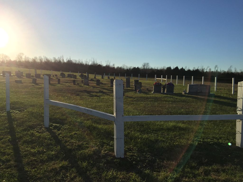
| Description | : | Cherry Cemetery #3 is located off Hwy 52 in the Oak Grove community. Turn onto Clementsville Road (right next to the Oak Grove Church of Christ) and take the first left onto the Grady Cherry Road. Follow to the end of the road (continue past the barn on the left) and the cemetery is on the left. The cemetery is well kept. |
frequently asked questions (FAQ):
-
Where is Cherry Cemetery #3?
Cherry Cemetery #3 is located at 398 Grady Cherry Road Oak Grove, Clay County ,Tennessee ,USA.
-
Cherry Cemetery #3 cemetery's updated grave count on graveviews.com?
10 memorials
-
Where are the coordinates of the Cherry Cemetery #3?
Latitude: 36.6015000
Longitude: -85.7100300
Nearby Cemetories:
1. Clementsville Cemetery
Clementsville, Clay County, USA
Coordinate: 36.6132300, -85.7146410
2. Pitcock Cemetery
Clay County, USA
Coordinate: 36.5992012, -85.6911011
3. Hinson Cemetery
Moss, Clay County, USA
Coordinate: 36.5756750, -85.7020010
4. Old Bowman Cemetery
Gamaliel, Monroe County, USA
Coordinate: 36.6289830, -85.7204190
5. Beech Grove Cemetery
Harlan Crossroads, Monroe County, USA
Coordinate: 36.6319000, -85.6809000
6. Moore Cemetery #1
Moss, Clay County, USA
Coordinate: 36.6164920, -85.6636620
7. Jonestown Cemetery
Clay County, USA
Coordinate: 36.5619011, -85.6921997
8. Beautiful Home Cemetery
Tompkinsville, Monroe County, USA
Coordinate: 36.6392000, -85.7371000
9. Liberty Church Cemetery
Boles, Clay County, USA
Coordinate: 36.6010850, -85.6496830
10. Harlan's Crossroads Cemetery
Harlan Crossroads, Monroe County, USA
Coordinate: 36.6518500, -85.7064700
11. Cherry Denton Cemetery
Clay County, USA
Coordinate: 36.5512200, -85.6971200
12. Smith Cemetery
Pine Hill, Clay County, USA
Coordinate: 36.5714930, -85.6568170
13. Compton Cemetery
Gamaliel, Monroe County, USA
Coordinate: 36.6262040, -85.7680120
14. Willhoite-Curtis Cemetery
Tompkinsville, Monroe County, USA
Coordinate: 36.6182208, -85.6442948
15. Hermitage Springs Cemetery
Hermitage Springs, Clay County, USA
Coordinate: 36.5823500, -85.7750900
16. Old Bob Wood Place Cemetery
Boles, Monroe County, USA
Coordinate: 36.6325120, -85.6515600
17. James H. Cherry Family Cemetery
Clay County, USA
Coordinate: 36.5453700, -85.7266000
18. Carnahan Cemetery
Harlan Crossroads, Monroe County, USA
Coordinate: 36.6592700, -85.7224900
19. Moore Cemetery
Moss, Clay County, USA
Coordinate: 36.6113400, -85.6374980
20. Browning Cemetery
Clay County, USA
Coordinate: 36.5578003, -85.7602997
21. Eads-Denton Cemetery
Pine Hill, Clay County, USA
Coordinate: 36.5644207, -85.6503187
22. Chimney Rock Cemetery
Hermitage Springs, Clay County, USA
Coordinate: 36.6138200, -85.7849000
23. Mount Vernon Cemetery
Miles Crossroads, Clay County, USA
Coordinate: 36.5435982, -85.7403030
24. Pricetown Cemetery
Clay County, USA
Coordinate: 36.5422500, -85.6750670