
| Memorials | : | 1205 |
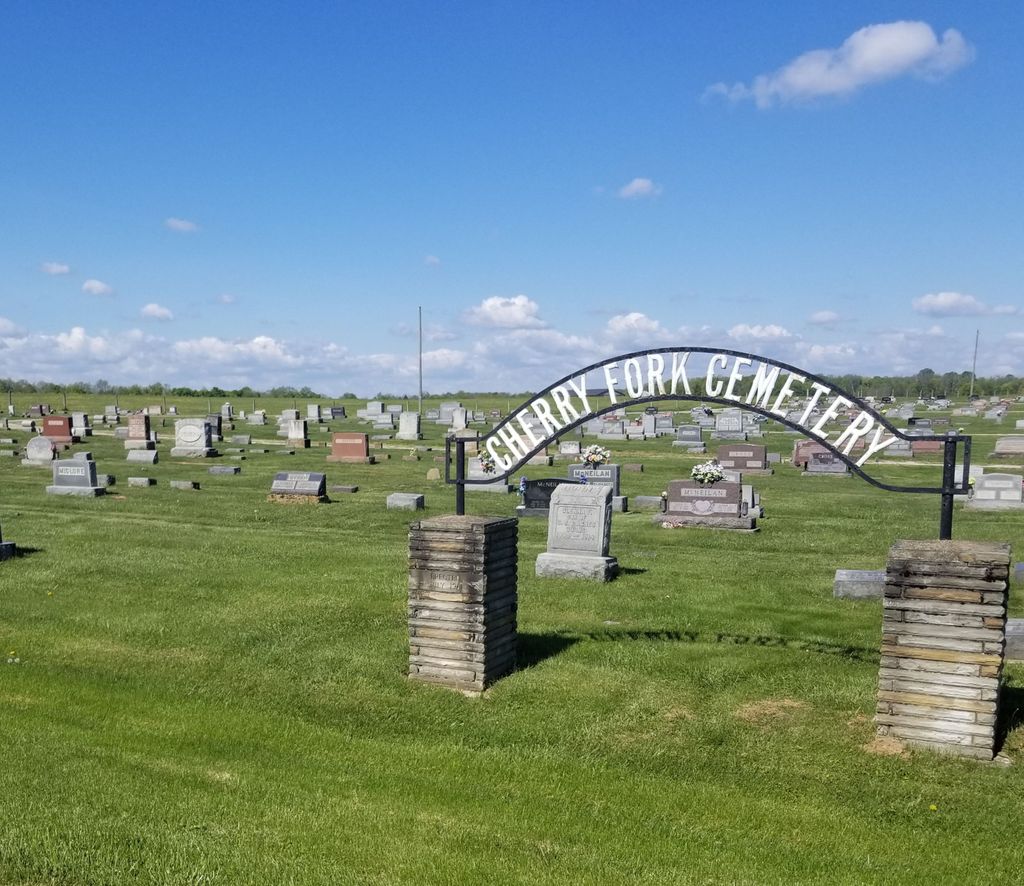
| Location | : | Cherry Fork, Adams County, USA |
| Coordinate | : | 38.8795900, -83.6152900 |
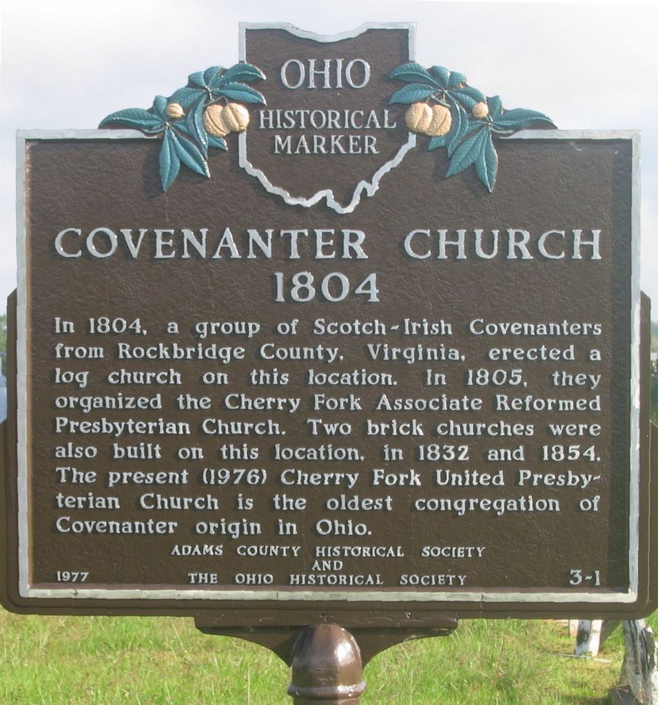
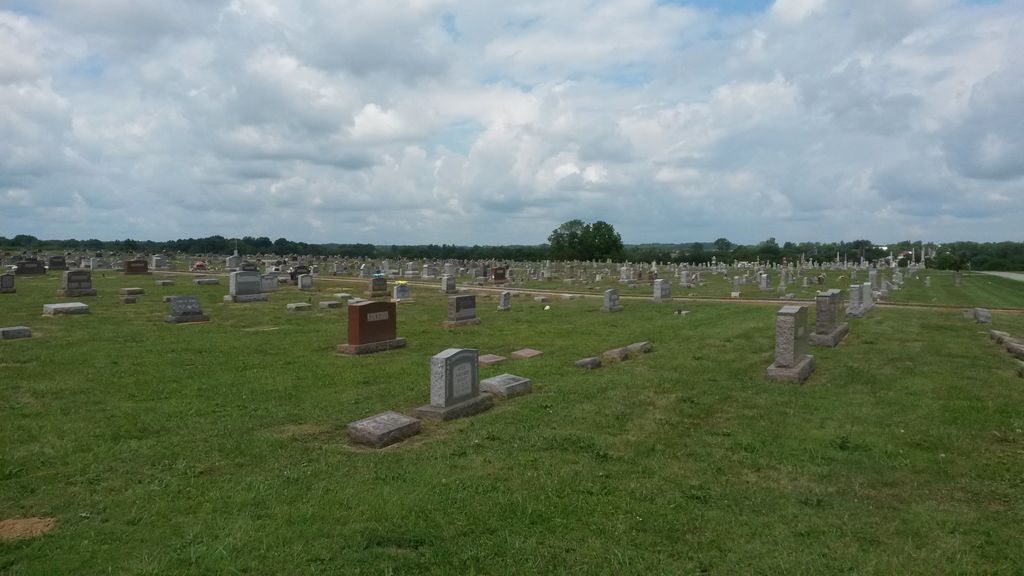
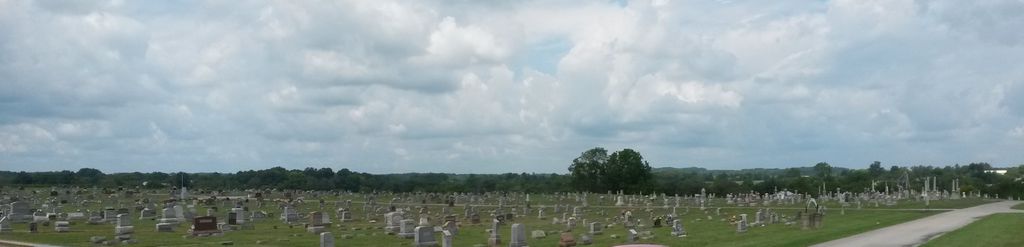
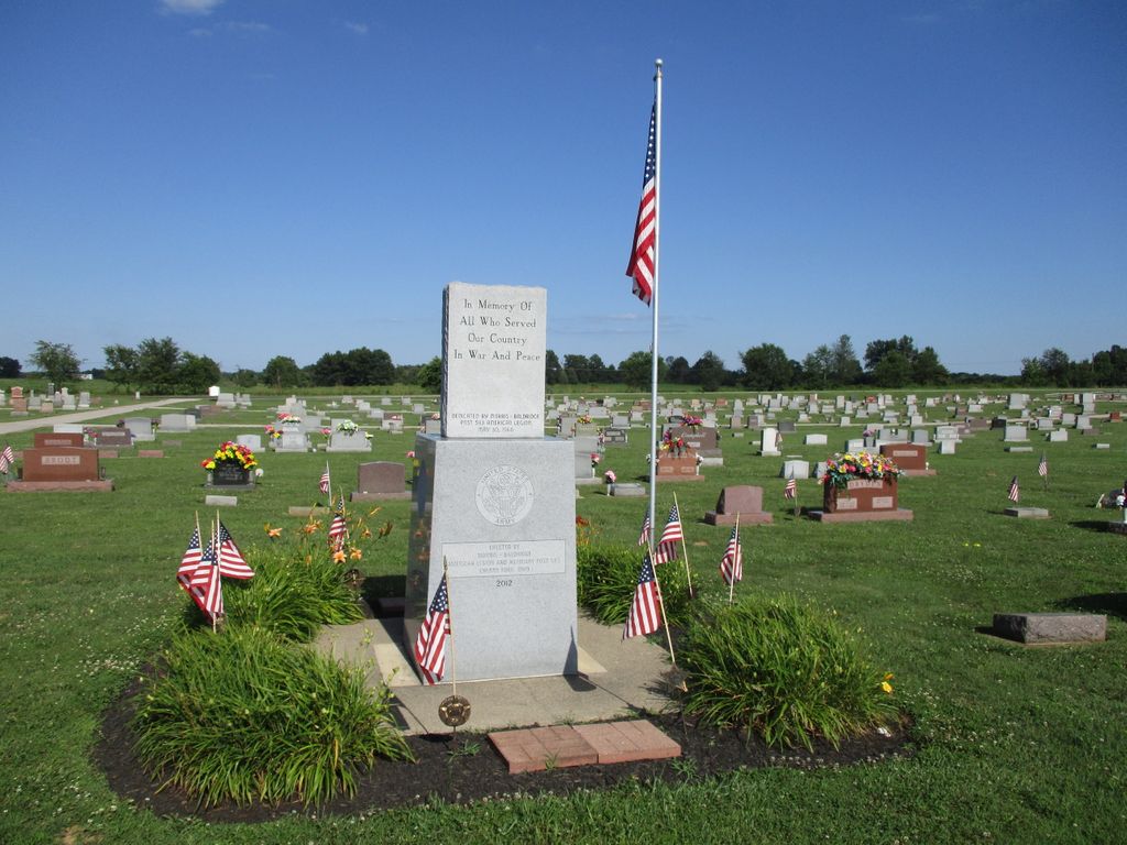
| Description | : | The cemetery is located on the west side of Ohio State Route 136 at its intersection with Coon Hill Road (County Road 11). The cemetery is located in Wayne Township, Adams County, Ohio, and is # 115 (Cherry Fork Cemetery) in “Ohio Cemeteries 1803-2003”, compiled by the Ohio Genealogical Society. The cemetery is registered with the Ohio Division of Real Estate and Professional Licensing (ODRE) as Sacred Heart Cemetery with registration license number CGR.0000980911. The U.S. Geological Survey (USGS) Geographic Names Information System (GNIS) feature ID for the cemetery is 1731180 (Cherry Fork Cemetery). |
frequently asked questions (FAQ):
-
Where is Cherry Fork Cemetery?
Cherry Fork Cemetery is located at Ohio State Route 136 Cherry Fork, Adams County ,Ohio , 45697USA.
-
Cherry Fork Cemetery cemetery's updated grave count on graveviews.com?
1205 memorials
-
Where are the coordinates of the Cherry Fork Cemetery?
Latitude: 38.8795900
Longitude: -83.6152900
Nearby Cemetories:
1. Lepley Family Cemetery
Liberty Township, Adams County, USA
Coordinate: 38.8375300, -83.5995300
2. Anderson Family Cemetery
Winchester, Adams County, USA
Coordinate: 38.9353000, -83.6372170
3. Oak Grove Church Cemetery
West Union, Adams County, USA
Coordinate: 38.8451200, -83.5541000
4. Winchester Cemetery
Winchester, Adams County, USA
Coordinate: 38.9383011, -83.6477966
5. Mount Zion Cemetery
Seaman, Adams County, USA
Coordinate: 38.9444008, -83.5924988
6. Bennington Cemetery
Russellville, Brown County, USA
Coordinate: 38.8986015, -83.7007980
7. Unity Cemetery
Unity, Adams County, USA
Coordinate: 38.8916300, -83.5229300
8. Pleasant Hill Cemetery
Jackson Township, Brown County, USA
Coordinate: 38.9185982, -83.6952972
9. Eckman Cemetery
Decatur, Brown County, USA
Coordinate: 38.8453903, -83.7043152
10. Bissinger Cemetery
Liberty Township, Adams County, USA
Coordinate: 38.8058014, -83.6528015
11. Rickey Cemetery
Jackson Township, Brown County, USA
Coordinate: 38.8913994, -83.7166977
12. Virginia Cemetery
Seaman, Adams County, USA
Coordinate: 38.9485730, -83.5627160
13. Mount Leigh Cemetery
Seaman, Adams County, USA
Coordinate: 38.9566994, -83.5749969
14. Smith Cemetery
Liberty Township, Adams County, USA
Coordinate: 38.7963620, -83.5934450
15. Waters Cemetery
Huntington Township, Brown County, USA
Coordinate: 38.9249992, -83.7127991
16. Wallace Cemetery
Winchester, Adams County, USA
Coordinate: 38.9653015, -83.6528015
17. Independence Cemetery
Jackson Township, Brown County, USA
Coordinate: 38.9281006, -83.7138977
18. Decatur Cemetery
Decatur, Brown County, USA
Coordinate: 38.8181000, -83.7011032
19. Horner Cemetery
Winchester Township, Adams County, USA
Coordinate: 38.9743996, -83.6346970
20. Old Covenanter Cemetery
Adams County, USA
Coordinate: 38.9544800, -83.5362400
21. Baptist Cemetery
Wheat Ridge, Adams County, USA
Coordinate: 38.8734690, -83.4892430
22. Kirker Cemetery
West Union, Adams County, USA
Coordinate: 38.7783012, -83.6027985
23. Lee-Armstrong Cemetery
West Union, Adams County, USA
Coordinate: 38.7921100, -83.5482200
24. West-Evans Cemetery
Russellville, Brown County, USA
Coordinate: 38.8332750, -83.7333830