
| Memorials | : | 69 |
| Location | : | Russellville, Brown County, USA |
| Coordinate | : | 38.8332750, -83.7333830 |
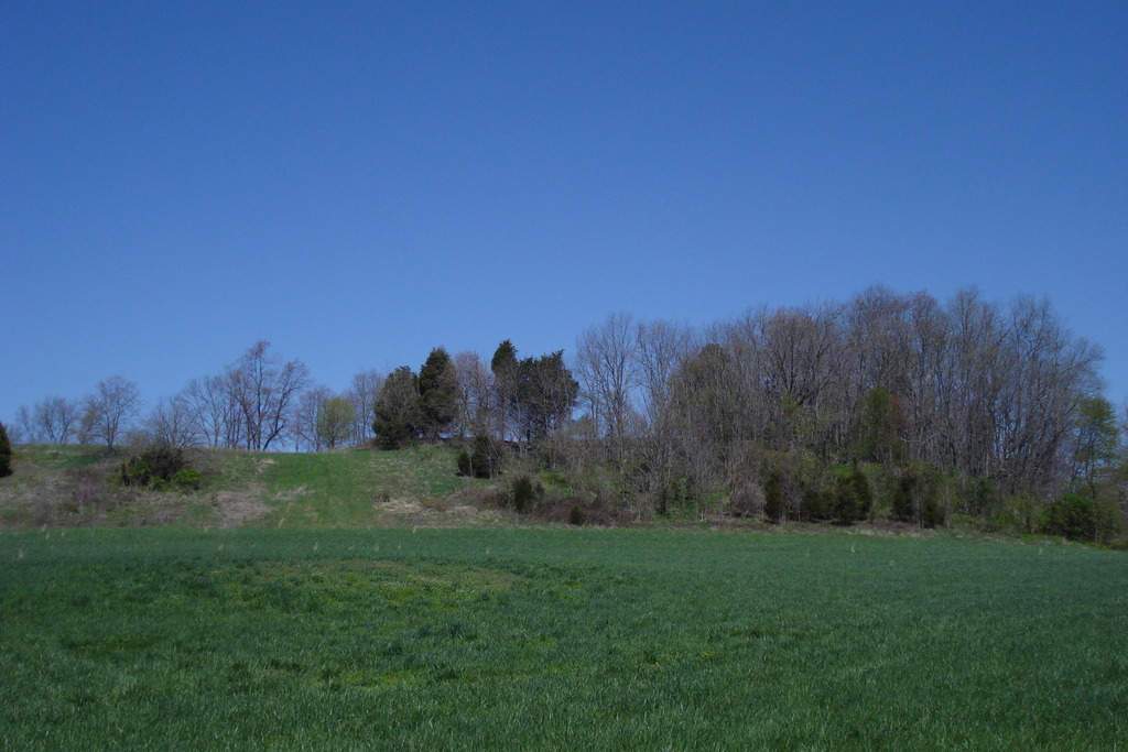
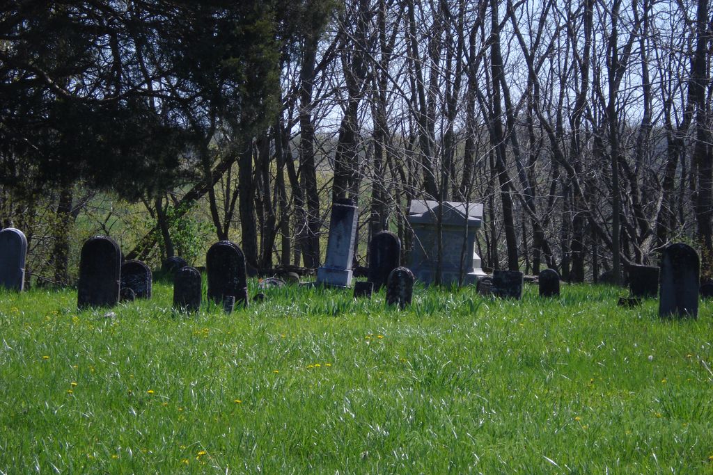
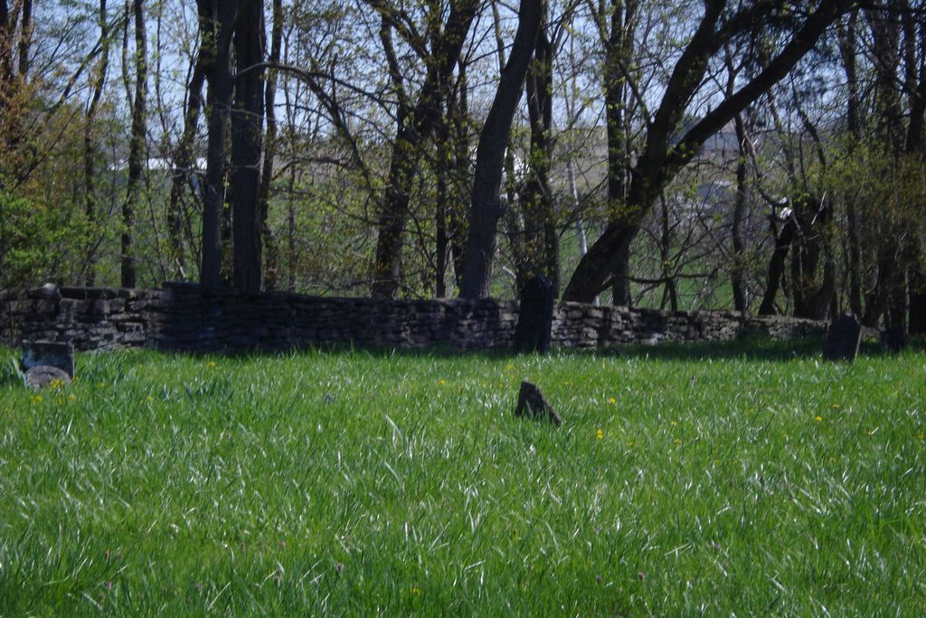
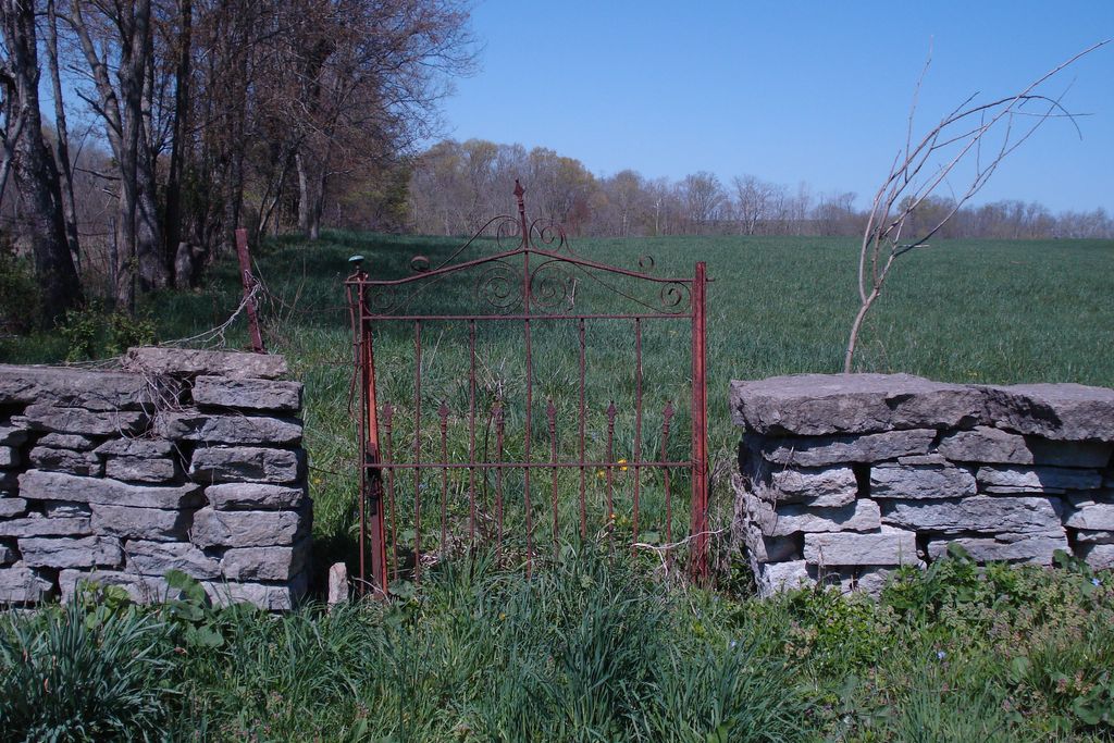
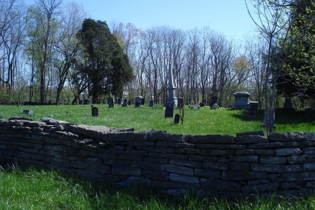
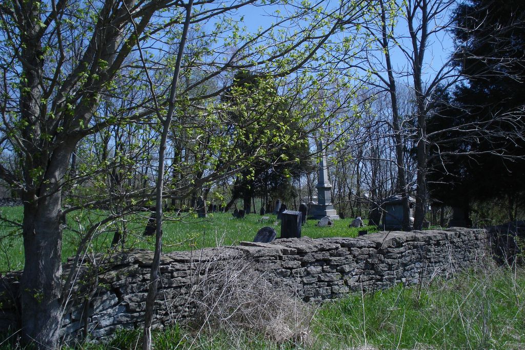
| Description | : | The West-Evans Cemetery is situated on a hill above the intersection of Route 125 and George Miller Road, in Byrd Township, Brown Co., Ohio, on a tract land now owned by Clarence and Thelma Kegley. There is no langer a road to the cemetery - access is by hiking. George Edwards originally purchased 750 acres of land on 09 Aug 1806 from Nathaniel Fox. On 30 Nov 1830, George Edwards deeded 1/4 acre of this land for use as a public burial ground in Byrd Township. The deed states "...that the said George Edwards, taking into consideration the utility of a... Read More |
frequently asked questions (FAQ):
-
Where is West-Evans Cemetery?
West-Evans Cemetery is located at 9200 Ohio 125 Russellville, Brown County ,Ohio , 45168USA.
-
West-Evans Cemetery cemetery's updated grave count on graveviews.com?
69 memorials
-
Where are the coordinates of the West-Evans Cemetery?
Latitude: 38.8332750
Longitude: -83.7333830
Nearby Cemetories:
1. Evans Cemetery
Decatur, Brown County, USA
Coordinate: 38.8177470, -83.7354080
2. Liberty Chapel Cemetery
Decatur, Brown County, USA
Coordinate: 38.8171997, -83.7350006
3. Eckman Cemetery
Decatur, Brown County, USA
Coordinate: 38.8453903, -83.7043152
4. Decatur Cemetery
Decatur, Brown County, USA
Coordinate: 38.8181000, -83.7011032
5. Associated Reformed Churchyard
Russellville, Brown County, USA
Coordinate: 38.8596110, -83.7554720
6. Baird Cemetery
Russellville, Brown County, USA
Coordinate: 38.8594360, -83.7610016
7. Reeves Cemetery
Decatur, Brown County, USA
Coordinate: 38.7913780, -83.7370450
8. Gardner Cemetery
Russellville, Brown County, USA
Coordinate: 38.8330200, -83.7884300
9. Reeves Family Cemetery
Redoak, Brown County, USA
Coordinate: 38.7961000, -83.7608300
10. Linwood Cemetery
Russellville, Brown County, USA
Coordinate: 38.8671989, -83.7671967
11. Old Russellville Cemetery
Russellville, Brown County, USA
Coordinate: 38.8513985, -83.7878036
12. Associated Reformed Churchyard
Russellville, Brown County, USA
Coordinate: 38.8657990, -83.7822037
13. Glaze Cemetery
Jefferson Township, Brown County, USA
Coordinate: 38.8342300, -83.8029280
14. Woods Cemetery
Ripley, Brown County, USA
Coordinate: 38.7789001, -83.7225037
15. Rickey Cemetery
Jackson Township, Brown County, USA
Coordinate: 38.8913994, -83.7166977
16. Shaw Cemetery
Russellville, Brown County, USA
Coordinate: 38.8737950, -83.7898490
17. Red Oak Presbyterian Church Cemetery
Redoak, Brown County, USA
Coordinate: 38.7967682, -83.7957916
18. Beasley Family Cemetery
Union Township, Brown County, USA
Coordinate: 38.7784910, -83.7791710
19. Bissinger Cemetery
Liberty Township, Adams County, USA
Coordinate: 38.8058014, -83.6528015
20. Bennington Cemetery
Russellville, Brown County, USA
Coordinate: 38.8986015, -83.7007980
21. Brier Ridge Cemetery
Bentonville, Adams County, USA
Coordinate: 38.7786800, -83.6712500
22. Devore Family Cemetery
Union Township, Brown County, USA
Coordinate: 38.8053017, -83.8199997
23. Old Redoak Cemetery
Redoak, Brown County, USA
Coordinate: 38.8072014, -83.8289032
24. Hickory Ridge Cemetery
Aberdeen, Brown County, USA
Coordinate: 38.7510986, -83.7127991