
| Memorials | : | 19 |
| Location | : | Decatur, Brown County, USA |
| Coordinate | : | 38.8453903, -83.7043152 |
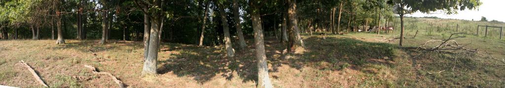
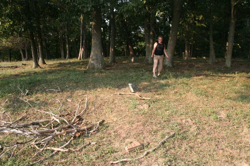
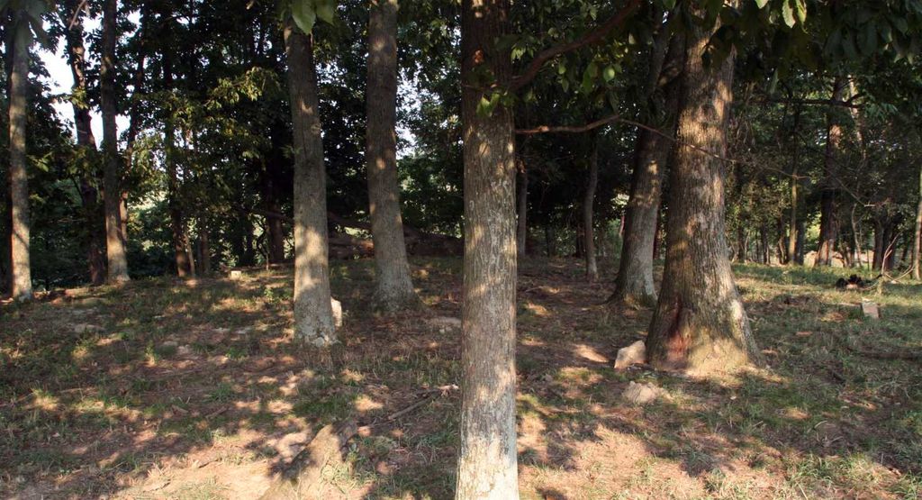
| Description | : | Eckman Family Cemetery is located 2 miles directly north of Decatur, Ohio across a pasture off Rickey Road (TWP-223) between Hughes Road (TWP-61) and Bethlehem Road (CR-14). From the main intersection in Decatur drive north on Decatur-Eckmansville Road 0.4 miles and turn left onto Hughes Road. Drive 1.7 miles to Rickey Road (TWP-223) and turn right. Drive 0.4 miles to a steel cattle gate on the left. The gate is about 100m past a pond and picnic table also on the left. The cemetery is across the pasture about 500m to the north and west of the gate in... Read More |
frequently asked questions (FAQ):
-
Where is Eckman Cemetery?
Eckman Cemetery is located at Rickey Road (Township Road 223) Decatur, Brown County ,Ohio , 45168USA.
-
Eckman Cemetery cemetery's updated grave count on graveviews.com?
0 memorials
-
Where are the coordinates of the Eckman Cemetery?
Latitude: 38.8453903
Longitude: -83.7043152
Nearby Cemetories:
1. West-Evans Cemetery
Russellville, Brown County, USA
Coordinate: 38.8332750, -83.7333830
2. Decatur Cemetery
Decatur, Brown County, USA
Coordinate: 38.8181000, -83.7011032
3. Evans Cemetery
Decatur, Brown County, USA
Coordinate: 38.8177470, -83.7354080
4. Liberty Chapel Cemetery
Decatur, Brown County, USA
Coordinate: 38.8171997, -83.7350006
5. Associated Reformed Churchyard
Russellville, Brown County, USA
Coordinate: 38.8596110, -83.7554720
6. Baird Cemetery
Russellville, Brown County, USA
Coordinate: 38.8594360, -83.7610016
7. Rickey Cemetery
Jackson Township, Brown County, USA
Coordinate: 38.8913994, -83.7166977
8. Bennington Cemetery
Russellville, Brown County, USA
Coordinate: 38.8986015, -83.7007980
9. Linwood Cemetery
Russellville, Brown County, USA
Coordinate: 38.8671989, -83.7671967
10. Bissinger Cemetery
Liberty Township, Adams County, USA
Coordinate: 38.8058014, -83.6528015
11. Reeves Cemetery
Decatur, Brown County, USA
Coordinate: 38.7913780, -83.7370450
12. Associated Reformed Churchyard
Russellville, Brown County, USA
Coordinate: 38.8657990, -83.7822037
13. Old Russellville Cemetery
Russellville, Brown County, USA
Coordinate: 38.8513985, -83.7878036
14. Reeves Family Cemetery
Redoak, Brown County, USA
Coordinate: 38.7961000, -83.7608300
15. Gardner Cemetery
Russellville, Brown County, USA
Coordinate: 38.8330200, -83.7884300
16. Woods Cemetery
Ripley, Brown County, USA
Coordinate: 38.7789001, -83.7225037
17. Brier Ridge Cemetery
Bentonville, Adams County, USA
Coordinate: 38.7786800, -83.6712500
18. Shaw Cemetery
Russellville, Brown County, USA
Coordinate: 38.8737950, -83.7898490
19. Pleasant Hill Cemetery
Jackson Township, Brown County, USA
Coordinate: 38.9185982, -83.6952972
20. Cherry Fork Cemetery
Cherry Fork, Adams County, USA
Coordinate: 38.8795900, -83.6152900
21. Glaze Cemetery
Jefferson Township, Brown County, USA
Coordinate: 38.8342300, -83.8029280
22. Waters Cemetery
Huntington Township, Brown County, USA
Coordinate: 38.9249992, -83.7127991
23. Ashridge Cemetery
Ash Ridge, Brown County, USA
Coordinate: 38.9164009, -83.7536011
24. Lepley Family Cemetery
Liberty Township, Adams County, USA
Coordinate: 38.8375300, -83.5995300