
| Memorials | : | 0 |
| Location | : | Borden Springs, Cleburne County, USA |
| Coordinate | : | 33.9446983, -85.4302979 |
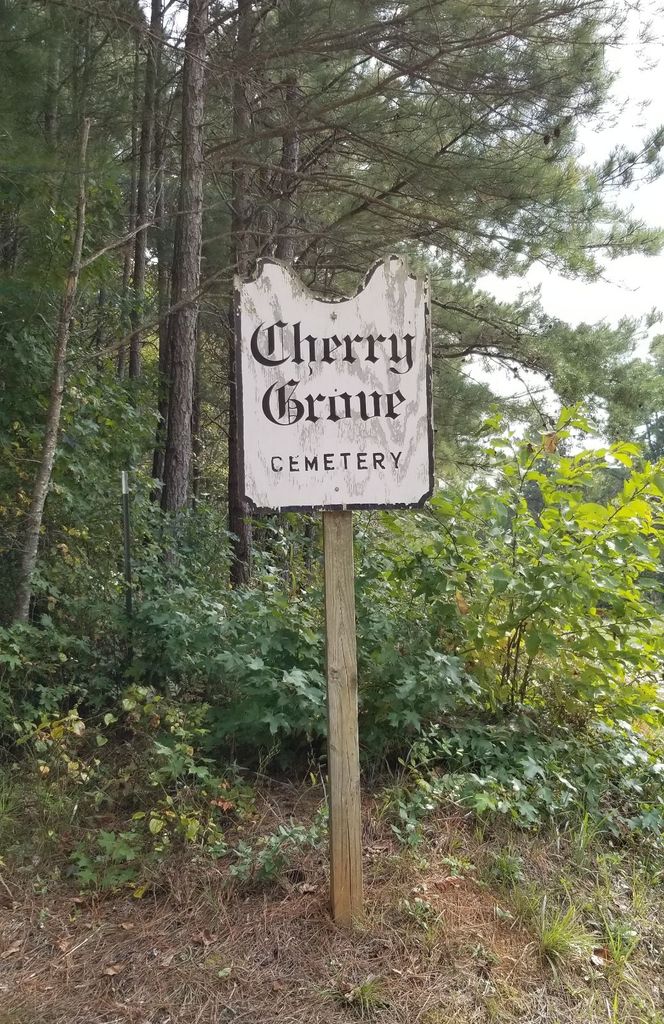
| Description | : | At the end of the Appalachian foothills in Alabama lies the community of Borden Springs. Down the road a few miles was an area called Palestine. This is where the settlers Thomas Treadaway and his wife and family settled back in the 1850's. Family history tells us Thomas and his family ran a large plantation before the civil war. He donated an acre of land to the Baptist church in the 1800's. The place was called Cherry Grove. In the early 1900's a new school and church were built there. At this... Read More |
frequently asked questions (FAQ):
-
Where is Cherry Grove Cemetery?
Cherry Grove Cemetery is located at SR 49 Borden Springs, Cleburne County ,Alabama ,USA.
-
Cherry Grove Cemetery cemetery's updated grave count on graveviews.com?
0 memorials
-
Where are the coordinates of the Cherry Grove Cemetery?
Latitude: 33.9446983
Longitude: -85.4302979

Nearby Cemetories:
1. Cherry Grove Original Church Cemetery
Borden Springs, Cleburne County, USA
Coordinate: 33.9455986, -85.4349976
2. Baker Hill Cemetery
Tecumseh Furnace, Cherokee County, USA
Coordinate: 33.9618530, -85.4140871
3. Arrington Chapel Cemetery
Pleasant Gap, Cherokee County, USA
Coordinate: 33.9641991, -85.4586029
4. Church of Christ Cemetery
Borden Springs, Cleburne County, USA
Coordinate: 33.9218740, -85.4745850
5. John Borden Cemetery
Calhoun County, USA
Coordinate: 33.9214000, -85.4800000
6. Salem Baptist Church Cemetery
Bluffton, Cherokee County, USA
Coordinate: 34.0121994, -85.4449997
7. Mountain Creek Baptist Church Cemetery
Borden Wheeler Springs, Cleburne County, USA
Coordinate: 33.8810997, -85.3983002
8. Roe Cemetery
Cleburne County, USA
Coordinate: 33.8689003, -85.3918991
9. Mount Pleasant Cemetery
Pleasant Gap, Cherokee County, USA
Coordinate: 33.9783470, -85.5242420
10. Pleasant Gap Cemetery
Pleasant Gap, Cherokee County, USA
Coordinate: 33.9916992, -85.5216980
11. Union Grove Cemetery
Rock Run, Cherokee County, USA
Coordinate: 34.0158005, -85.4972000
12. Philadelphia Baptist Church Cemetery
Vigo, Calhoun County, USA
Coordinate: 33.9413986, -85.5466995
13. Hendon Cemetery
Oak Level, Cleburne County, USA
Coordinate: 33.8499985, -85.4779968
14. Oak Level Methodist Church Cemetery
Oak Level, Cleburne County, USA
Coordinate: 33.8503418, -85.4796219
15. Wilson Family Cemetery
Vigo, Calhoun County, USA
Coordinate: 33.9130030, -85.5489440
16. Faith Baptist Church Cemetery
Piedmont, Calhoun County, USA
Coordinate: 33.9649620, -85.5547270
17. Steed Cemetery
Oak Level, Cleburne County, USA
Coordinate: 33.8572006, -85.5030975
18. Mars Hill Cemetery
Cleburne County, USA
Coordinate: 33.8394012, -85.4021988
19. Cross Roads Church Cemetery
Tallapoosa, Haralson County, USA
Coordinate: 33.8630830, -85.3430890
20. Buttram Cemetery
Oak Level, Cleburne County, USA
Coordinate: 33.8333970, -85.4205750
21. Graham Cemetery
Spring Garden, Cherokee County, USA
Coordinate: 33.9694140, -85.5616508
22. Williams Memory Garden
Tallapoosa, Haralson County, USA
Coordinate: 33.8592110, -85.3431470
23. Little Creek Cemetery
Haralson County, USA
Coordinate: 33.8861008, -85.3110962
24. Camp Creek Baptist Church Cemetery
Oak Level, Cleburne County, USA
Coordinate: 33.8286018, -85.4518967