
| Memorials | : | 1 |
| Location | : | Telford, Montgomery County, USA |
| Coordinate | : | 40.3227615, -75.3459320 |
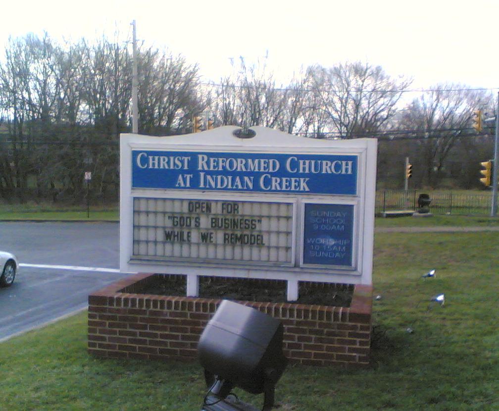
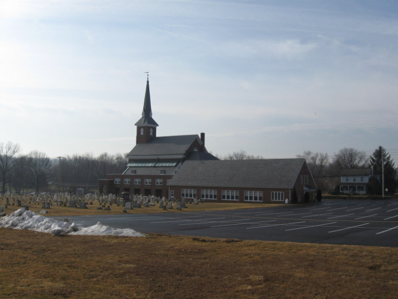
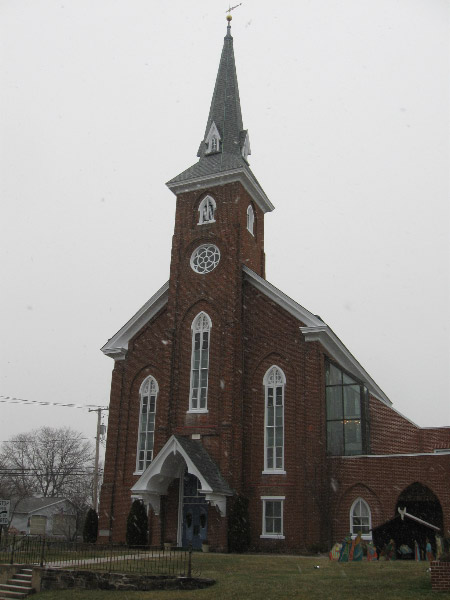
| Description | : | Formerly known as Indian Creek United Church of Christ, Indian Creek Reformed and Christ German Reformed Church. Located in Franconia Township. |
frequently asked questions (FAQ):
-
Where is Christ Reformed Church of Indian Creek Cemetery?
Christ Reformed Church of Indian Creek Cemetery is located at 171 Church Road Telford, Montgomery County ,Pennsylvania ,USA.
-
Christ Reformed Church of Indian Creek Cemetery cemetery's updated grave count on graveviews.com?
1 memorials
-
Where are the coordinates of the Christ Reformed Church of Indian Creek Cemetery?
Latitude: 40.3227615
Longitude: -75.3459320
Nearby Cemetories:
1. Fuhrman's Graveyard
Telford, Montgomery County, USA
Coordinate: 40.3201170, -75.3487760
2. Zion Memorial Gardens
Telford, Montgomery County, USA
Coordinate: 40.3193321, -75.3503876
3. Saint Paul's Lutheran Church Cemetery
Telford, Montgomery County, USA
Coordinate: 40.3208008, -75.3383026
4. Little Zion Lutheran Church Cemetery
Earlington, Montgomery County, USA
Coordinate: 40.3256000, -75.3621000
5. Trinity Cemetery
Telford, Bucks County, USA
Coordinate: 40.3288994, -75.3266983
6. Souderton Mennonite Church Cemetery
Souderton, Montgomery County, USA
Coordinate: 40.3088417, -75.3258209
7. Hillside Cemetery
Souderton, Montgomery County, USA
Coordinate: 40.3126373, -75.3215866
8. Franconia Mennonite Church Cemetery
Telford, Montgomery County, USA
Coordinate: 40.3054199, -75.3656693
9. Rockhill Mennonite Church Cemetery
Rock Hill, Bucks County, USA
Coordinate: 40.3366000, -75.3183000
10. Indian Creek Mennonite Cemetery
Franconia, Montgomery County, USA
Coordinate: 40.3032532, -75.3679428
11. Immanuel Leidys Church Cemetery
Souderton, Montgomery County, USA
Coordinate: 40.2994308, -75.3211517
12. Living Faith Fellowship Cemetery
Franconia, Montgomery County, USA
Coordinate: 40.2964516, -75.3674164
13. Calvary Church of Souderton Cemetery
Hilltown Township, Bucks County, USA
Coordinate: 40.3249283, -75.2982178
14. Delps Cemetery
Harleysville, Montgomery County, USA
Coordinate: 40.2971992, -75.3806000
15. Saint Philip Orthodox Cemetery
Souderton, Montgomery County, USA
Coordinate: 40.3116300, -75.2988600
16. Harley Family Cemetery
Harleysville, Montgomery County, USA
Coordinate: 40.2919006, -75.3750000
17. Jerusalem Union Cemetery
Almont, Bucks County, USA
Coordinate: 40.3685188, -75.3345108
18. Sellersville Cemetery
Sellersville, Bucks County, USA
Coordinate: 40.3628006, -75.3094025
19. Hatfield Cemetery
Hatfield, Montgomery County, USA
Coordinate: 40.2872050, -75.3010060
20. Saint Agnes Cemetery
Sellersville, Bucks County, USA
Coordinate: 40.3661000, -75.3113000
21. Salford Schwenkfelder Cemetery
Harleysville, Montgomery County, USA
Coordinate: 40.2698326, -75.3479843
22. Indian Creek Church of Brethren Cemetery
Harleysville, Montgomery County, USA
Coordinate: 40.2940102, -75.4046478
23. Mennonite Brethren in Christ Cemetery
Hatfield, Montgomery County, USA
Coordinate: 40.2786330, -75.3016030
24. Ridge Valley Cemetery
Sellersville, Bucks County, USA
Coordinate: 40.3741989, -75.3786011