
| Memorials | : | 0 |
| Location | : | Harleysville, Montgomery County, USA |
| Coordinate | : | 40.2919006, -75.3750000 |
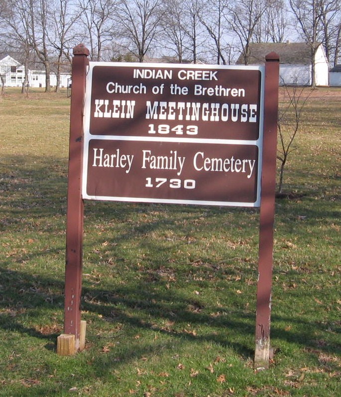
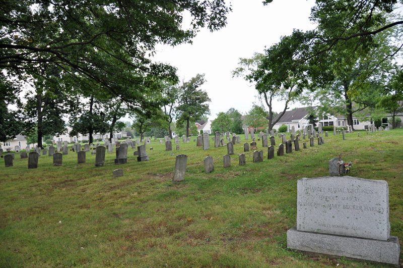
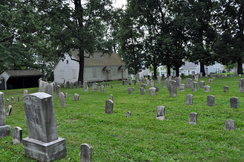
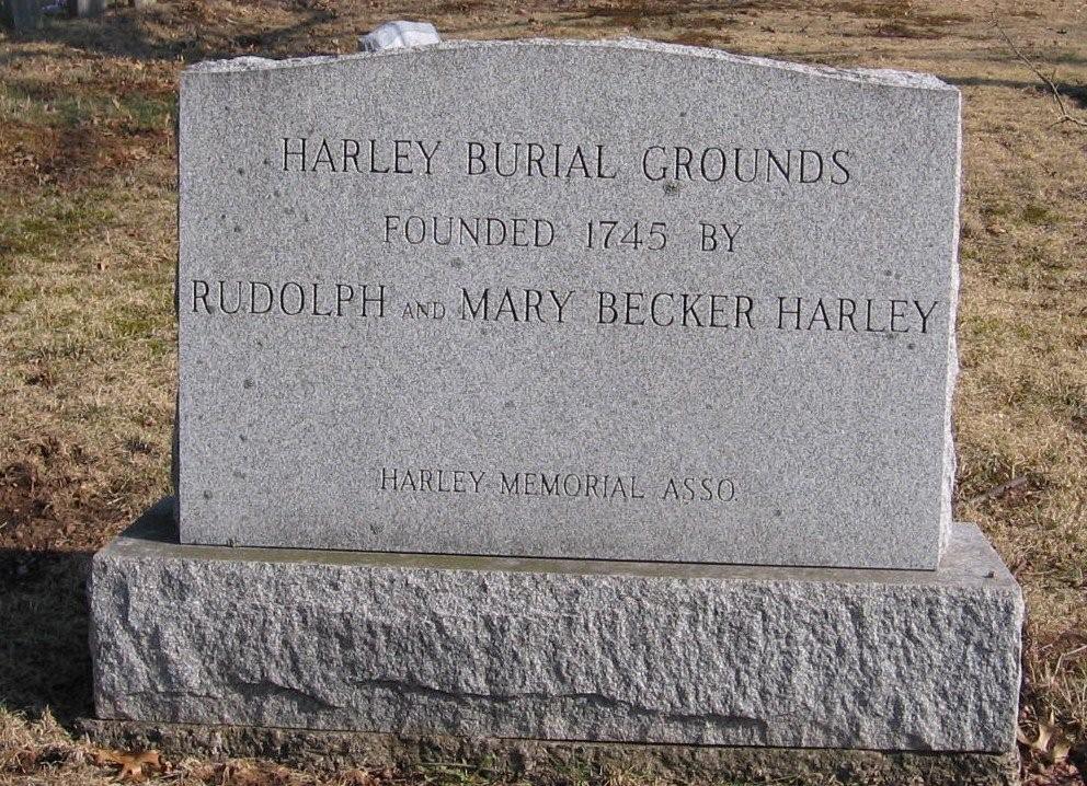
| Description | : | This cemetery is operated by the Indian Creek Church of the Brethren, which has its own cemetery about three miles away. |
frequently asked questions (FAQ):
-
Where is Harley Family Cemetery?
Harley Family Cemetery is located at Harleysville, Montgomery County ,Pennsylvania ,USA.
-
Harley Family Cemetery cemetery's updated grave count on graveviews.com?
0 memorials
-
Where are the coordinates of the Harley Family Cemetery?
Latitude: 40.2919006
Longitude: -75.3750000
Nearby Cemetories:
1. Delps Cemetery
Harleysville, Montgomery County, USA
Coordinate: 40.2971992, -75.3806000
2. Living Faith Fellowship Cemetery
Franconia, Montgomery County, USA
Coordinate: 40.2964516, -75.3674164
3. Indian Creek Mennonite Cemetery
Franconia, Montgomery County, USA
Coordinate: 40.3032532, -75.3679428
4. Franconia Mennonite Church Cemetery
Telford, Montgomery County, USA
Coordinate: 40.3054199, -75.3656693
5. Indian Creek Church of Brethren Cemetery
Harleysville, Montgomery County, USA
Coordinate: 40.2940102, -75.4046478
6. Price Cemetery
Harleysville, Montgomery County, USA
Coordinate: 40.2896996, -75.4075012
7. Lower Salford Mennonite Cemetery
Harleysville, Montgomery County, USA
Coordinate: 40.2762489, -75.4020920
8. Salford Schwenkfelder Cemetery
Harleysville, Montgomery County, USA
Coordinate: 40.2698326, -75.3479843
9. Zion Memorial Gardens
Telford, Montgomery County, USA
Coordinate: 40.3193321, -75.3503876
10. Fuhrman's Graveyard
Telford, Montgomery County, USA
Coordinate: 40.3201170, -75.3487760
11. Little Zion Lutheran Church Cemetery
Earlington, Montgomery County, USA
Coordinate: 40.3256000, -75.3621000
12. Haman Cemetery
Schwenksville, Montgomery County, USA
Coordinate: 40.2789116, -75.4203186
13. Christ Reformed Church of Indian Creek Cemetery
Telford, Montgomery County, USA
Coordinate: 40.3227615, -75.3459320
14. Lederach Burial Ground
Lower Salford Township, Montgomery County, USA
Coordinate: 40.2583930, -75.4008600
15. Saint Paul's Lutheran Church Cemetery
Telford, Montgomery County, USA
Coordinate: 40.3208008, -75.3383026
16. Souderton Mennonite Church Cemetery
Souderton, Montgomery County, USA
Coordinate: 40.3088417, -75.3258209
17. Immanuel Leidys Church Cemetery
Souderton, Montgomery County, USA
Coordinate: 40.2994308, -75.3211517
18. Reiff's Church Cemetery
Skippack, Montgomery County, USA
Coordinate: 40.2499410, -75.3728810
19. Christ Lutheran Church Cemetery
Kulpsville, Montgomery County, USA
Coordinate: 40.2522392, -75.3527908
20. United Church of Christ Cemetery
Kulpsville, Montgomery County, USA
Coordinate: 40.2512970, -75.3530807
21. Hillside Cemetery
Souderton, Montgomery County, USA
Coordinate: 40.3126373, -75.3215866
22. Tennis-Lukens Cemetery
Hatboro, Montgomery County, USA
Coordinate: 40.2613640, -75.3296661
23. Towamencin Mennonite Churchyard
Kulpsville, Montgomery County, USA
Coordinate: 40.2486382, -75.3470993
24. Church of the Holy Spirit Memorial Garden
Harleysville, Montgomery County, USA
Coordinate: 40.3134910, -75.4363990