
| Memorials | : | 736 |
| Location | : | Nellie, Coshocton County, USA |
| Coordinate | : | 40.3436012, -82.0505981 |
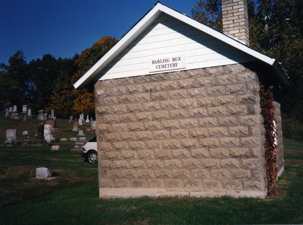
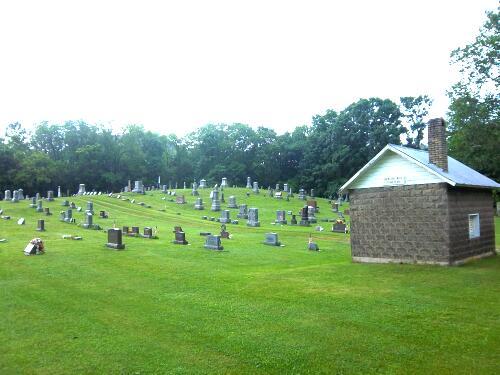
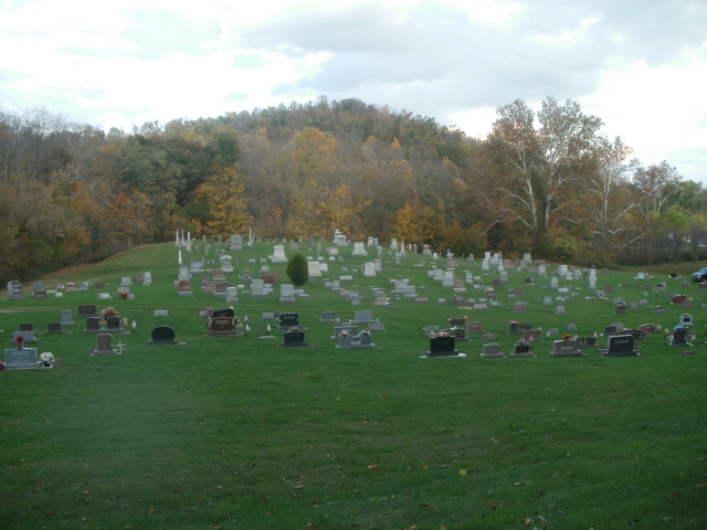
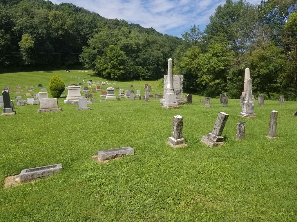
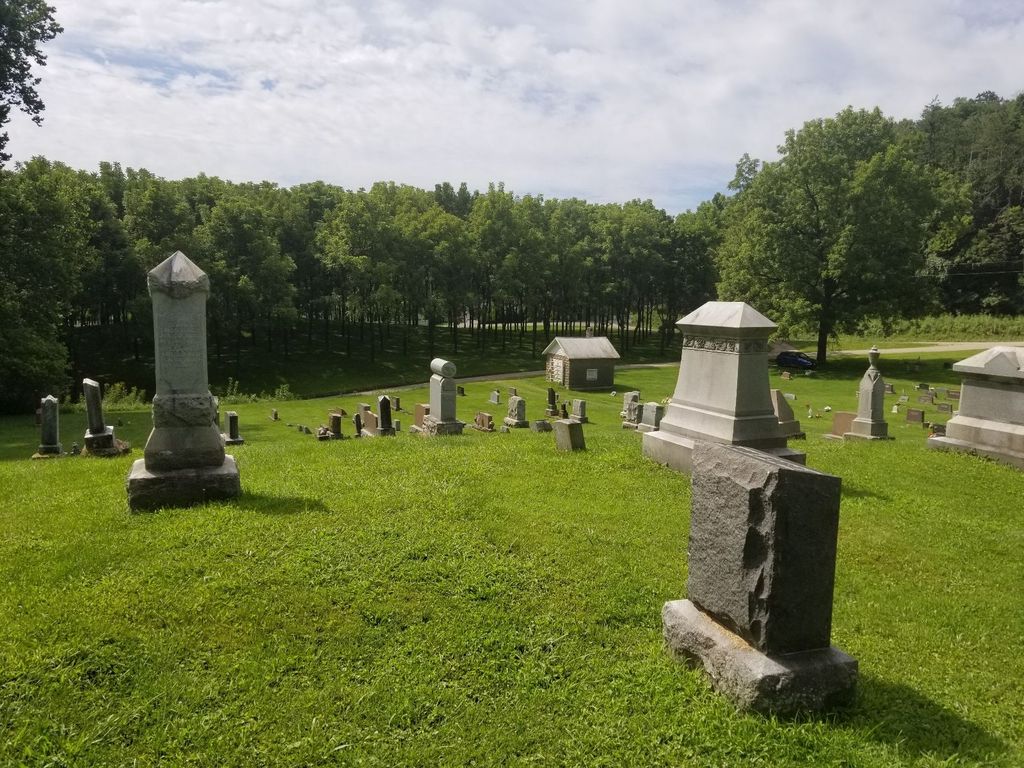
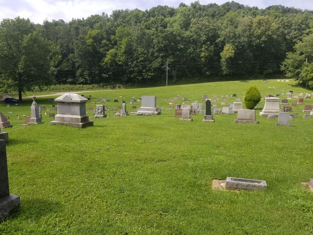
| Description | : | The cemetery is located on the northeast corner of the intersection of Township Road 1240 and Township Road 340. The cemetery is located in Jefferson Township, Coshocton County, Ohio, and is # 2259 (Nellie Cemetery) and # 14519 (Darling Run Cemetery) in “Ohio Cemeteries 1803-2003”, compiled by the Ohio Genealogical Society. The cemetery is registered with the Ohio Division of Real Estate and Professional Licensing (ODRE) as Darling Run with registration license number CGR.0000982968. The U.S. Geological Survey (USGS) Geographic Names Information System (GNIS) feature ID for the cemetery is 1043797 (Nellie Cemetery). |
frequently asked questions (FAQ):
-
Where is Darling Run Cemetery?
Darling Run Cemetery is located at Township Road 1240 Nellie, Coshocton County ,Ohio , 43844USA.
-
Darling Run Cemetery cemetery's updated grave count on graveviews.com?
736 memorials
-
Where are the coordinates of the Darling Run Cemetery?
Latitude: 40.3436012
Longitude: -82.0505981
Nearby Cemetories:
1. Butler East Cemetery
Nellie, Coshocton County, USA
Coordinate: 40.3514580, -82.0818970
2. Mohawk Methodist Church Cemetery
Mohawk Village, Coshocton County, USA
Coordinate: 40.3182290, -82.0724610
3. Bethel Cemetery
Warsaw, Coshocton County, USA
Coordinate: 40.3615800, -82.0165150
4. Valley View Cemetery
Warsaw, Coshocton County, USA
Coordinate: 40.3255997, -82.0139008
5. Jefferson Presbyterian Cemetery
Warsaw, Coshocton County, USA
Coordinate: 40.3200690, -82.0165291
6. Butler West Cemetery
Nellie, Coshocton County, USA
Coordinate: 40.3523620, -82.0961490
7. Bateman Cemetery
Warsaw, Coshocton County, USA
Coordinate: 40.3483840, -81.9876370
8. Saint Elizabeth Mission Cemetery
Spring Mountain, Coshocton County, USA
Coordinate: 40.3817900, -82.0108300
9. Honey Run Cemetery
Walhonding, Coshocton County, USA
Coordinate: 40.3711014, -82.1175003
10. Christian Church Cemetery
Warsaw, Coshocton County, USA
Coordinate: 40.3250000, -82.1230000
11. Antioch Cemetery
Coshocton County, USA
Coordinate: 40.3046989, -81.9933014
12. Weatherwax Cemetery
Clark, Coshocton County, USA
Coordinate: 40.3839560, -81.9918080
13. Spring Mountain Cemetery
Spring Mountain, Coshocton County, USA
Coordinate: 40.4053800, -82.0439000
14. Bucklew Cemetery
Metham, Coshocton County, USA
Coordinate: 40.3849983, -81.9858017
15. McKee Cemetery
Walhonding, Coshocton County, USA
Coordinate: 40.3817123, -82.1190115
16. Mikesell Cemetery
West Bedford, Coshocton County, USA
Coordinate: 40.2882500, -82.0963240
17. Blooming Grove Cemetery
Randle, Coshocton County, USA
Coordinate: 40.3017006, -81.9843979
18. Mohawk Baptist Church Cemetery
Nellie, Coshocton County, USA
Coordinate: 40.2941380, -82.1107120
19. Wilson Chapel Cemetery
Nellie, Coshocton County, USA
Coordinate: 40.3017690, -82.1207660
20. Walhonding Cemetery
Walhonding, Coshocton County, USA
Coordinate: 40.3627800, -82.1411700
21. Dutch Run Cemetery
Tiverton Township, Coshocton County, USA
Coordinate: 40.4021988, -82.1072006
22. Mount Zion Methodist Church Cemetery
Metham, Coshocton County, USA
Coordinate: 40.3559580, -81.9522140
23. Blissfield Cemetery
Blissfield, Coshocton County, USA
Coordinate: 40.3927994, -81.9728012
24. Waring Cemetery
Metham, Coshocton County, USA
Coordinate: 40.3505580, -81.9470740