
| Memorials | : | 0 |
| Location | : | Boone County, USA |
| Coordinate | : | 39.1183160, -92.2430560 |
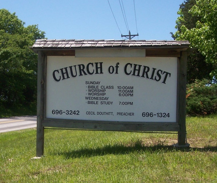
| Description | : | Located West of Hallsville, Boone Co. Mo - just around the corner from Red Top Church on the Blacktop. |
frequently asked questions (FAQ):
-
Where is Church of Christ Cemetery?
Church of Christ Cemetery is located at Boone County ,Missouri ,USA.
-
Church of Christ Cemetery cemetery's updated grave count on graveviews.com?
0 memorials
-
Where are the coordinates of the Church of Christ Cemetery?
Latitude: 39.1183160
Longitude: -92.2430560

Nearby Cemetories:
1. Red Top Cemetery
Hallsville, Boone County, USA
Coordinate: 39.1201400, -92.2419000
2. Friendship Churchyard
Hallsville, Boone County, USA
Coordinate: 39.0978000, -92.2897900
3. Palmer Family Cemetery
Sturgeon, Boone County, USA
Coordinate: 39.1666718, -92.2712555
4. Ruth Nowell Burial
Sturgeon, Boone County, USA
Coordinate: 39.1734026, -92.2921461
5. Mount Zion Church Methodist South Cemetery
Hallsville, Boone County, USA
Coordinate: 39.0694466, -92.1789856
6. Palmer Cemetery
Bourbon Township, Boone County, USA
Coordinate: 39.1880989, -92.2833023
7. Mount Moriah Cemetery
Boone County, USA
Coordinate: 39.0409000, -92.2397000
8. Locust Grove Baptist Church Cemetery
Sturgeon, Boone County, USA
Coordinate: 39.1698300, -92.3185900
9. Locust Grove Church Cemetery
Boone County, USA
Coordinate: 39.1702461, -92.3188477
10. Far West Cemetery
Sturgeon, Boone County, USA
Coordinate: 39.1986008, -92.2388992
11. Fountain Cemetery
Boone County, USA
Coordinate: 39.1963997, -92.2118988
12. Phillips Cemetery #2
Stephens, Boone County, USA
Coordinate: 39.0366448, -92.2633459
13. Naylor Cemetery
Riggs, Boone County, USA
Coordinate: 39.1589012, -92.3368988
14. Union Church Cemetery
Centralia, Boone County, USA
Coordinate: 39.1749992, -92.1635971
15. Pleasant Grove Cemetery
Boone County, USA
Coordinate: 39.1514015, -92.1436005
16. Wade Cemetery
Hinton, Boone County, USA
Coordinate: 39.0648003, -92.3293686
17. Grandview Baptist Church Cemetery
Murry, Boone County, USA
Coordinate: 39.0445200, -92.1668800
18. Searcy Cemetery
Hinton, Boone County, USA
Coordinate: 39.0793915, -92.3542633
19. Union Cumberland Presbyterian Church Cemetery
Riggs, Boone County, USA
Coordinate: 39.1716309, -92.3455200
20. Mount Hope Baptist Cemetery
Columbia, Boone County, USA
Coordinate: 39.0222200, -92.2313300
21. Oakland Church Cemetery
Columbia, Boone County, USA
Coordinate: 39.0299340, -92.2932260
22. Rocky Fork Baptist Church Cemetery
Hinton, Boone County, USA
Coordinate: 39.0536308, -92.3411484
23. Mount Horeb Cemetery
Sturgeon, Boone County, USA
Coordinate: 39.2158012, -92.2842026
24. German Cemetery
Boone County, USA
Coordinate: 39.1418991, -92.1121979