
| Memorials | : | 1 |
| Location | : | Kansas City, Clay County, USA |
| Coordinate | : | 39.1852600, -94.5399800 |
frequently asked questions (FAQ):
-
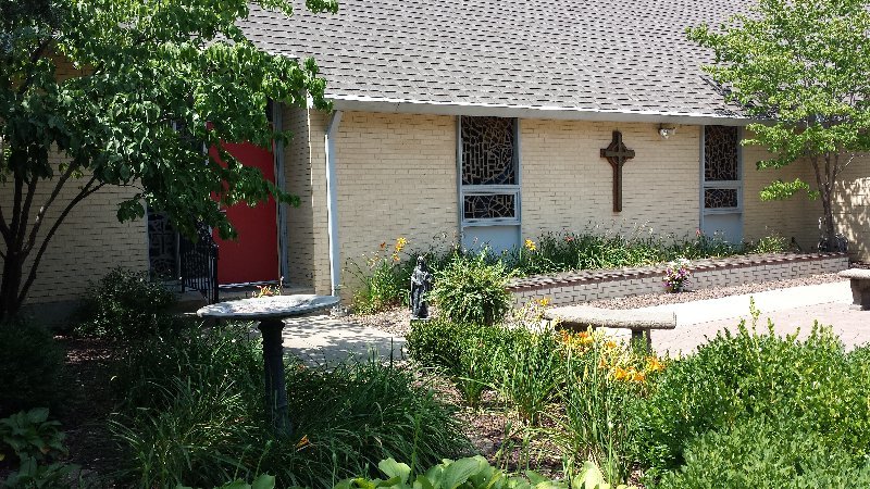
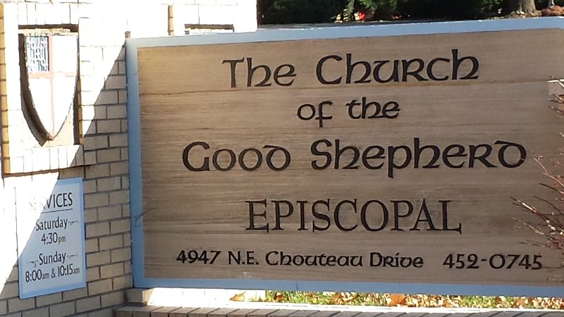
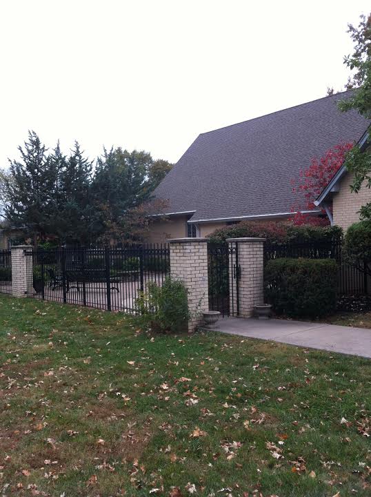
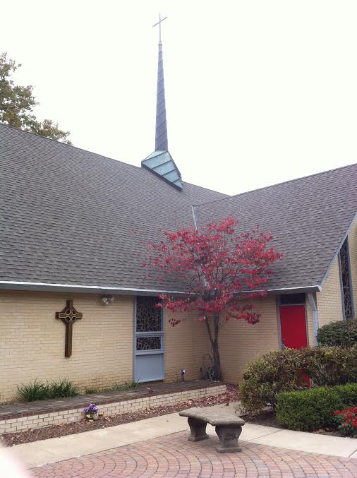
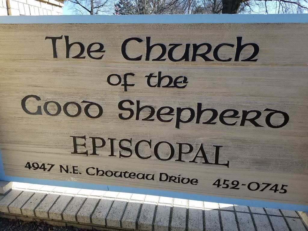
Where is Church of the Good Shepherd Episcopal Columbarium?
Church of the Good Shepherd Episcopal Columbarium is located at 4947 NE Chouteau Drive Kansas City, Clay County ,Missouri ,USA.
-
Church of the Good Shepherd Episcopal Columbarium cemetery's updated grave count on graveviews.com?
1 memorials
-
Where are the coordinates of the Church of the Good Shepherd Episcopal Columbarium?
Latitude: 39.1852600
Longitude: -94.5399800
Nearby Cemetories:
1. Antioch Community Church Columbarium
Kansas City, Clay County, USA
Coordinate: 39.1813695, -94.5483659
2. North Cross Methodist Church Memorial Garden
Kansas City, Clay County, USA
Coordinate: 39.1806410, -94.5635200
3. Ricketts Cemetery
Kansas City, Clay County, USA
Coordinate: 39.1638718, -94.5430145
4. New Stark Cemetery
Gladstone, Clay County, USA
Coordinate: 39.2056007, -94.5291977
5. Fountain Waller Cemetery
Gladstone, Clay County, USA
Coordinate: 39.2078700, -94.5258500
6. Big Shoal Cemetery
Gladstone, Clay County, USA
Coordinate: 39.2098503, -94.5307312
7. White Chapel Memorial Gardens
Gladstone, Clay County, USA
Coordinate: 39.2111015, -94.5372009
8. McMurry United Methodist Church Columbarium
Kansas City, Clay County, USA
Coordinate: 39.1967380, -94.5066140
9. Roberts Cemetery
Clay County, USA
Coordinate: 39.1581600, -94.5235900
10. Starks Cemetery
Clay County, USA
Coordinate: 39.2150210, -94.5464510
11. Rogers Cemetery
Clay County, USA
Coordinate: 39.1805992, -94.4903030
12. Crowley Cemetery
Kansas City, Clay County, USA
Coordinate: 39.1800003, -94.4897003
13. Faubion Cemetery
Gladstone, Clay County, USA
Coordinate: 39.2246017, -94.5617981
14. Old German Cemetery
Kansas City, Clay County, USA
Coordinate: 39.1885300, -94.6010100
15. East Slope Memorial Gardens
Riverside, Platte County, USA
Coordinate: 39.1859320, -94.6124980
16. Saint Matthew's Cemetery
Riverside, Platte County, USA
Coordinate: 39.1861153, -94.6130142
17. John and Elizabeth Brenner Memorial Cemetery
Riverside, Platte County, USA
Coordinate: 39.1819801, -94.6135178
18. Pence Cemetery
Pleasant Valley, Clay County, USA
Coordinate: 39.2308006, -94.4899979
19. Minneville Cemetery
Minaville, Clay County, USA
Coordinate: 39.1671906, -94.4616928
20. Craig Cemetery
Clay County, USA
Coordinate: 39.2477112, -94.5638733
21. Davidson Cemetery
Kansas City, Clay County, USA
Coordinate: 39.2332993, -94.4794006
22. Gash Cemetery
Gashland, Clay County, USA
Coordinate: 39.2467613, -94.5848846
23. Adkins Family Cemetery
Liberty, Callaway County, USA
Coordinate: 39.2206840, -94.4579870
24. Adkins Family Cemetery
Liberty, Clay County, USA
Coordinate: 39.2206840, -94.4579870