
| Memorials | : | 0 |
| Location | : | Clay County, USA |
| Coordinate | : | 39.1581600, -94.5235900 |
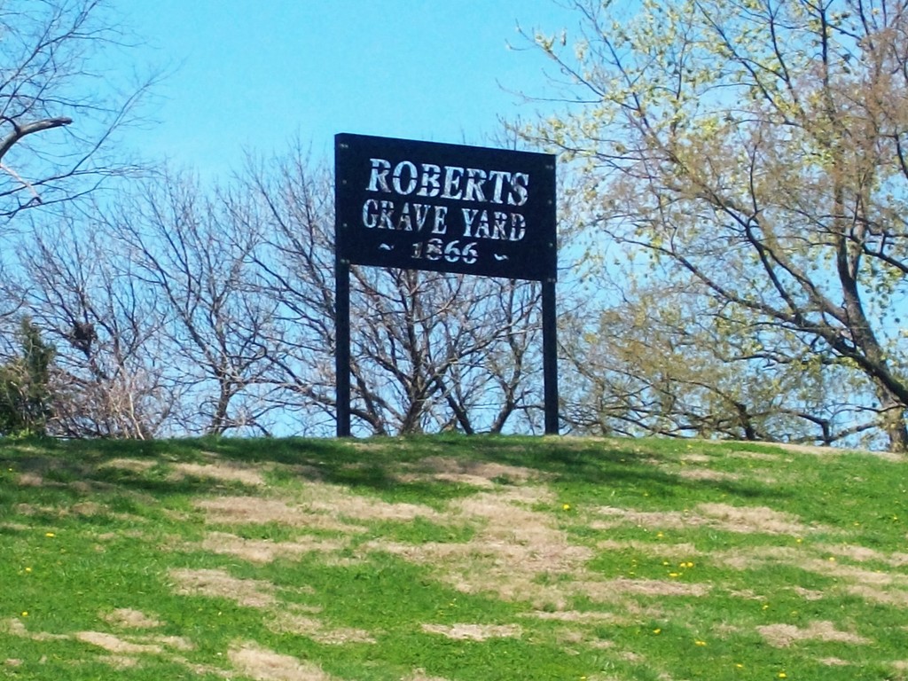
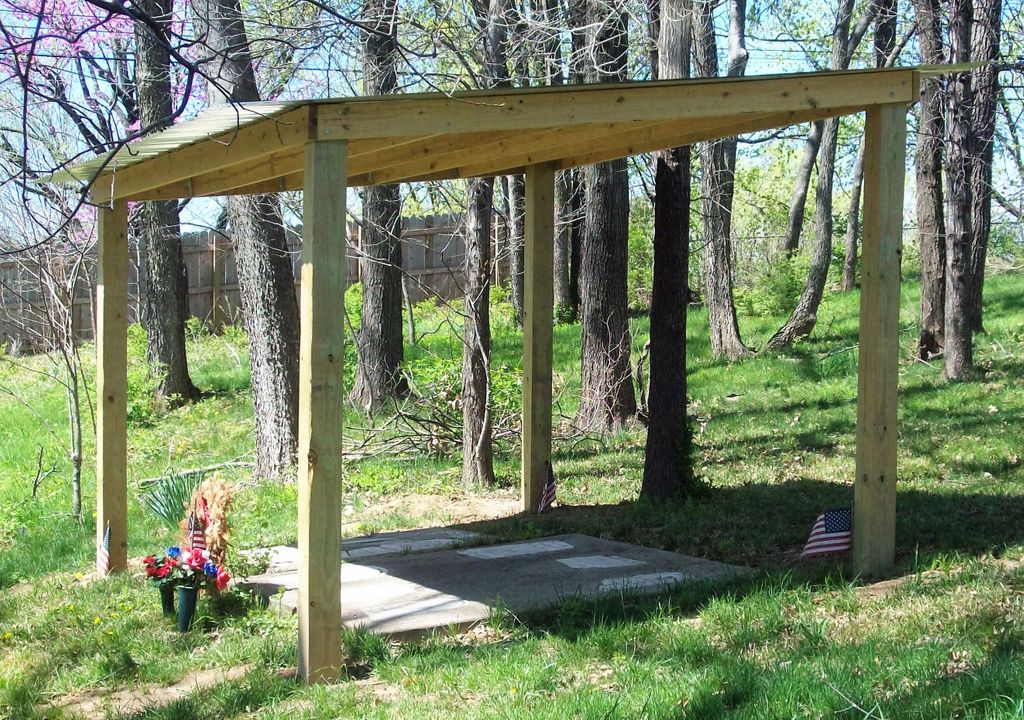
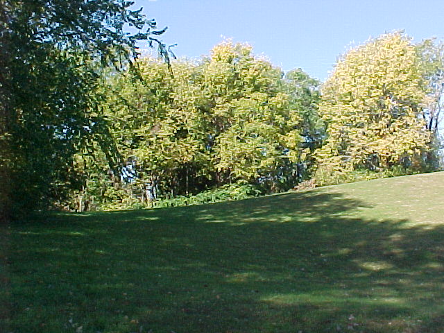
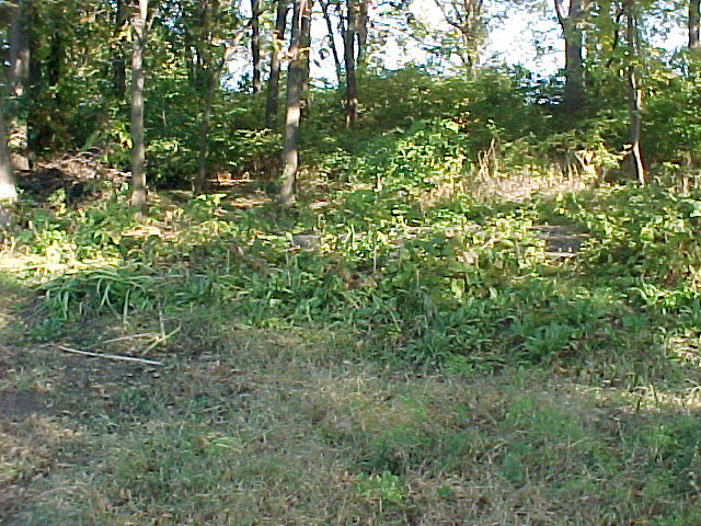
| Description | : | This cemetery is located in the extreme southern part of Clay county, MO. It is further described as being in Section 8, township 50N, Range 32W. The SW corner of the cemetery is located near the center of Section 8, 408 feet south and 609 feet west of the center of the section. It is 164 feet north-south and 116 foot east-west. it is near 35th Street North and North Chelsea, Kansas City North, Missouri. |
frequently asked questions (FAQ):
-
Where is Roberts Cemetery?
Roberts Cemetery is located at Clay County ,Missouri ,USA.
-
Roberts Cemetery cemetery's updated grave count on graveviews.com?
0 memorials
-
Where are the coordinates of the Roberts Cemetery?
Latitude: 39.1581600
Longitude: -94.5235900
Nearby Cemetories:
1. Ricketts Cemetery
Kansas City, Clay County, USA
Coordinate: 39.1638718, -94.5430145
2. Church of the Good Shepherd Episcopal Columbarium
Kansas City, Clay County, USA
Coordinate: 39.1852600, -94.5399800
3. Antioch Community Church Columbarium
Kansas City, Clay County, USA
Coordinate: 39.1813695, -94.5483659
4. Crowley Cemetery
Kansas City, Clay County, USA
Coordinate: 39.1800003, -94.4897003
5. Rogers Cemetery
Clay County, USA
Coordinate: 39.1805992, -94.4903030
6. North Cross Methodist Church Memorial Garden
Kansas City, Clay County, USA
Coordinate: 39.1806410, -94.5635200
7. McMurry United Methodist Church Columbarium
Kansas City, Clay County, USA
Coordinate: 39.1967380, -94.5066140
8. New Stark Cemetery
Gladstone, Clay County, USA
Coordinate: 39.2056007, -94.5291977
9. Minneville Cemetery
Minaville, Clay County, USA
Coordinate: 39.1671906, -94.4616928
10. Fountain Waller Cemetery
Gladstone, Clay County, USA
Coordinate: 39.2078700, -94.5258500
11. Sheffield Cemetery
Kansas City, Jackson County, USA
Coordinate: 39.1082993, -94.5083008
12. Big Shoal Cemetery
Gladstone, Clay County, USA
Coordinate: 39.2098503, -94.5307312
13. White Chapel Memorial Gardens
Gladstone, Clay County, USA
Coordinate: 39.2111015, -94.5372009
14. Starks Cemetery
Clay County, USA
Coordinate: 39.2150210, -94.5464510
15. Elmwood Cemetery
Kansas City, Jackson County, USA
Coordinate: 39.0960999, -94.5255966
16. Old German Cemetery
Kansas City, Clay County, USA
Coordinate: 39.1885300, -94.6010100
17. Reed Cemetery
Independence, Jackson County, USA
Coordinate: 39.1097400, -94.4593900
18. Lincoln Cemetery
Kansas City, Jackson County, USA
Coordinate: 39.0946999, -94.4805984
19. Saint Mary's Episcopal Church Columbarium
Kansas City, Jackson County, USA
Coordinate: 39.0982600, -94.5750300
20. Mount Washington Cemetery
Independence, Jackson County, USA
Coordinate: 39.0957985, -94.4757996
21. Faubion Cemetery
Gladstone, Clay County, USA
Coordinate: 39.2246017, -94.5617981
22. Mount Saint Mary Catholic Cemetery
Kansas City, Jackson County, USA
Coordinate: 39.0856018, -94.5357971
23. John and Elizabeth Brenner Memorial Cemetery
Riverside, Platte County, USA
Coordinate: 39.1819801, -94.6135178
24. East Slope Memorial Gardens
Riverside, Platte County, USA
Coordinate: 39.1859320, -94.6124980