
| Memorials | : | 184 |
| Location | : | Brighton, Brighton and Hove Unitary Authority, England |
| Coordinate | : | 50.8367290, -0.1115980 |
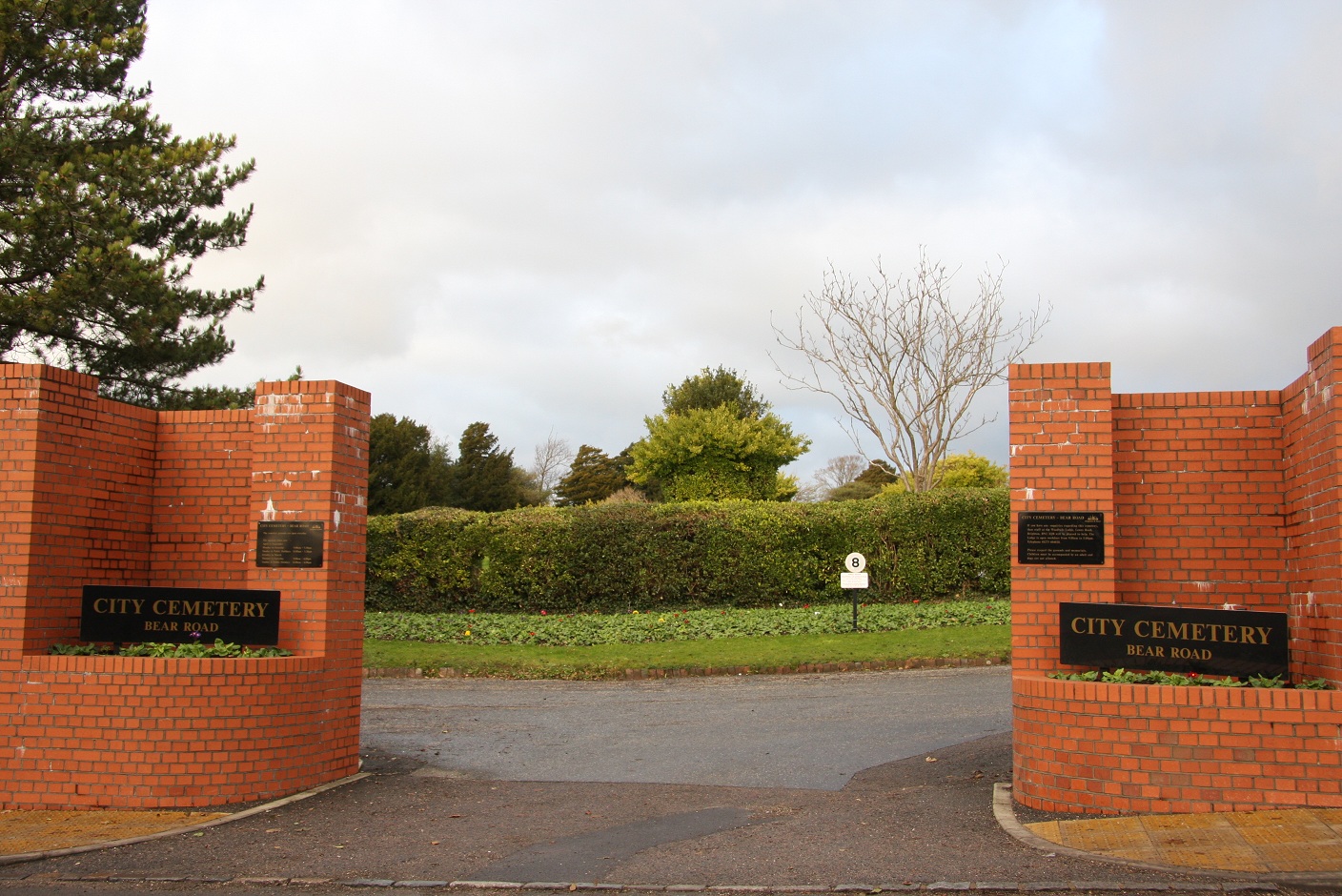
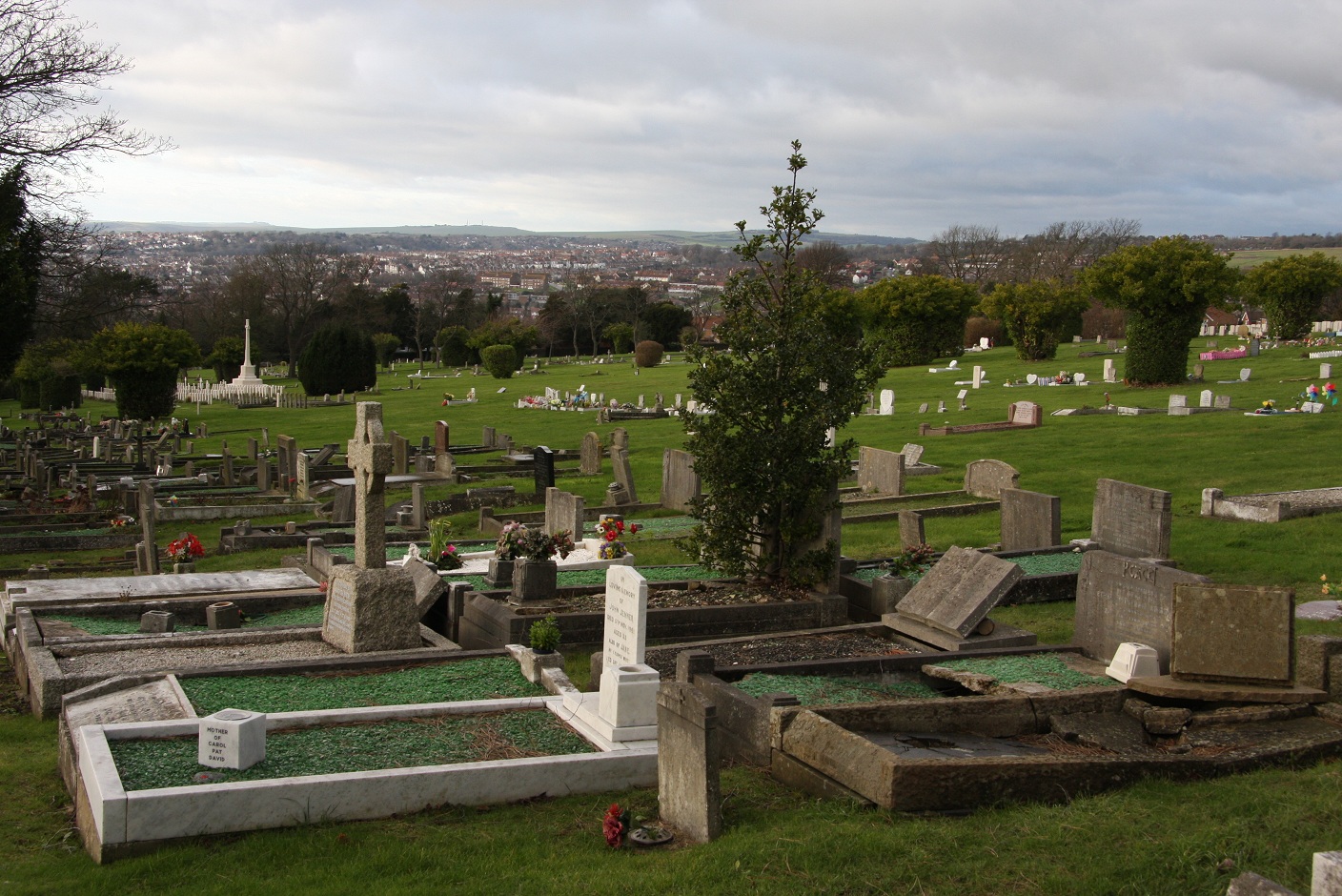
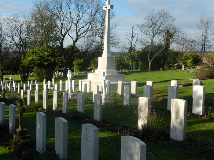
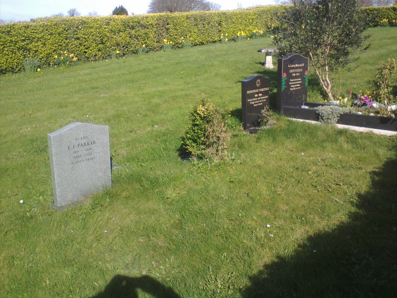
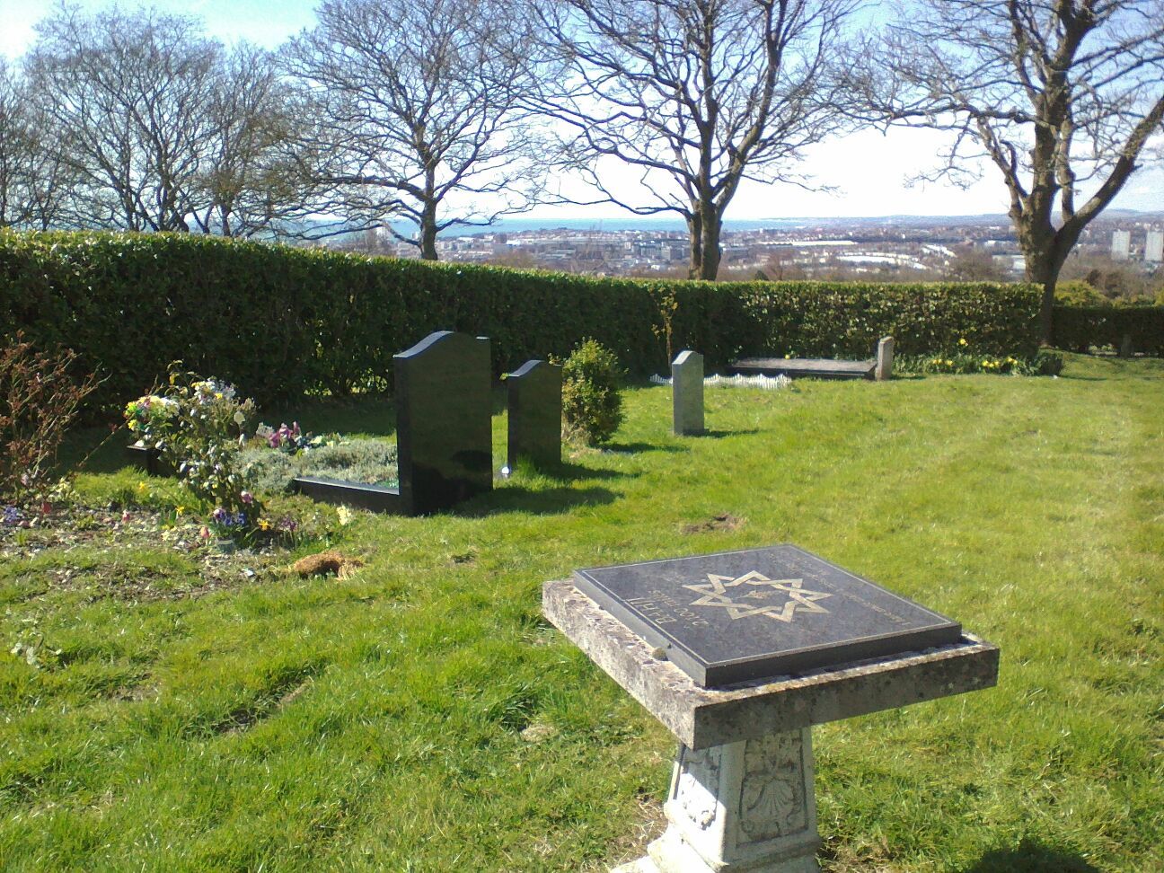
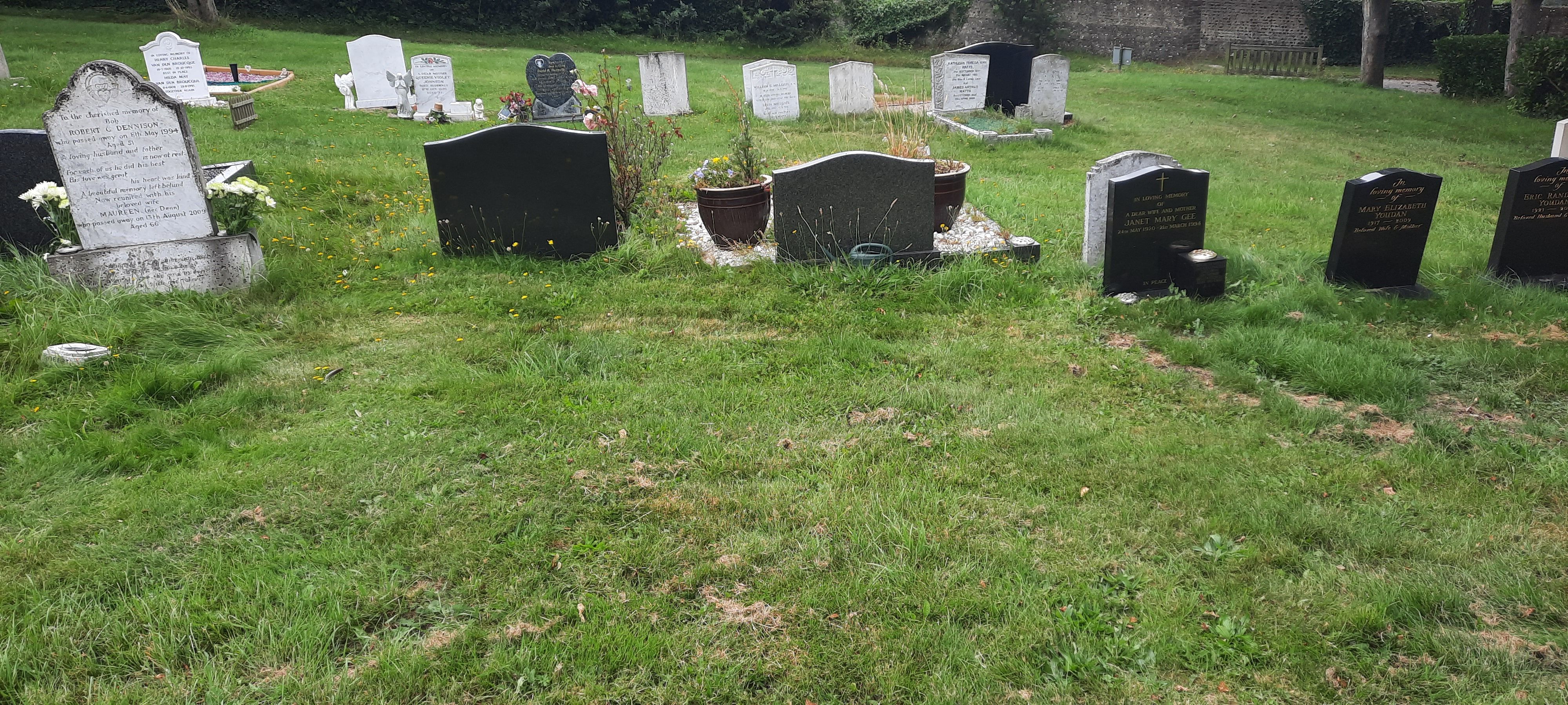
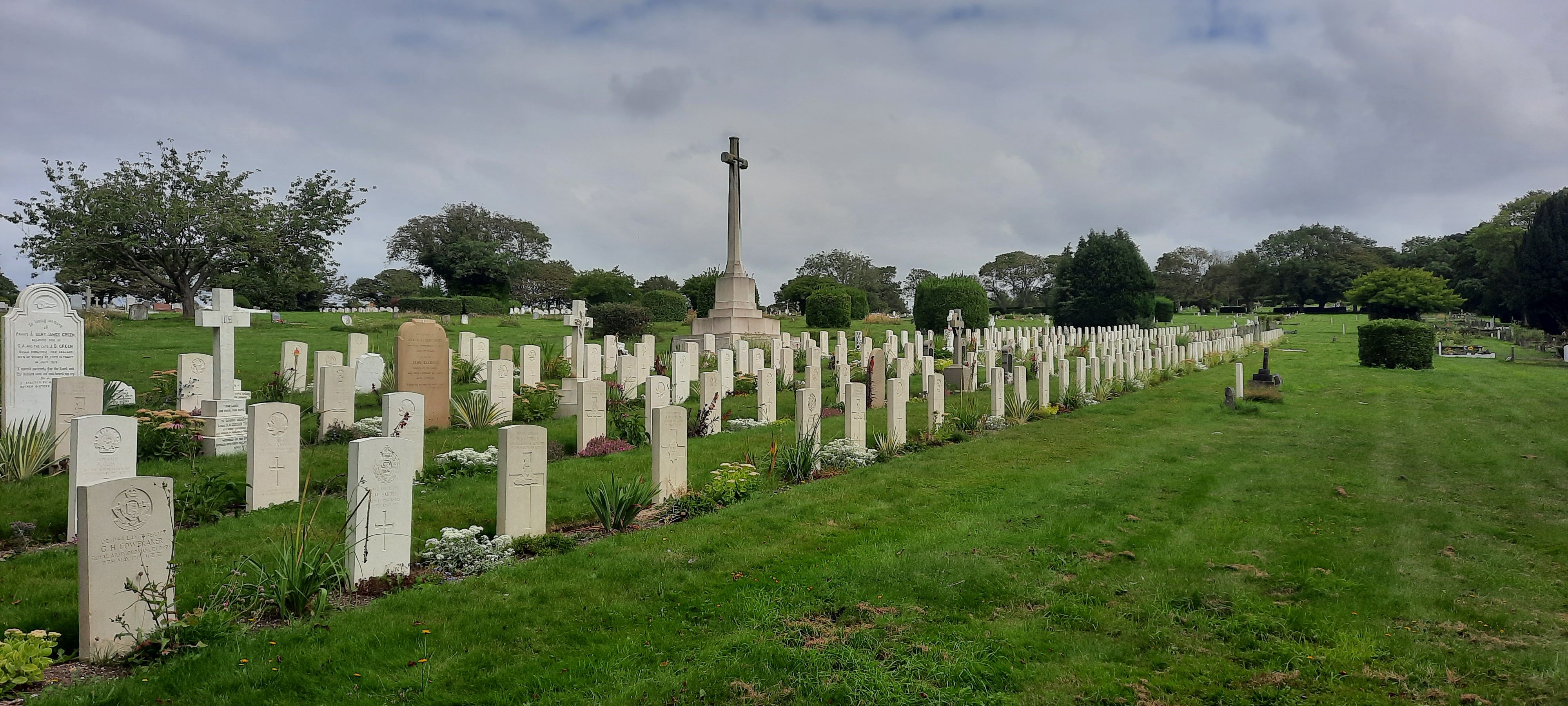
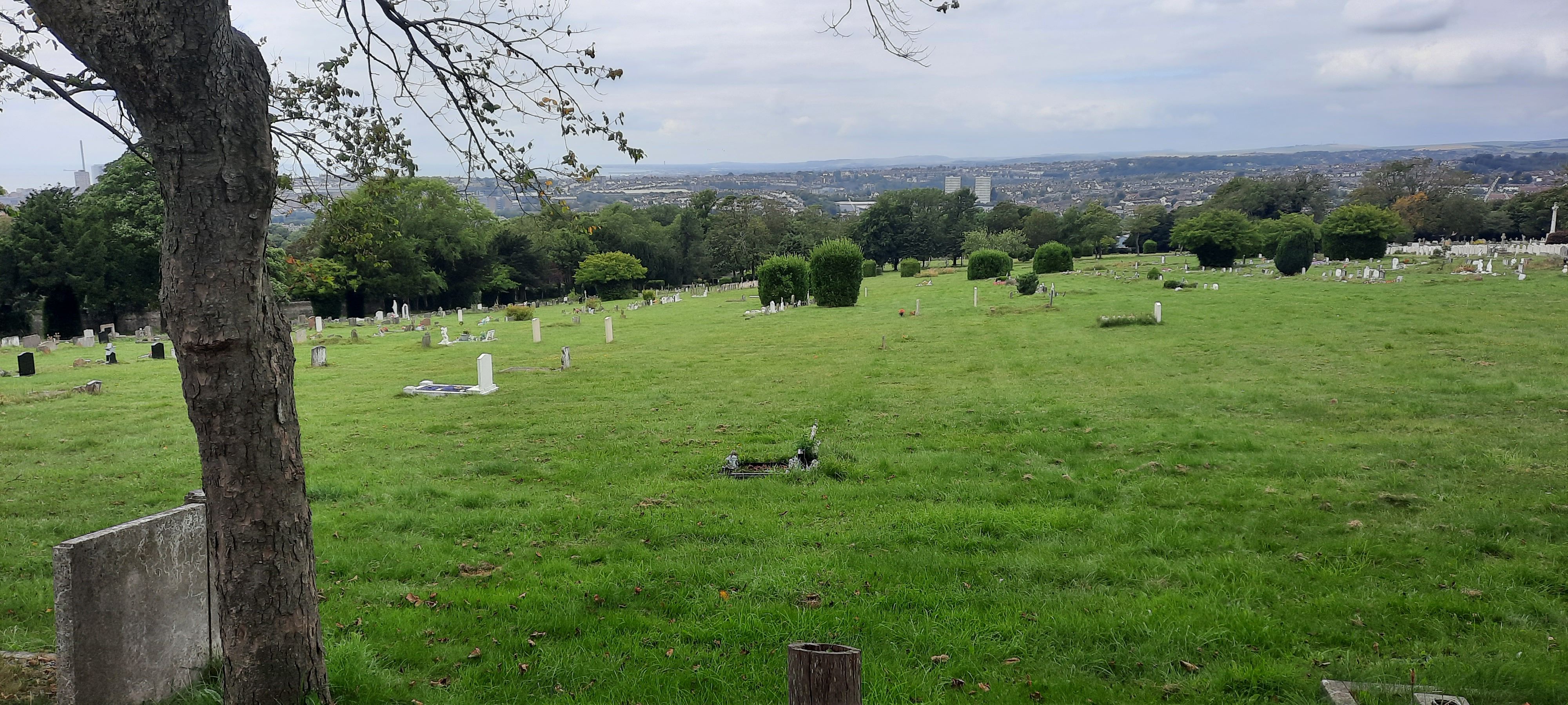
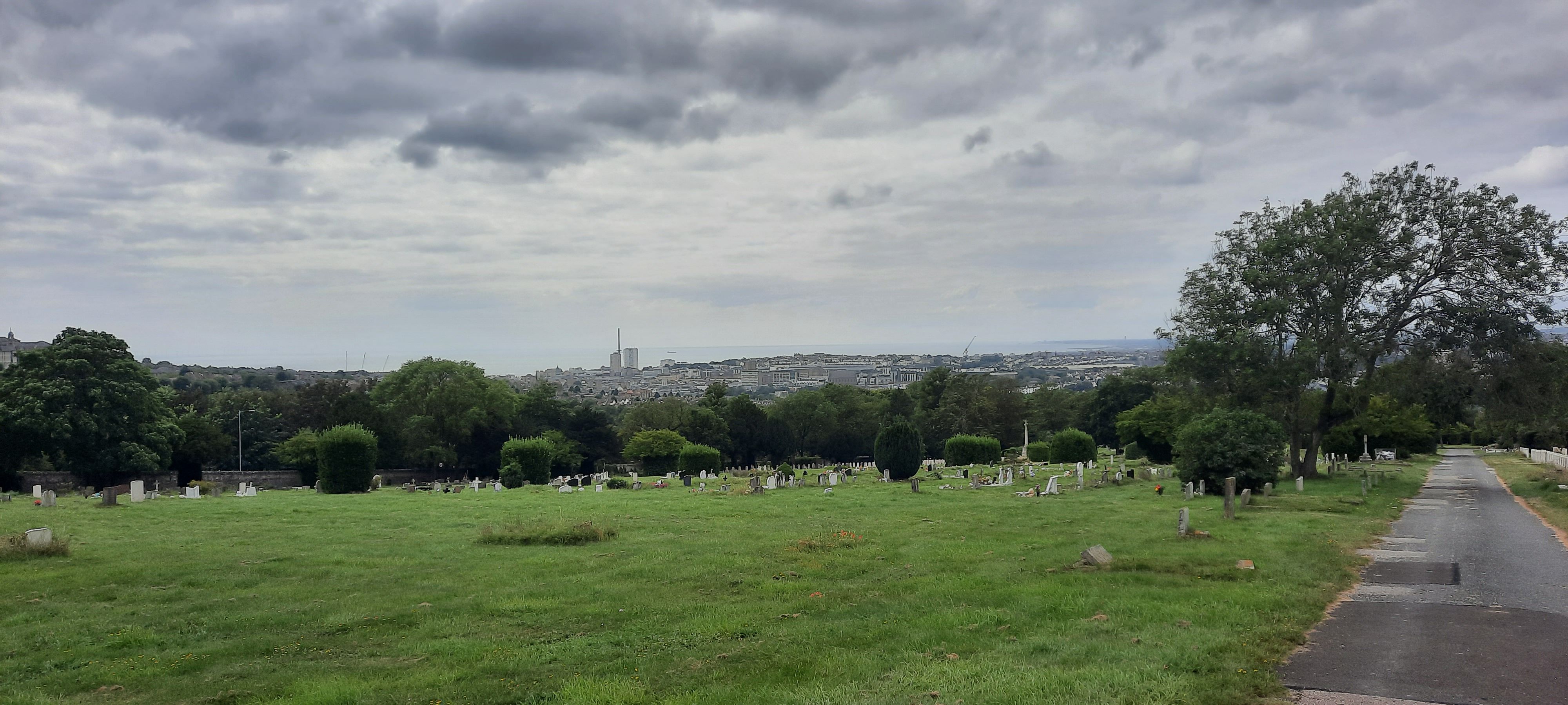
| Description | : | Opened in 1868 and covers 31.5 acres. This burial ground includes: Commonwealth War Graves World War 1 and World War 2 Blind Veterans UK (formally known as St Dunstan’s) Graves Angel’s Corner for the interment of babies and infants Woodland burial area a Baha'i section |
frequently asked questions (FAQ):
-
Where is City Cemetery?
City Cemetery is located at Bear Road Brighton, Brighton and Hove Unitary Authority ,East Sussex , BN2 4TAEngland.
-
City Cemetery cemetery's updated grave count on graveviews.com?
184 memorials
-
Where are the coordinates of the City Cemetery?
Latitude: 50.8367290
Longitude: -0.1115980
Nearby Cemetories:
1. Downs Crematorium
Brighton, Brighton and Hove Unitary Authority, England
Coordinate: 50.8364060, -0.1113840
2. Brighton Jewish Cemetery
Brighton, Brighton and Hove Unitary Authority, England
Coordinate: 50.8383460, -0.1091340
3. Brighton and Preston Cemetery
Brighton, Brighton and Hove Unitary Authority, England
Coordinate: 50.8341990, -0.1201990
4. Woodvale Cemetery and Crematorium
Brighton, Brighton and Hove Unitary Authority, England
Coordinate: 50.8373730, -0.1242390
5. Extra-Mural Cemetery
Brighton, Brighton and Hove Unitary Authority, England
Coordinate: 50.8373830, -0.1242430
6. St Martin with St Wilfrid and St Alban Church
Brighton, Brighton and Hove Unitary Authority, England
Coordinate: 50.8331604, -0.1287570
7. Florence Place Jewish Cemetery
Brighton, Brighton and Hove Unitary Authority, England
Coordinate: 50.8386221, -0.1325497
8. St. Peters
Brighton, Brighton and Hove Unitary Authority, England
Coordinate: 50.8282670, -0.1349480
9. St Bartholemew Church
Brighton, Brighton and Hove Unitary Authority, England
Coordinate: 50.8306541, -0.1369860
10. Lawn Memorial Cemetery
Woodingdean, Brighton and Hove Unitary Authority, England
Coordinate: 50.8350190, -0.0832060
11. Brighton War Memorial
Brighton, Brighton and Hove Unitary Authority, England
Coordinate: 50.8213300, -0.1369830
12. Hanover Chapel Burial Ground
Brighton, Brighton and Hove Unitary Authority, England
Coordinate: 50.8252920, -0.1423620
13. St. Nicholas Churchyard
Brighton, Brighton and Hove Unitary Authority, England
Coordinate: 50.8254356, -0.1448820
14. Queen Elizabeth II Field
Brighton, Brighton and Hove Unitary Authority, England
Coordinate: 50.8261382, -0.1456460
15. St. Nicholas Rest Garden
Brighton, Brighton and Hove Unitary Authority, England
Coordinate: 50.8255348, -0.1460460
16. Saint Peter's Churchyard
Preston, Brighton and Hove Unitary Authority, England
Coordinate: 50.8430580, -0.1506110
17. St. Michael's Churchyard
Brighton, Brighton and Hove Unitary Authority, England
Coordinate: 50.8274590, -0.1498000
18. Cardinal Newman Catholic School Cemetery
Hove, Brighton and Hove Unitary Authority, England
Coordinate: 50.8369870, -0.1586370
19. St Wulfran Churchyard
Ovingdean, Brighton and Hove Unitary Authority, England
Coordinate: 50.8157350, -0.0774420
20. St Andrew's Church
Hove, Brighton and Hove Unitary Authority, England
Coordinate: 50.8234900, -0.1569400
21. St Laurence Churchyard
Falmer, Lewes District, England
Coordinate: 50.8623110, -0.0762390
22. Stanmer Churchyard
Stanmer, Brighton and Hove Unitary Authority, England
Coordinate: 50.8702740, -0.1019400
23. All Saints Church
Hove, Brighton and Hove Unitary Authority, England
Coordinate: 50.8303800, -0.1672270
24. All Saints Churchyard
Patcham, Brighton and Hove Unitary Authority, England
Coordinate: 50.8665100, -0.1510800