
| Memorials | : | 0 |
| Location | : | Falmer, Lewes District, England |
| Coordinate | : | 50.8623110, -0.0762390 |
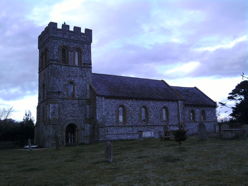
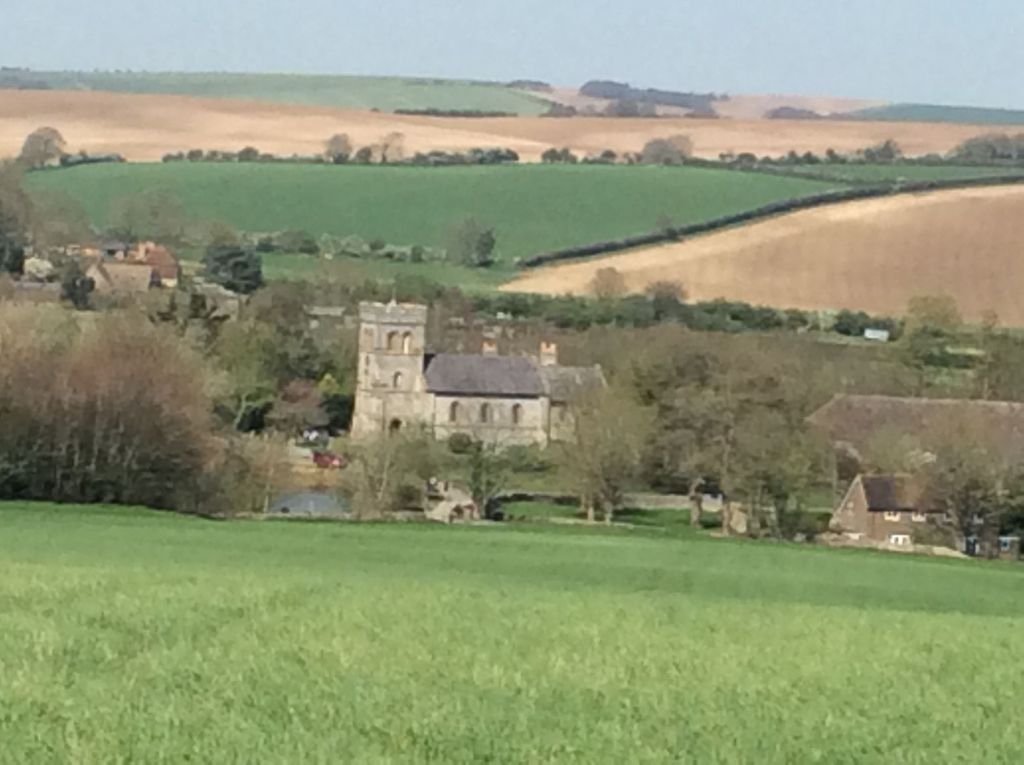
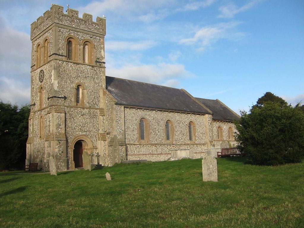
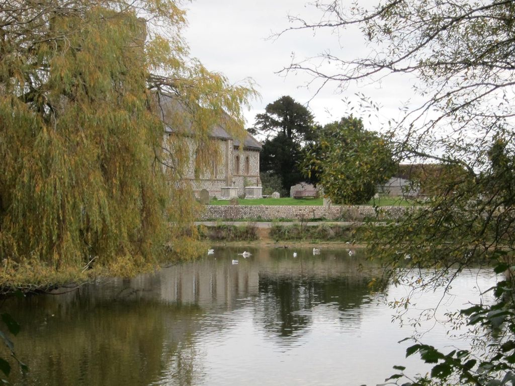
| Description | : | Falmer is a small village and civil parish in the Lewes District of East Sussex, England, lying between Brighton and Lewes, approximately five miles (8 km) north-east of the former. Falmer village is divided by the A27 road. North of the dual carriageway are a few houses and a pub, with a footbridge linking to the southern part of the village, where a large pond is encircled by cottages and the parish church, dedicated to St. Laurence. There is also a farm shop and (some distance away) a high school. The two halves of the village are also linked by a... Read More |
frequently asked questions (FAQ):
-
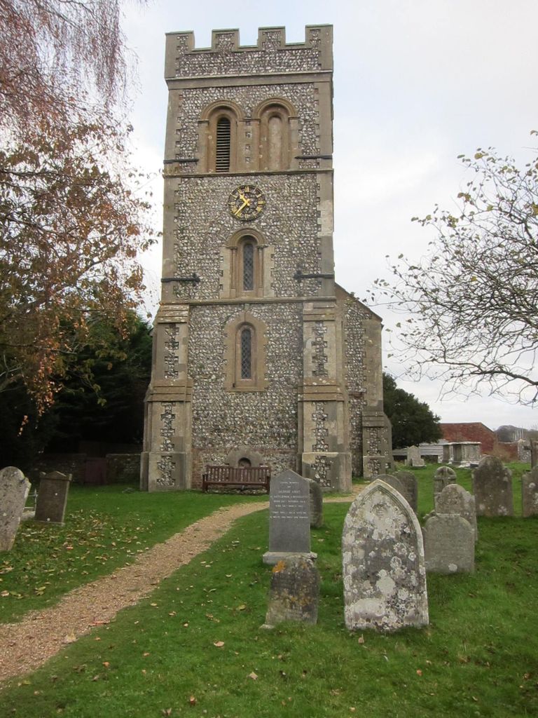
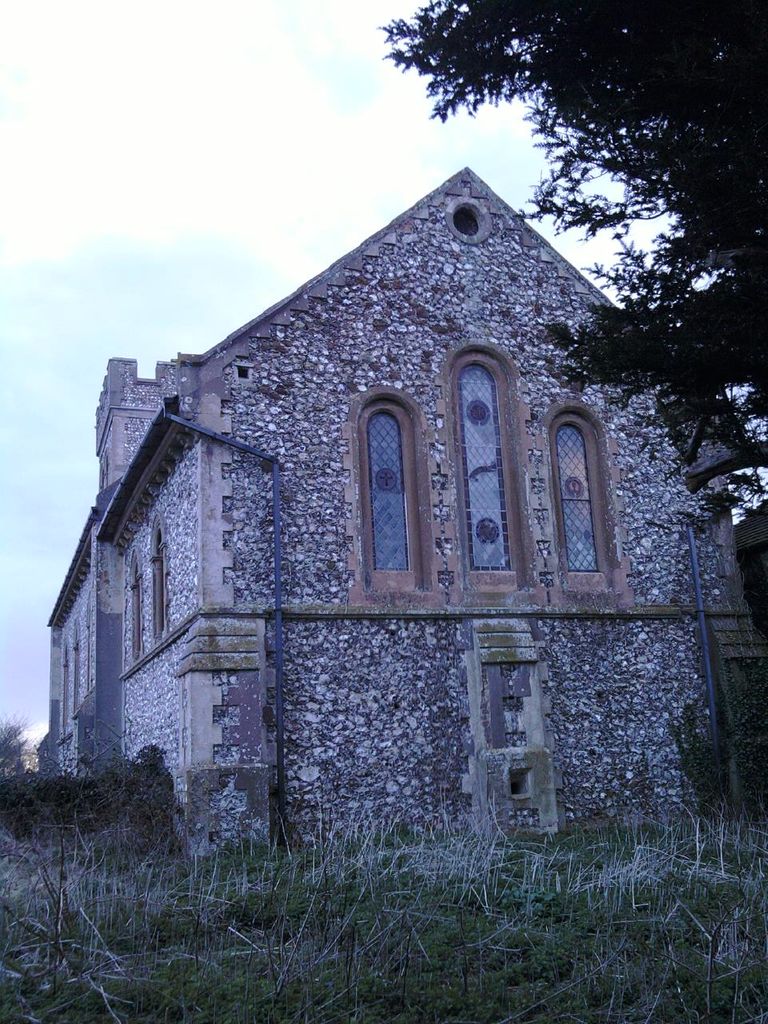
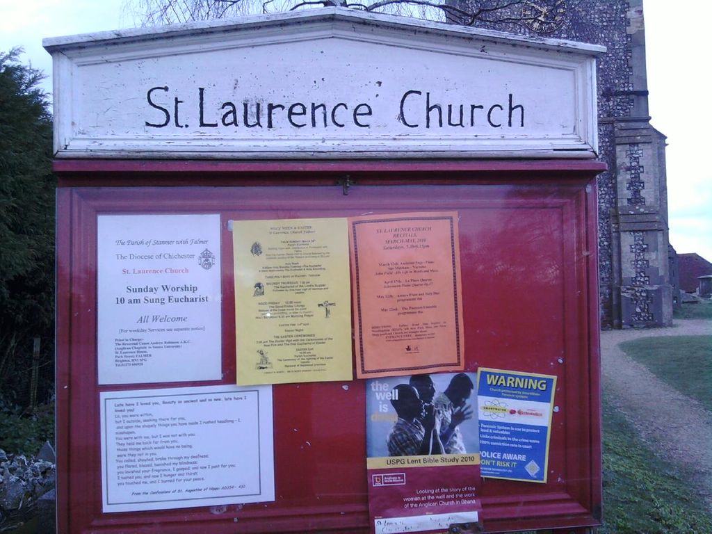
Where is St Laurence Churchyard?
St Laurence Churchyard is located at East Street Falmer, Lewes District ,East Sussex ,England.
-
St Laurence Churchyard cemetery's updated grave count on graveviews.com?
0 memorials
-
Where are the coordinates of the St Laurence Churchyard?
Latitude: 50.8623110
Longitude: -0.0762390

Nearby Cemetories:
1. Stanmer Churchyard
Stanmer, Brighton and Hove Unitary Authority, England
Coordinate: 50.8702740, -0.1019400
2. Lawn Memorial Cemetery
Woodingdean, Brighton and Hove Unitary Authority, England
Coordinate: 50.8350190, -0.0832060
3. Brighton Jewish Cemetery
Brighton, Brighton and Hove Unitary Authority, England
Coordinate: 50.8383460, -0.1091340
4. St Pancras Churchyard
Kingston, Lewes District, England
Coordinate: 50.8562900, -0.0245250
5. City Cemetery
Brighton, Brighton and Hove Unitary Authority, England
Coordinate: 50.8367290, -0.1115980
6. Downs Crematorium
Brighton, Brighton and Hove Unitary Authority, England
Coordinate: 50.8364060, -0.1113840
7. Extra-Mural Cemetery
Brighton, Brighton and Hove Unitary Authority, England
Coordinate: 50.8373830, -0.1242430
8. Woodvale Cemetery and Crematorium
Brighton, Brighton and Hove Unitary Authority, England
Coordinate: 50.8373730, -0.1242390
9. Brighton and Preston Cemetery
Brighton, Brighton and Hove Unitary Authority, England
Coordinate: 50.8341990, -0.1201990
10. Florence Place Jewish Cemetery
Brighton, Brighton and Hove Unitary Authority, England
Coordinate: 50.8386221, -0.1325497
11. St Michael and All Angels Churchyard
Plumpton, Lewes District, England
Coordinate: 50.9050700, -0.0717450
12. St Martin with St Wilfrid and St Alban Church
Brighton, Brighton and Hove Unitary Authority, England
Coordinate: 50.8331604, -0.1287570
13. HMP Lewes
Lewes District, England
Coordinate: 50.8729973, -0.0048753
14. St Martin Churchyard
Westmeston, Lewes District, England
Coordinate: 50.9066840, -0.0971980
15. St Wulfran Churchyard
Ovingdean, Brighton and Hove Unitary Authority, England
Coordinate: 50.8157350, -0.0774420
16. All Saints Churchyard
Patcham, Brighton and Hove Unitary Authority, England
Coordinate: 50.8665100, -0.1510800
17. Lewes Cemetery
Lewes, Lewes District, England
Coordinate: 50.8707680, -0.0017370
18. St Nicholas Churchyard
Iford, Lewes District, England
Coordinate: 50.8483860, -0.0007940
19. St Bartholemew Church
Brighton, Brighton and Hove Unitary Authority, England
Coordinate: 50.8306541, -0.1369860
20. Patcham Down Indian Forces Cremation Memorial
Patcham, Brighton and Hove Unitary Authority, England
Coordinate: 50.8841200, -0.1473900
21. St. Anne's Churchyard
Lewes, Lewes District, England
Coordinate: 50.8723390, 0.0017700
22. St. Peters
Brighton, Brighton and Hove Unitary Authority, England
Coordinate: 50.8282670, -0.1349480
23. Saint Peter's Churchyard
Preston, Brighton and Hove Unitary Authority, England
Coordinate: 50.8430580, -0.1506110
24. Southover Parish Church of St John the Baptist
Lewes, Lewes District, England
Coordinate: 50.8690840, 0.0062220