| Memorials | : | 2 |
| Location | : | Patcham, Brighton and Hove Unitary Authority, England |
| Coordinate | : | 50.8665100, -0.1510800 |
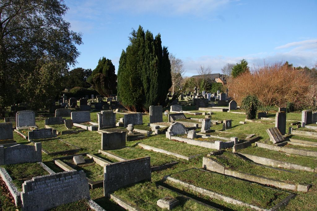
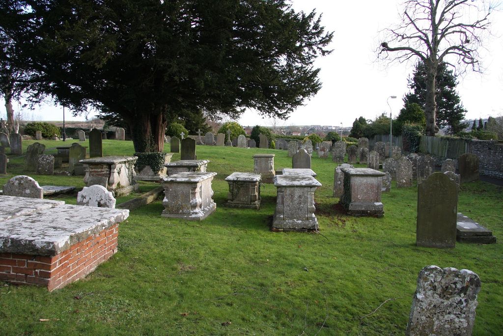
| Description | : | There are 2 Commonwealth burials of the 1914-18 war in the Churchyard. There are a further 14 Commonwealth burials of the 1939-45 war in the Extension. |
frequently asked questions (FAQ):
-
Where is All Saints Churchyard?
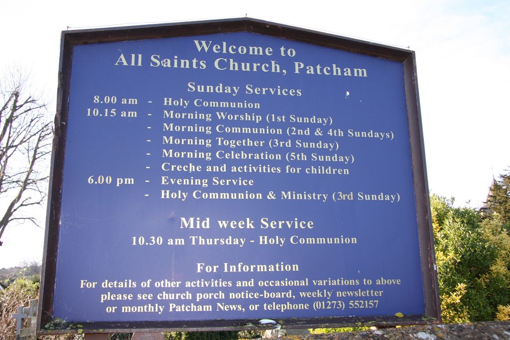
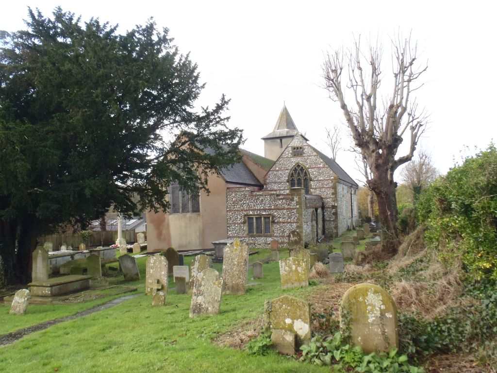
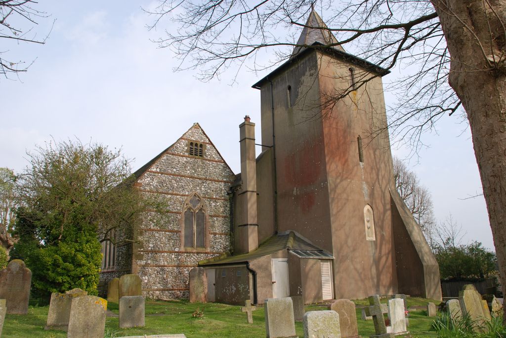
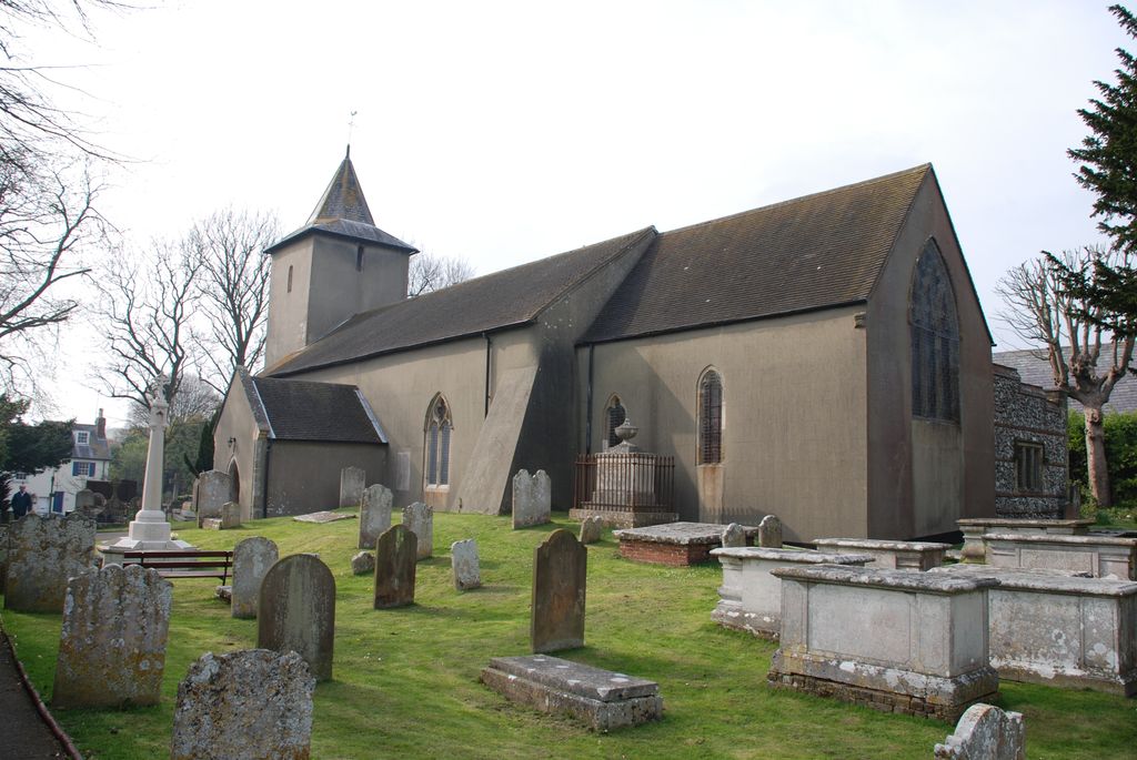
All Saints Churchyard is located at Church Hill Patcham, Brighton and Hove Unitary Authority ,East Sussex , BN1 8YEEngland.
-
All Saints Churchyard cemetery's updated grave count on graveviews.com?
2 memorials
-
Where are the coordinates of the All Saints Churchyard?
Latitude: 50.8665100
Longitude: -0.1510800
Nearby Cemetories:
1. Patcham Down Indian Forces Cremation Memorial
Patcham, Brighton and Hove Unitary Authority, England
Coordinate: 50.8841200, -0.1473900
2. Saint Peter's Churchyard
Preston, Brighton and Hove Unitary Authority, England
Coordinate: 50.8430580, -0.1506110
3. West Blatchington St. Peter Churchyard
Hove, Brighton and Hove Unitary Authority, England
Coordinate: 50.8472720, -0.1851550
4. Cardinal Newman Catholic School Cemetery
Hove, Brighton and Hove Unitary Authority, England
Coordinate: 50.8369870, -0.1586370
5. Florence Place Jewish Cemetery
Brighton, Brighton and Hove Unitary Authority, England
Coordinate: 50.8386221, -0.1325497
6. Stanmer Churchyard
Stanmer, Brighton and Hove Unitary Authority, England
Coordinate: 50.8702740, -0.1019400
7. Bishop Hannington Memorial Church
Hove, Brighton and Hove Unitary Authority, England
Coordinate: 50.8427530, -0.1871460
8. Church of the Transfiguration Churchyard
Pyecombe, Mid Sussex District, England
Coordinate: 50.8984590, -0.1642370
9. Extra-Mural Cemetery
Brighton, Brighton and Hove Unitary Authority, England
Coordinate: 50.8373830, -0.1242430
10. Woodvale Cemetery and Crematorium
Brighton, Brighton and Hove Unitary Authority, England
Coordinate: 50.8373730, -0.1242390
11. Saint Helen's Churchyard
Hangleton, Brighton and Hove Unitary Authority, England
Coordinate: 50.8510910, -0.2008410
12. St Martin with St Wilfrid and St Alban Church
Brighton, Brighton and Hove Unitary Authority, England
Coordinate: 50.8331604, -0.1287570
13. St Bartholemew Church
Brighton, Brighton and Hove Unitary Authority, England
Coordinate: 50.8306541, -0.1369860
14. All Saints Church
Hove, Brighton and Hove Unitary Authority, England
Coordinate: 50.8303800, -0.1672270
15. Brighton and Preston Cemetery
Brighton, Brighton and Hove Unitary Authority, England
Coordinate: 50.8341990, -0.1201990
16. Brighton Jewish Cemetery
Brighton, Brighton and Hove Unitary Authority, England
Coordinate: 50.8383460, -0.1091340
17. City Cemetery
Brighton, Brighton and Hove Unitary Authority, England
Coordinate: 50.8367290, -0.1115980
18. St. Michael's Churchyard
Brighton, Brighton and Hove Unitary Authority, England
Coordinate: 50.8274590, -0.1498000
19. Downs Crematorium
Brighton, Brighton and Hove Unitary Authority, England
Coordinate: 50.8364060, -0.1113840
20. Hove Cemetery
Hove, Brighton and Hove Unitary Authority, England
Coordinate: 50.8383100, -0.1950460
21. St. Peters
Brighton, Brighton and Hove Unitary Authority, England
Coordinate: 50.8282670, -0.1349480
22. Queen Elizabeth II Field
Brighton, Brighton and Hove Unitary Authority, England
Coordinate: 50.8261382, -0.1456460
23. St Andrew the Old Churchyard
Hove, Brighton and Hove Unitary Authority, England
Coordinate: 50.8285760, -0.1750850
24. St. Nicholas Rest Garden
Brighton, Brighton and Hove Unitary Authority, England
Coordinate: 50.8255348, -0.1460460


