
| Memorials | : | 0 |
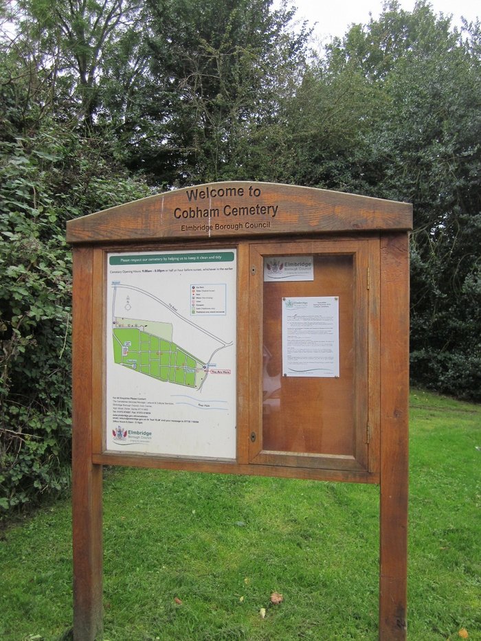
| Location | : | Cobham, Elmbridge Borough, England |
| Coordinate | : | 51.3204240, -0.3954060 |
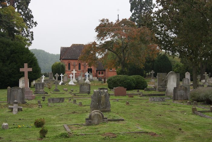
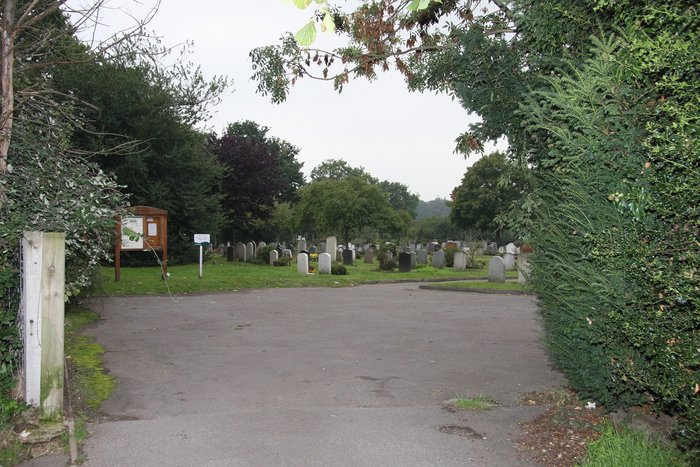
| Description | : | This cemetery, on the Tilt, half a mile South-East of Church Cobham, belongs to the Esher Urban Council. (from CWGC website) |
frequently asked questions (FAQ):
-
Where is Cobham Municipal Cemetery?
Cobham Municipal Cemetery is located at Cobham, Elmbridge Borough ,Surrey ,England.
-
Cobham Municipal Cemetery cemetery's updated grave count on graveviews.com?
0 memorials
-
Where are the coordinates of the Cobham Municipal Cemetery?
Latitude: 51.3204240
Longitude: -0.3954060
Nearby Cemetories:
1. St Marys Churchyard
Stoke D'Abernon, Elmbridge Borough, England
Coordinate: 51.3139230, -0.3812710
2. St Andrew Churchyard
Cobham, Elmbridge Borough, England
Coordinate: 51.3259580, -0.4114970
3. Yehudi Menuhin International School
Stoke D'Abernon, Elmbridge Borough, England
Coordinate: 51.3059170, -0.3775720
4. St. Matthew's Churchyard
Cobham, Elmbridge Borough, England
Coordinate: 51.3098290, -0.4335730
5. Randalls Park Cemetery and Crematorium
Leatherhead, Mole Valley District, England
Coordinate: 51.3035290, -0.3469730
6. All Saints Churchyard
Little Bookham, Mole Valley District, England
Coordinate: 51.2826900, -0.3864790
7. St Mary Churchyard
Fetcham, Mole Valley District, England
Coordinate: 51.2881290, -0.3525500
8. Burvale Cemetery
Hersham, Elmbridge Borough, England
Coordinate: 51.3607100, -0.4142800
9. St Nicolas Parish Churchyard
Great Bookham, Mole Valley District, England
Coordinate: 51.2798220, -0.3739870
10. St. Peter's Churchyard
Hersham, Elmbridge Borough, England
Coordinate: 51.3641720, -0.4020110
11. St Lawrence Churchyard
Effingham, Guildford Borough, England
Coordinate: 51.2712010, -0.3984180
12. St Mary and St Nicholas Churchyard
Leatherhead, Mole Valley District, England
Coordinate: 51.2925810, -0.3269850
13. St Mary Churchyard
Byfleet, Woking Borough, England
Coordinate: 51.3328210, -0.4757360
14. Holy Trinity Churchyard
Claygate, Elmbridge Borough, England
Coordinate: 51.3588960, -0.3394210
15. All Saints Churchyard
Ockham, Guildford Borough, England
Coordinate: 51.2979900, -0.4710800
16. St George's Churchyard
Esher, Elmbridge Borough, England
Coordinate: 51.3692320, -0.3643740
17. Christ Church Churchyard
Esher, Elmbridge Borough, England
Coordinate: 51.3699989, -0.3669000
18. Wisley Church Churchyard
Wisley, Guildford Borough, England
Coordinate: 51.3257400, -0.4847130
19. St. Martin's Churchyard
East Horsley, Guildford Borough, England
Coordinate: 51.2638550, -0.4314040
20. St. Charles Borromeo Chapel
Weybridge, Elmbridge Borough, England
Coordinate: 51.3664280, -0.4597150
21. Polesden Lacey Estate Pet Cemetery
Great Bookham, Mole Valley District, England
Coordinate: 51.2592260, -0.3718640
22. Weybridge Cemetery
Weybridge, Elmbridge Borough, England
Coordinate: 51.3666540, -0.4639780
23. Polesden Lacey Estate
Great Bookham, Mole Valley District, England
Coordinate: 51.2591310, -0.3718630
24. St Mary Magdalen Churchyard
Ripley, Guildford Borough, England
Coordinate: 51.2992230, -0.4936400