
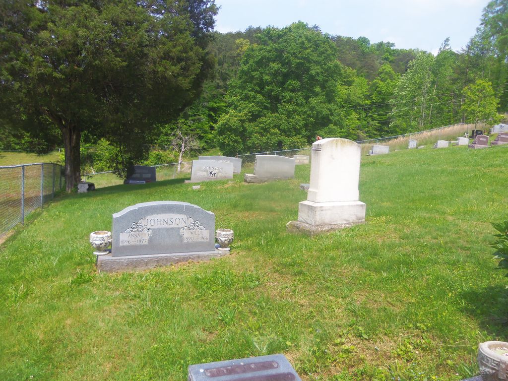
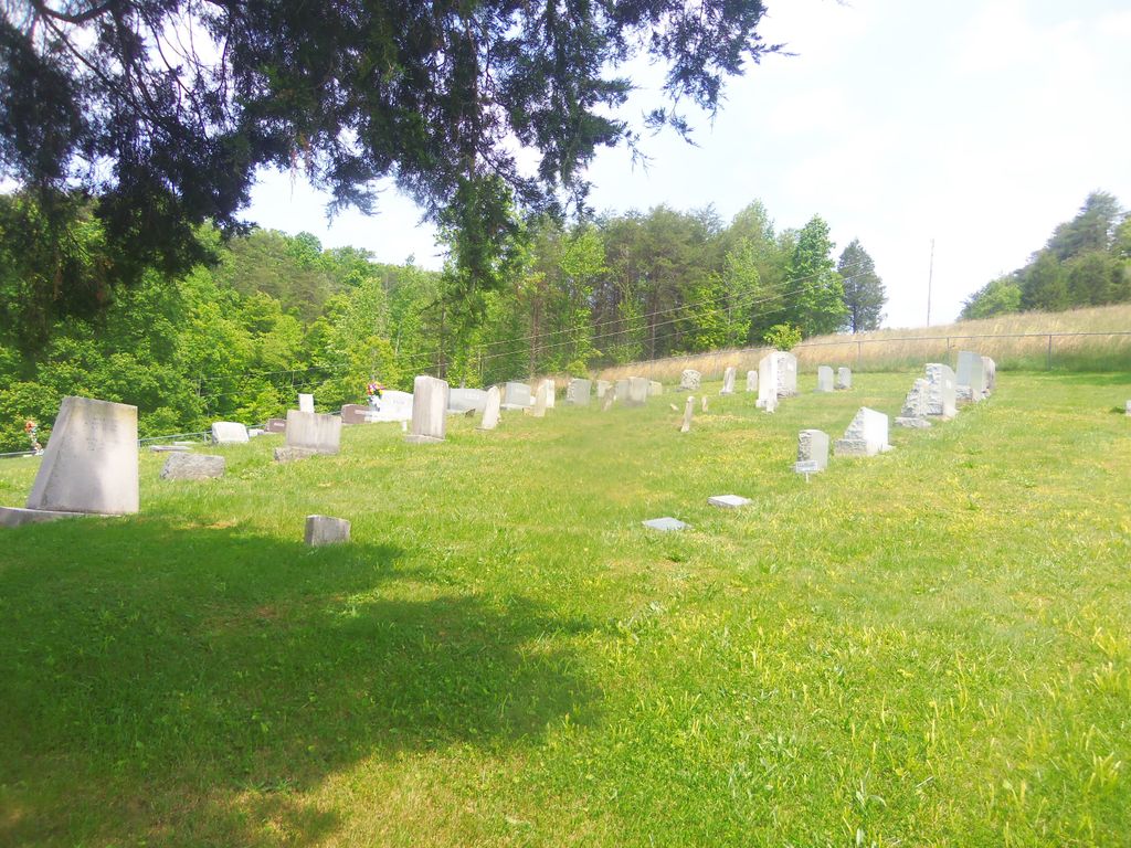
| Memorials | : | 13 |
| Location | : | Laurel Creek, Clay County, USA |
| Coordinate | : | 37.2351630, -83.7515670 |
| Description | : | This cemetery is located on the hill beside Brown Mission Church and Cemetery on Hwy 11. Turn into the Brown Mission Church driveway and follow the gravel road to the right beside the church to the cemetery on the hill. |
frequently asked questions (FAQ):
-
Where is Coldiron Cemetery?
Coldiron Cemetery is located at Laurel Creek, Clay County ,Kentucky ,USA.
-
Coldiron Cemetery cemetery's updated grave count on graveviews.com?
13 memorials
-
Where are the coordinates of the Coldiron Cemetery?
Latitude: 37.2351630
Longitude: -83.7515670
Nearby Cemetories:
1. Brown Mission Cemetery
Laurel Creek, Clay County, USA
Coordinate: 37.2349800, -83.7527600
2. Lunsford and Morgan Cemetery
Laurel Creek, Clay County, USA
Coordinate: 37.2346300, -83.7530600
3. Hensley Cemetery
Laurel Creek, Clay County, USA
Coordinate: 37.2381800, -83.7609800
4. Collins Cemetery #3
Laurel Creek, Clay County, USA
Coordinate: 37.2472000, -83.7513600
5. Chicken Branch Cemetery
Mill Pond, Clay County, USA
Coordinate: 37.2220660, -83.7666400
6. Oscar Hornsby Cemetery
Mill Pond, Clay County, USA
Coordinate: 37.2253000, -83.7289200
7. T & B Cemetery
Laurel Creek, Clay County, USA
Coordinate: 37.2294920, -83.7782220
8. Massey Family Cemetery
Bernice, Clay County, USA
Coordinate: 37.2132300, -83.7641700
9. Runion Cemetery
Fall Rock, Clay County, USA
Coordinate: 37.2323100, -83.7872700
10. Cope Cemetery
Fall Rock, Clay County, USA
Coordinate: 37.2321000, -83.7874500
11. Boston Gap Cemetery
Ammie, Clay County, USA
Coordinate: 37.2640900, -83.7490500
12. Massey Cemetery
Fall Rock, Clay County, USA
Coordinate: 37.2240050, -83.7871950
13. James Keith Cemetery
Fall Rock, Clay County, USA
Coordinate: 37.2097480, -83.7730560
14. Scott Cemetery
Burning Springs, Clay County, USA
Coordinate: 37.2424500, -83.7902800
15. Treadway Cemetery
Bernice, Clay County, USA
Coordinate: 37.2023500, -83.7407300
16. Peaceful Valley Cemetery
Laurel Creek, Clay County, USA
Coordinate: 37.2140900, -83.7180200
17. Elijah Campbell Cemetery
Fall Rock, Clay County, USA
Coordinate: 37.2184200, -83.7898400
18. Jackson Cemetery #6
Bernice, Clay County, USA
Coordinate: 37.2005200, -83.7432000
19. George W Melton Cemetery
Laurel Creek, Clay County, USA
Coordinate: 37.2714005, -83.7581024
20. Woods Cemetery
Burning Springs, Clay County, USA
Coordinate: 37.2621700, -83.7846000
21. Charlie Hornsby Cemetery
Fall Rock, Clay County, USA
Coordinate: 37.2016400, -83.7850700
22. Spurlock-Gabbard Cemetery
Fall Rock, Clay County, USA
Coordinate: 37.2283790, -83.8050060
23. Ezekiel Sandlin Cemetery
Chestnutburg, Clay County, USA
Coordinate: 37.2796120, -83.7611280
24. Ray Cemetery
Chestnutburg, Clay County, USA
Coordinate: 37.2821999, -83.7632980