
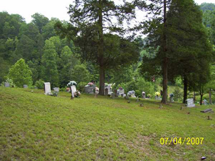
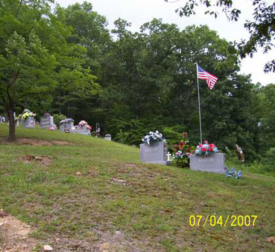
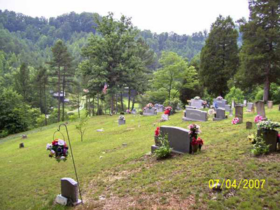
| Memorials | : | 13 |
| Location | : | Burning Springs, Clay County, USA |
| Coordinate | : | 37.2621700, -83.7846000 |
frequently asked questions (FAQ):
-
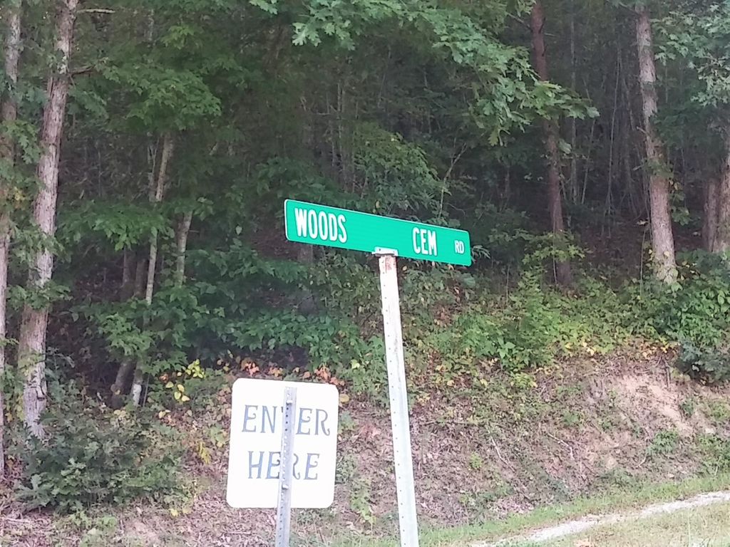
Where is Woods Cemetery?
Woods Cemetery is located at Gabbard Branch Rd Burning Springs, Clay County ,Kentucky , 40962USA.
-
Woods Cemetery cemetery's updated grave count on graveviews.com?
12 memorials
-
Where are the coordinates of the Woods Cemetery?
Latitude: 37.2621700
Longitude: -83.7846000
Nearby Cemetories:
1. Scott Cemetery
Burning Springs, Clay County, USA
Coordinate: 37.2424500, -83.7902800
2. George W Melton Cemetery
Laurel Creek, Clay County, USA
Coordinate: 37.2714005, -83.7581024
3. McDaniel Cemetery
Chestnutburg, Clay County, USA
Coordinate: 37.2825012, -83.7996979
4. Mcqueen Family Cemetery
Burning Springs, Clay County, USA
Coordinate: 37.2607180, -83.8157650
5. George McQueen Cemetery
Clay County, USA
Coordinate: 37.2618100, -83.8162100
6. Ezekiel Sandlin Cemetery
Chestnutburg, Clay County, USA
Coordinate: 37.2796120, -83.7611280
7. Ray Cemetery
Chestnutburg, Clay County, USA
Coordinate: 37.2821999, -83.7632980
8. Smith Cemetery #4
Burning Springs, Clay County, USA
Coordinate: 37.2691100, -83.8175700
9. Smith Cemetery #9
Burning Springs, Clay County, USA
Coordinate: 37.2692250, -83.8176530
10. Boston Gap Cemetery
Ammie, Clay County, USA
Coordinate: 37.2640900, -83.7490500
11. Runion Cemetery
Fall Rock, Clay County, USA
Coordinate: 37.2323100, -83.7872700
12. Cope Cemetery
Fall Rock, Clay County, USA
Coordinate: 37.2321000, -83.7874500
13. Collins Cemetery #3
Laurel Creek, Clay County, USA
Coordinate: 37.2472000, -83.7513600
14. Hensley Cemetery
Laurel Creek, Clay County, USA
Coordinate: 37.2381800, -83.7609800
15. Thompson Cemetery
Burning Springs, Clay County, USA
Coordinate: 37.2430000, -83.8148500
16. Ball Cemetery
Chestnutburg, Clay County, USA
Coordinate: 37.2933006, -83.7810974
17. T & B Cemetery
Laurel Creek, Clay County, USA
Coordinate: 37.2294920, -83.7782220
18. Genty Cemetery
Chestnutburg, Clay County, USA
Coordinate: 37.2971992, -83.7932968
19. Mize Branch Community Cemetery
Manchester, Clay County, USA
Coordinate: 37.2347259, -83.8159595
20. Brown Mission Cemetery
Laurel Creek, Clay County, USA
Coordinate: 37.2349800, -83.7527600
21. Lunsford and Morgan Cemetery
Laurel Creek, Clay County, USA
Coordinate: 37.2346300, -83.7530600
22. Spurlock-Gabbard Cemetery
Fall Rock, Clay County, USA
Coordinate: 37.2283790, -83.8050060
23. Coldiron Cemetery
Laurel Creek, Clay County, USA
Coordinate: 37.2351630, -83.7515670
24. Massey Cemetery
Fall Rock, Clay County, USA
Coordinate: 37.2240050, -83.7871950