
| Memorials | : | 14 |
| Location | : | Laurel Creek, Clay County, USA |
| Coordinate | : | 37.2472000, -83.7513600 |
frequently asked questions (FAQ):
-
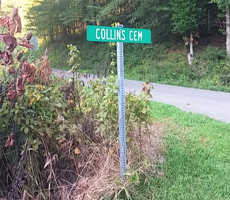
Where is Collins Cemetery #3?
Collins Cemetery #3 is located at Collins Cemetery Rd Laurel Creek, Clay County ,Kentucky ,USA.
-
Collins Cemetery #3 cemetery's updated grave count on graveviews.com?
14 memorials
-
Where are the coordinates of the Collins Cemetery #3?
Latitude: 37.2472000
Longitude: -83.7513600

Nearby Cemetories:
1. Hensley Cemetery
Laurel Creek, Clay County, USA
Coordinate: 37.2381800, -83.7609800
2. Coldiron Cemetery
Laurel Creek, Clay County, USA
Coordinate: 37.2351630, -83.7515670
3. Brown Mission Cemetery
Laurel Creek, Clay County, USA
Coordinate: 37.2349800, -83.7527600
4. Lunsford and Morgan Cemetery
Laurel Creek, Clay County, USA
Coordinate: 37.2346300, -83.7530600
5. Boston Gap Cemetery
Ammie, Clay County, USA
Coordinate: 37.2640900, -83.7490500
6. George W Melton Cemetery
Laurel Creek, Clay County, USA
Coordinate: 37.2714005, -83.7581024
7. T & B Cemetery
Laurel Creek, Clay County, USA
Coordinate: 37.2294920, -83.7782220
8. Chicken Branch Cemetery
Mill Pond, Clay County, USA
Coordinate: 37.2220660, -83.7666400
9. Oscar Hornsby Cemetery
Mill Pond, Clay County, USA
Coordinate: 37.2253000, -83.7289200
10. Woods Cemetery
Burning Springs, Clay County, USA
Coordinate: 37.2621700, -83.7846000
11. Scott Cemetery
Burning Springs, Clay County, USA
Coordinate: 37.2424500, -83.7902800
12. Runion Cemetery
Fall Rock, Clay County, USA
Coordinate: 37.2323100, -83.7872700
13. Cope Cemetery
Fall Rock, Clay County, USA
Coordinate: 37.2321000, -83.7874500
14. Ezekiel Sandlin Cemetery
Chestnutburg, Clay County, USA
Coordinate: 37.2796120, -83.7611280
15. Massey Family Cemetery
Bernice, Clay County, USA
Coordinate: 37.2132300, -83.7641700
16. Ray Cemetery
Chestnutburg, Clay County, USA
Coordinate: 37.2821999, -83.7632980
17. Massey Cemetery
Fall Rock, Clay County, USA
Coordinate: 37.2240050, -83.7871950
18. James Keith Cemetery
Fall Rock, Clay County, USA
Coordinate: 37.2097480, -83.7730560
19. Elijah Campbell Cemetery
Fall Rock, Clay County, USA
Coordinate: 37.2184200, -83.7898400
20. Peaceful Valley Cemetery
Laurel Creek, Clay County, USA
Coordinate: 37.2140900, -83.7180200
21. Treadway Cemetery
Bernice, Clay County, USA
Coordinate: 37.2023500, -83.7407300
22. Spurlock-Gabbard Cemetery
Fall Rock, Clay County, USA
Coordinate: 37.2283790, -83.8050060
23. Jackson Cemetery #6
Bernice, Clay County, USA
Coordinate: 37.2005200, -83.7432000
24. Hensley Cemetery
Ammie, Clay County, USA
Coordinate: 37.2656540, -83.6924540