
| Memorials | : | 0 |
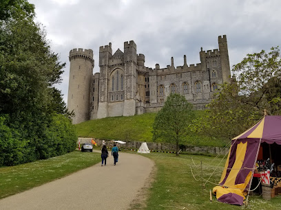
| Location | : | Arundel, Arun District, England |
| Coordinate | : | 50.8468960, -0.5381370 |
| Description | : | Built on land given to by her husband Flora, Duchess of Norfolk Henry 15th Duke of Norfolk. The Convent Of Poor Clares Arundel West Sussex BN18 9PJ |
frequently asked questions (FAQ):
-
Where is Convent of Poor Clare Cemetery?
Convent of Poor Clare Cemetery is located at Arundel, Arun District ,West Sussex , BN18 9PJEngland.
-
Convent of Poor Clare Cemetery cemetery's updated grave count on graveviews.com?
0 memorials
-
Where are the coordinates of the Convent of Poor Clare Cemetery?
Latitude: 50.8468960
Longitude: -0.5381370
Nearby Cemetories:
1. Fitzalan Chapel
Arundel, Arun District, England
Coordinate: 50.8556950, -0.5534210
2. St. Nicholas' Churchyard
Arundel, Arun District, England
Coordinate: 50.8555520, -0.5570710
3. St Mary Magdalene Churchyard
Lyminster, Arun District, England
Coordinate: 50.8335650, -0.5485680
4. Arundel Cathedral
Arundel, Arun District, England
Coordinate: 50.8551180, -0.5588380
5. Arundel Roman Catholic Cemetery
Arundel, Arun District, England
Coordinate: 50.8550780, -0.5601950
6. Arundel Cemetery
Arundel, Arun District, England
Coordinate: 50.8517220, -0.5628240
7. St Nicholas Churchyard
Poling, Arun District, England
Coordinate: 50.8315400, -0.5144600
8. St. Mary the Virgin Churchyard
Burpham, Arun District, England
Coordinate: 50.8709730, -0.5244080
9. Saint Mary Magdalene Churchyard
Tortington, Arun District, England
Coordinate: 50.8357610, -0.5768007
10. Littlehampton Cemetery
Littlehampton, Arun District, England
Coordinate: 50.8190710, -0.5282800
11. St Andrew-by-the-Ford Church
Ford, Arun District, England
Coordinate: 50.8242700, -0.5780060
12. St Leonard’s Churchyard
South Stoke, Arun District, England
Coordinate: 50.8807500, -0.5420700
13. Brookside Cemetery
Rustington, Arun District, England
Coordinate: 50.8182133, -0.5048826
14. St Wilfrid Roman Catholic Cemetery
Angmering, Arun District, England
Coordinate: 50.8300437, -0.4858832
15. St. Margaret's Parish Churchyard
Angmering, Arun District, England
Coordinate: 50.8289920, -0.4860946
16. St Mary Churchyard
Littlehampton, Arun District, England
Coordinate: 50.8089180, -0.5385450
17. St Peter and St Paul Churchyard
Rustington, Arun District, England
Coordinate: 50.8103200, -0.5107400
18. St Mary Churchyard
Climping (Clymping), Arun District, England
Coordinate: 50.8137720, -0.5777690
19. St Mary the Virgin Churchyard
East Preston, Arun District, England
Coordinate: 50.8125610, -0.4897360
20. St. Mary the Virgin
Yapton, Arun District, England
Coordinate: 50.8230000, -0.6076000
21. St Mary Churchyard
Walberton, Arun District, England
Coordinate: 50.8436840, -0.6186680
22. St John the Divine Churchyard
Patching, Arun District, England
Coordinate: 50.8485920, -0.4570270
23. Church of Saint Mary the Virgin
Clapham, Arun District, England
Coordinate: 50.8487294, -0.4446710
24. St. John the Evangelist Churchyard
Bury, Chichester District, England
Coordinate: 50.9084756, -0.5565667