
| Memorials | : | 56 |
| Location | : | Cool Springs, Gibson County, USA |
| Coordinate | : | 36.1618996, -89.1393967 |
| Description | : | It is located very close to the Dyer County line but is inside Gibson County. |
frequently asked questions (FAQ):
-
Where is Cool Springs Cumberland Presbyterian Cemetery?
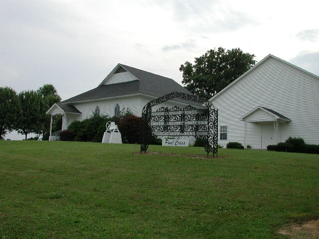
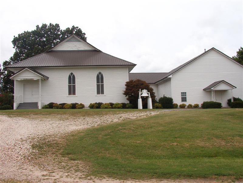
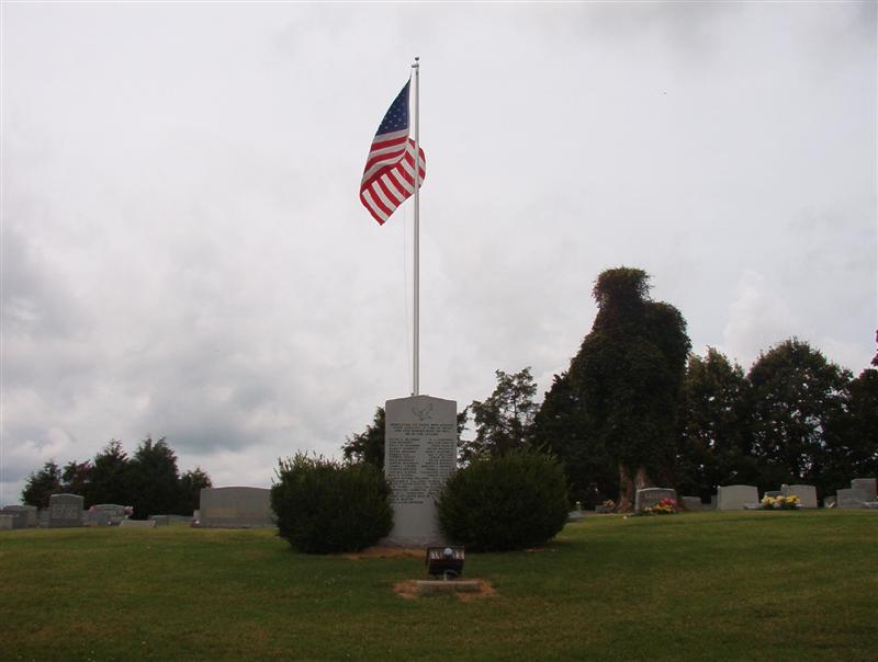
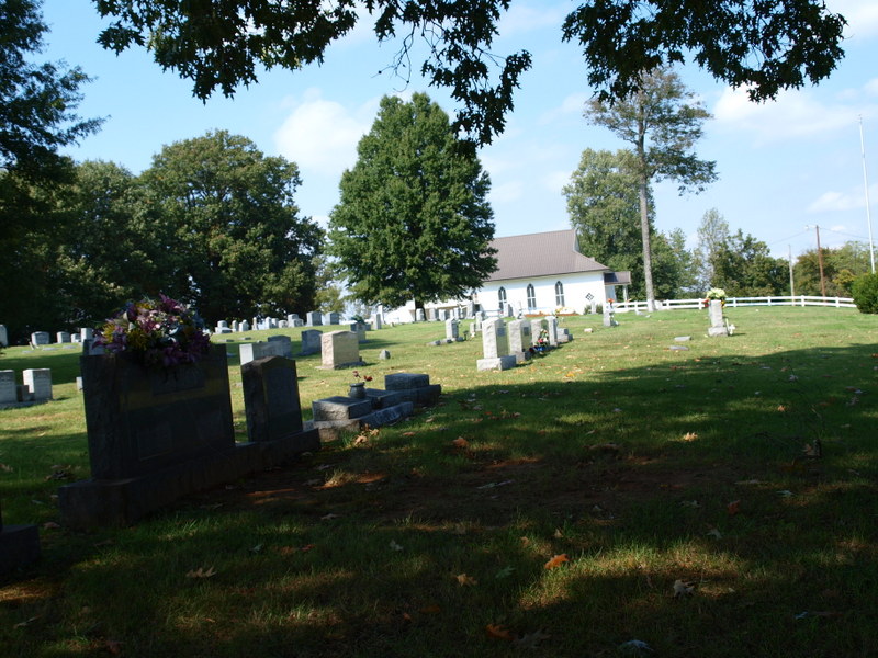
Cool Springs Cumberland Presbyterian Cemetery is located at Cool Springs, Gibson County ,Tennessee ,USA.
-
Cool Springs Cumberland Presbyterian Cemetery cemetery's updated grave count on graveviews.com?
56 memorials
-
Where are the coordinates of the Cool Springs Cumberland Presbyterian Cemetery?
Latitude: 36.1618996
Longitude: -89.1393967
Nearby Cemetories:
1. Pettus Family Cemetery
Yorkville, Gibson County, USA
Coordinate: 36.1797000, -89.1472700
2. Jones Cemetery
Trimble, Dyer County, USA
Coordinate: 36.1891590, -89.1589510
3. Bethpage Baptist Church Cemetery
Gibson County, USA
Coordinate: 36.1683000, -89.0950000
4. Reed Burial Ground
Yorkville, Gibson County, USA
Coordinate: 36.1176420, -89.1372490
5. Mount Carmel Church Cemetery
Churchton, Dyer County, USA
Coordinate: 36.1293440, -89.1844930
6. North Union Cemetery
Kenton, Gibson County, USA
Coordinate: 36.1652985, -89.0736008
7. McCorkle Cemetery
Newbern, Dyer County, USA
Coordinate: 36.1260860, -89.1921050
8. Mason Hall Cemetery
Mason Hall, Obion County, USA
Coordinate: 36.2042100, -89.0935750
9. New Salem Baptist Church Cemetery
Mason Hall, Obion County, USA
Coordinate: 36.2150800, -89.1016300
10. Yorkville Cumberland Presbyterian Church Cemetery
Yorkville, Gibson County, USA
Coordinate: 36.1007996, -89.1231003
11. Pierce Cemetery
Trimble, Dyer County, USA
Coordinate: 36.1996210, -89.2041830
12. Yorkville Cemetery
Yorkville, Gibson County, USA
Coordinate: 36.0980988, -89.1207962
13. Fisher Cemetery
Trimble, Dyer County, USA
Coordinate: 36.1743000, -89.2209000
14. Hollomon Cemetery
Mason Hall, Obion County, USA
Coordinate: 36.2143980, -89.0792070
15. Bells Chapel Cemetery
Dyer, Gibson County, USA
Coordinate: 36.1164017, -89.0686035
16. Bethel MB Church Cemetery
Yorkville, Gibson County, USA
Coordinate: 36.0878910, -89.1180910
17. Bethel Cemetery
Yorkville, Gibson County, USA
Coordinate: 36.0871370, -89.1178680
18. Roach Cemetery
Obion County, USA
Coordinate: 36.2398222, -89.1122983
19. Cowan Cemetery
Dyer, Gibson County, USA
Coordinate: 36.0978120, -89.0753020
20. Liberty Grove Cemetery
Rutherford, Gibson County, USA
Coordinate: 36.1439760, -89.0371100
21. Center Cemetery
Newbern, Dyer County, USA
Coordinate: 36.0835740, -89.1849550
22. Miles Cemetery
Kenton, Obion County, USA
Coordinate: 36.2453720, -89.1021810
23. Thompson Cemetery
Rutherford, Gibson County, USA
Coordinate: 36.1047220, -89.0553430
24. Atkins Cemetery
Newbern, Dyer County, USA
Coordinate: 36.1021810, -89.2333780