
| Memorials | : | 4 |
| Location | : | Rutherford, Gibson County, USA |
| Coordinate | : | 36.1439760, -89.0371100 |
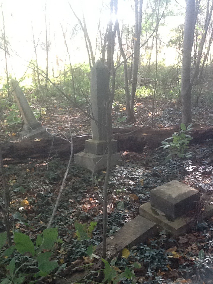
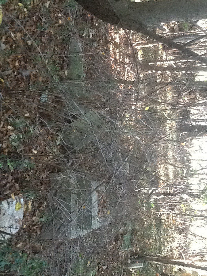
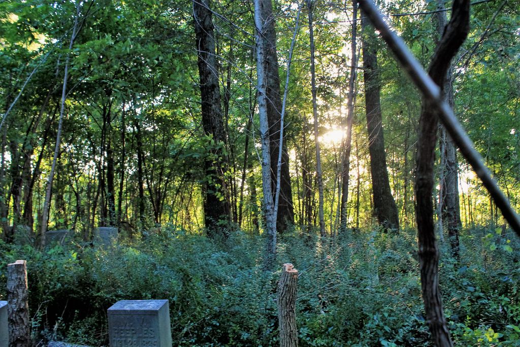
| Description | : | This is a small abandoned cemetery located in a woods lot. From Rutherford, Tn., go west on TN-105, turn right on Northerns Chapel Rd., turn east (left) on George King Rd. ( gravel ). Cemetery is in a woods lot on the south (left) about 300 yds. off the road, behind some silo's and large metal bldg. This land is owned by Mr. Wayne Grant of Kenton, but his son David lives on Northerns Chapel Rd. in view of the cemetery. |
frequently asked questions (FAQ):
-
Where is Liberty Grove Cemetery?
Liberty Grove Cemetery is located at George King Rd Rutherford, Gibson County ,Tennessee ,USA.
-
Liberty Grove Cemetery cemetery's updated grave count on graveviews.com?
4 memorials
-
Where are the coordinates of the Liberty Grove Cemetery?
Latitude: 36.1439760
Longitude: -89.0371100
Nearby Cemetories:
1. Carroll Cemetery
Rutherford, Gibson County, USA
Coordinate: 36.1453900, -89.0140800
2. Flowers Chapel Cemetery
Rutherford, Gibson County, USA
Coordinate: 36.1198820, -89.0265080
3. Smithson-Askew Cemetery
Rutherford, Gibson County, USA
Coordinate: 36.1667300, -89.0159600
4. New Victory MB Church Cemetery
Rutherford, Gibson County, USA
Coordinate: 36.1596780, -88.9978150
5. Rutherford Cemetery
Rutherford, Gibson County, USA
Coordinate: 36.1258011, -88.9989014
6. North Union Cemetery
Kenton, Gibson County, USA
Coordinate: 36.1652985, -89.0736008
7. Wilkes Cemetery
Rutherford, Gibson County, USA
Coordinate: 36.1097380, -89.0214500
8. Bells Chapel Cemetery
Dyer, Gibson County, USA
Coordinate: 36.1164017, -89.0686035
9. Keathley & Peel Family Cemetery
Gibson County, USA
Coordinate: 36.1651820, -88.9949470
10. Taylor Family Cemetery
Rutherford, Gibson County, USA
Coordinate: 36.1049700, -89.0226300
11. Thompson Cemetery
Rutherford, Gibson County, USA
Coordinate: 36.1047220, -89.0553430
12. Crockett Memorial Plot
Rutherford, Gibson County, USA
Coordinate: 36.1299620, -88.9871980
13. Rossons Cemetery
Kenton, Gibson County, USA
Coordinate: 36.1799158, -89.0083141
14. Flowers - Wright Cemetery
Dyer, Gibson County, USA
Coordinate: 36.0951100, -89.0348700
15. Old Bluff Cemetery
Rutherford, Gibson County, USA
Coordinate: 36.1417870, -88.9751880
16. Bethpage Baptist Church Cemetery
Gibson County, USA
Coordinate: 36.1683000, -89.0950000
17. West Side Cemetery
Kenton, Gibson County, USA
Coordinate: 36.1979200, -89.0267000
18. Sunnyside Cemetery
Kenton, Gibson County, USA
Coordinate: 36.1982994, -89.0252991
19. Cowan Cemetery
Dyer, Gibson County, USA
Coordinate: 36.0978120, -89.0753020
20. Mount Olive Cemetery
Dyer, Gibson County, USA
Coordinate: 36.0807991, -89.0278015
21. Hopper Cemetery
Dyer, Gibson County, USA
Coordinate: 36.0936200, -88.9878680
22. Crenshaw-Wyatt Cemetery
Dyer, Gibson County, USA
Coordinate: 36.0778090, -89.0589010
23. Walnut Grove Baptist Church Cemetery
Gibson County, USA
Coordinate: 36.1742000, -88.9606000
24. Beech Grove Cemetery
Rutherford, Gibson County, USA
Coordinate: 36.1591988, -88.9464035