
| Memorials | : | 34 |
| Location | : | Mill Spring, Polk County, USA |
| Coordinate | : | 35.3786030, -82.1986630 |
frequently asked questions (FAQ):
-
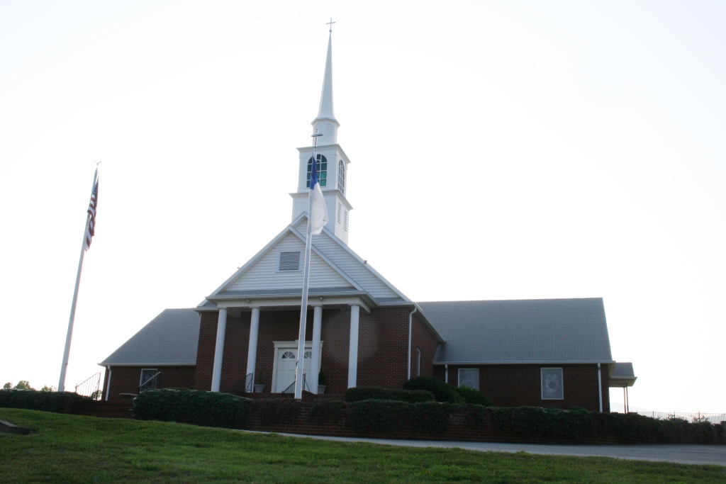
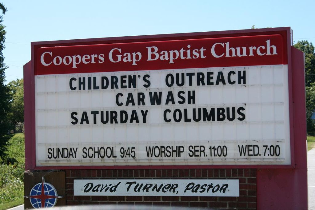
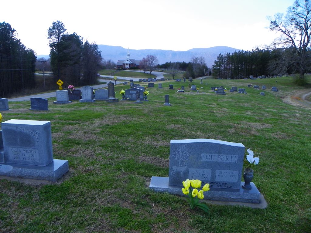
Where is Coopers Gap Baptist Church Cemetery?
Coopers Gap Baptist Church Cemetery is located at 730 Cooper Gap Rd Mill Spring, Polk County ,North Carolina , 28756USA.
-
Coopers Gap Baptist Church Cemetery cemetery's updated grave count on graveviews.com?
19 memorials
-
Where are the coordinates of the Coopers Gap Baptist Church Cemetery?
Latitude: 35.3786030
Longitude: -82.1986630
Nearby Cemetories:
1. McGuinn Burying Ground
Mill Spring, Polk County, USA
Coordinate: 35.3941157, -82.1944560
2. Laughter Family Cemetery
Mill Spring, Polk County, USA
Coordinate: 35.3992130, -82.1977540
3. Victory in Jesus Baptist Church Cemetery
Mill Spring, Polk County, USA
Coordinate: 35.3573120, -82.1833700
4. Cane Creek Missionary Baptist Church Cemetery
Lake Lure, Rutherford County, USA
Coordinate: 35.4090340, -82.1950920
5. Son RIse Old TIme Gospel Church Cemetery
Mill Spring, Polk County, USA
Coordinate: 35.4040300, -82.1723580
6. Grassy Knob Church Cemetery
Lake Lure, Rutherford County, USA
Coordinate: 35.4087500, -82.1723090
7. Mountain View Baptist Church Cemetery
Mill Spring, Polk County, USA
Coordinate: 35.3533530, -82.2353240
8. Big Level Baptist Church Cemetery
Mill Spring, Polk County, USA
Coordinate: 35.3632060, -82.1509230
9. Weaver Cemetery
Lake Lure, Rutherford County, USA
Coordinate: 35.4294587, -82.2047271
10. Temple of Jesus Cemetery
Lake Lure, Rutherford County, USA
Coordinate: 35.4255508, -82.1639378
11. Rock Springs Baptist Church Cemetery
Rutherfordton, Rutherford County, USA
Coordinate: 35.3970520, -82.1287280
12. Silver Creek Baptist Church Cemetery
Mill Spring, Polk County, USA
Coordinate: 35.3209460, -82.2270300
13. Chimney Rock Baptist Church Cemetery
Lake Lure, Rutherford County, USA
Coordinate: 35.4382380, -82.2301020
14. Early Cemetery
Mill Spring, Polk County, USA
Coordinate: 35.3278821, -82.2504389
15. Whiteside Family Cemetery
Uree, Rutherford County, USA
Coordinate: 35.4234390, -82.1384470
16. Lebanon Methodist Church Cemetery
Mill Spring, Polk County, USA
Coordinate: 35.3532710, -82.1189030
17. Faith Temple Baptist Church Cemetery
Mill Spring, Polk County, USA
Coordinate: 35.3227044, -82.1468833
18. Jackson at Bright's Creek Cemetery
Polk County, USA
Coordinate: 35.3317700, -82.2672800
19. Mountain Home Baptist Church Cemetery
Edneyville, Henderson County, USA
Coordinate: 35.3950745, -82.2884417
20. Collins Cemetery
Edneyville, Henderson County, USA
Coordinate: 35.4082280, -82.2849970
21. Flynn Cemetery
Bills Creek, Rutherford County, USA
Coordinate: 35.4530640, -82.1729440
22. Arledge Cemetery
Mill Spring, Polk County, USA
Coordinate: 35.3154550, -82.2534460
23. Bagwell Cemetery
Lake Lure, Rutherford County, USA
Coordinate: 35.4542730, -82.1719410
24. Faith Baptist Church Cemetery
Mill Spring, Polk County, USA
Coordinate: 35.3013040, -82.1656650