
| Memorials | : | 0 |
| Location | : | Mill Spring, Polk County, USA |
| Coordinate | : | 35.3941157, -82.1944560 |
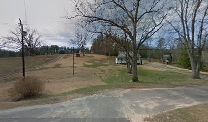
| Description | : | This is the McGuinn family cemetery on their old homesite referred to by family and in family history as the 'McGuinn Burying Ground'. After its location being lost for decades, Michael McGuinn III's stone grave marker was first discovered in the 1970's but then again went lost until re-discovery in 2022. At least three generations of the McGuinn family believe to be intern here ranging from the early 1800's thru to the early 1900's. |
frequently asked questions (FAQ):
-
Where is McGuinn Burying Ground?
McGuinn Burying Ground is located at 7469 Highway 9 Mill Spring, Polk County ,North Carolina , 28756USA.
-
McGuinn Burying Ground cemetery's updated grave count on graveviews.com?
0 memorials
-
Where are the coordinates of the McGuinn Burying Ground?
Latitude: 35.3941157
Longitude: -82.1944560
Nearby Cemetories:
1. Laughter Family Cemetery
Mill Spring, Polk County, USA
Coordinate: 35.3992130, -82.1977540
2. Cane Creek Missionary Baptist Church Cemetery
Lake Lure, Rutherford County, USA
Coordinate: 35.4090340, -82.1950920
3. Coopers Gap Baptist Church Cemetery
Mill Spring, Polk County, USA
Coordinate: 35.3786030, -82.1986630
4. Son RIse Old TIme Gospel Church Cemetery
Mill Spring, Polk County, USA
Coordinate: 35.4040300, -82.1723580
5. Grassy Knob Church Cemetery
Lake Lure, Rutherford County, USA
Coordinate: 35.4087500, -82.1723090
6. Weaver Cemetery
Lake Lure, Rutherford County, USA
Coordinate: 35.4294587, -82.2047271
7. Victory in Jesus Baptist Church Cemetery
Mill Spring, Polk County, USA
Coordinate: 35.3573120, -82.1833700
8. Temple of Jesus Cemetery
Lake Lure, Rutherford County, USA
Coordinate: 35.4255508, -82.1639378
9. Big Level Baptist Church Cemetery
Mill Spring, Polk County, USA
Coordinate: 35.3632060, -82.1509230
10. Mountain View Baptist Church Cemetery
Mill Spring, Polk County, USA
Coordinate: 35.3533530, -82.2353240
11. Chimney Rock Baptist Church Cemetery
Lake Lure, Rutherford County, USA
Coordinate: 35.4382380, -82.2301020
12. Rock Springs Baptist Church Cemetery
Rutherfordton, Rutherford County, USA
Coordinate: 35.3970520, -82.1287280
13. Whiteside Family Cemetery
Uree, Rutherford County, USA
Coordinate: 35.4234390, -82.1384470
14. Flynn Cemetery
Bills Creek, Rutherford County, USA
Coordinate: 35.4530640, -82.1729440
15. Bagwell Cemetery
Lake Lure, Rutherford County, USA
Coordinate: 35.4542730, -82.1719410
16. Mount Nebo Baptist Cemetery
Lake Lure, Rutherford County, USA
Coordinate: 35.4502700, -82.1500200
17. Buffalo Cemetery
Lake Lure, Rutherford County, USA
Coordinate: 35.4611250, -82.1910620
18. Fairfield Mountains Chapel Columbarium
Lake Lure, Rutherford County, USA
Coordinate: 35.4612430, -82.1878700
19. Bills Creek Baptist Church Cemetery
Bills Creek, Rutherford County, USA
Coordinate: 35.4514980, -82.1411210
20. Lebanon Methodist Church Cemetery
Mill Spring, Polk County, USA
Coordinate: 35.3532710, -82.1189030
21. Collins Cemetery
Edneyville, Henderson County, USA
Coordinate: 35.4082280, -82.2849970
22. Mountain Home Baptist Church Cemetery
Edneyville, Henderson County, USA
Coordinate: 35.3950745, -82.2884417
23. Silver Creek Baptist Church Cemetery
Mill Spring, Polk County, USA
Coordinate: 35.3209460, -82.2270300
24. Saint Johns Missionary Baptist Cemetery
Lake Lure, Rutherford County, USA
Coordinate: 35.4523926, -82.1266098